-2")

Tuesday Overview: After rain, heat builds this week
We hope you had a great July 4th weekend! The weather cooperated for most part for outdoor activities over the holiday weekend. But rain with a wave of low pressure moved into the region overnight. Some areas received 0.50″ to 1.50″ of rainfall including parts of Central NJ, NYC and Long Island. Which will only put a small dent in moderate drought conditions in the area. Other areas, especially further north have seen much lighter rainfall.
Rain is now ending from west to east over the region this morning. A ridge building over region will cause skies clear for more sunshine this afternoon. Temperature will rise into in the middle to upper 80s. Humidity levels will remain high. Thus, there is slight chance that that a shower or thunderstorm could still pop up around the region later this afternoon or early evening. However, the ridge will continue build with hotter and humid conditions likely for the rest of the week. Some thunderstorms may also be around as well. Here are some highlights for later this week:
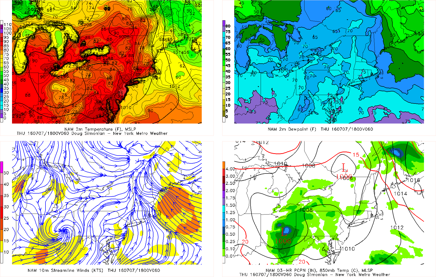
⦁ First heat wave of the summer is possible in NYC metro with temperatures are likely to exceeding 90°F over next several days. Heat indices could be between 95°F to 100°F. Afternoon sea-breezes may keep temperatures slightly cooler near the shore.
⦁ Some scattered showers and thunderstorms are possible on Thursday afternoon and evening with a weak cold front and upper-level disturbance moving through the region.
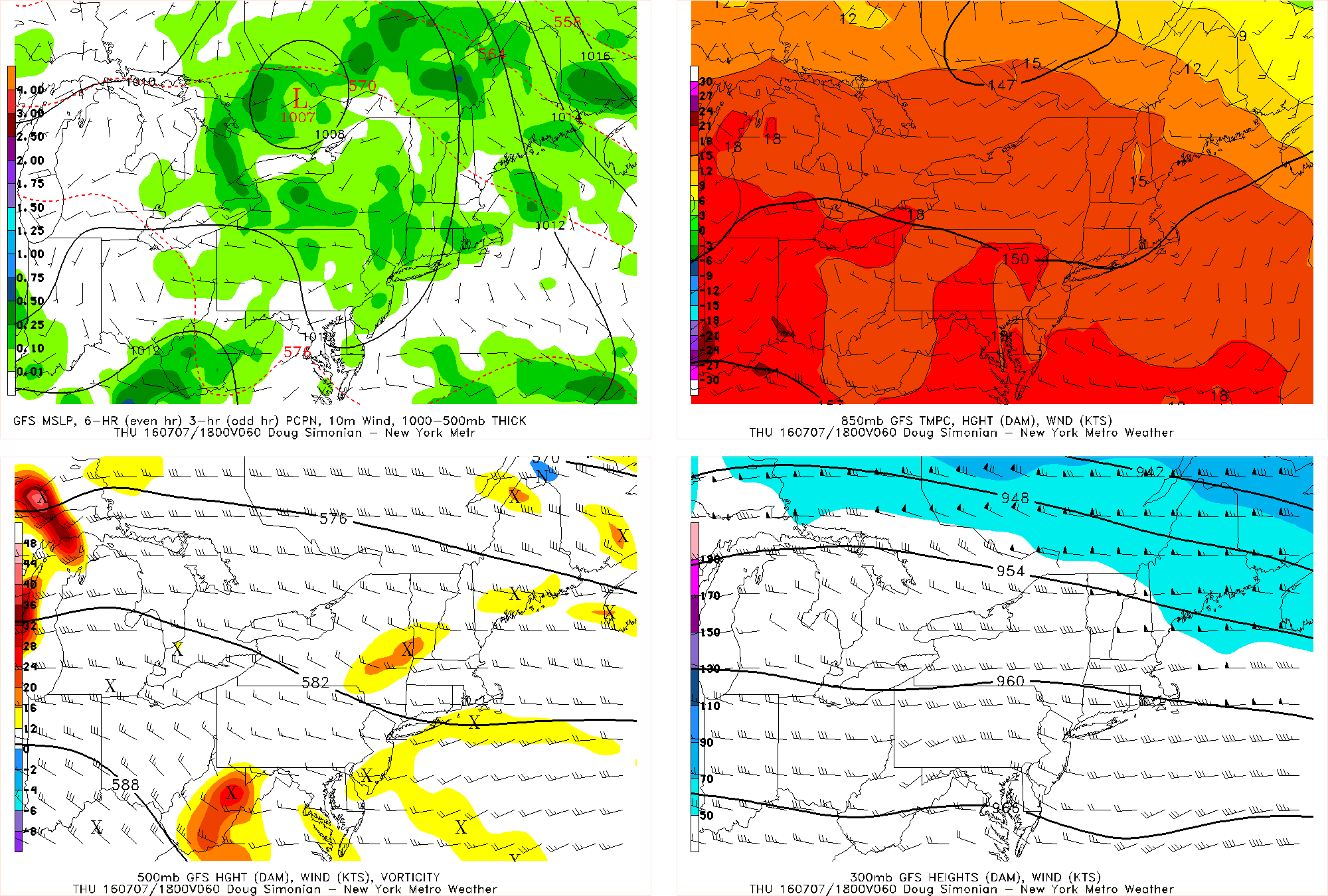
⦁ A stronger frontal system and upper-level trough moving the Great Lakes may produce more showers and thunderstorms sometime late Friday and Saturday.
For more details on the forecast, the long-range outlook and of course, our well-known discussion videos, sign up for Premium Membership today. You will not be disappointed!