-2")

Weekend Overview: Heat wave continues into early next week
The heat wave started on Friday for most of the region with temperatures reaching the middle to upper 90s. Fortunately some strong to severe thunderstorms stayed mostly northeast of region last night. Today will be another very hot day, with sunshine and temperatures rising into middle to upper 90s again this afternoon — perhaps even touching 100°F in a few spots such as JFK and EWR. It will actually be less humid today than on Friday with drier, gusty west-northwest winds this afternoon. But heat index values will still be near 100°F this afternoon, with the very hot temperatures.
A weak cold front will pass through this evening, but we will remain dry. A slightly cooler and drier airmass behind it will be coming behind this cold front tonight and Sunday. It will still be very warm overnight then hot again on Sunday with temperatures reaching the lower to middle 90s again, over much of New Jersey and NYC metro. Some afternoon sea-breezes may bring some cooler relief near the coast. But humidity will also increase for those areas. Some other highlights for next few days below:
- It will be very hot for the Yankee games today and tomorrow with temperatures in the 90s. Take precautions — stay hydrated, if you’re heading to Yankee stadium this weekend.
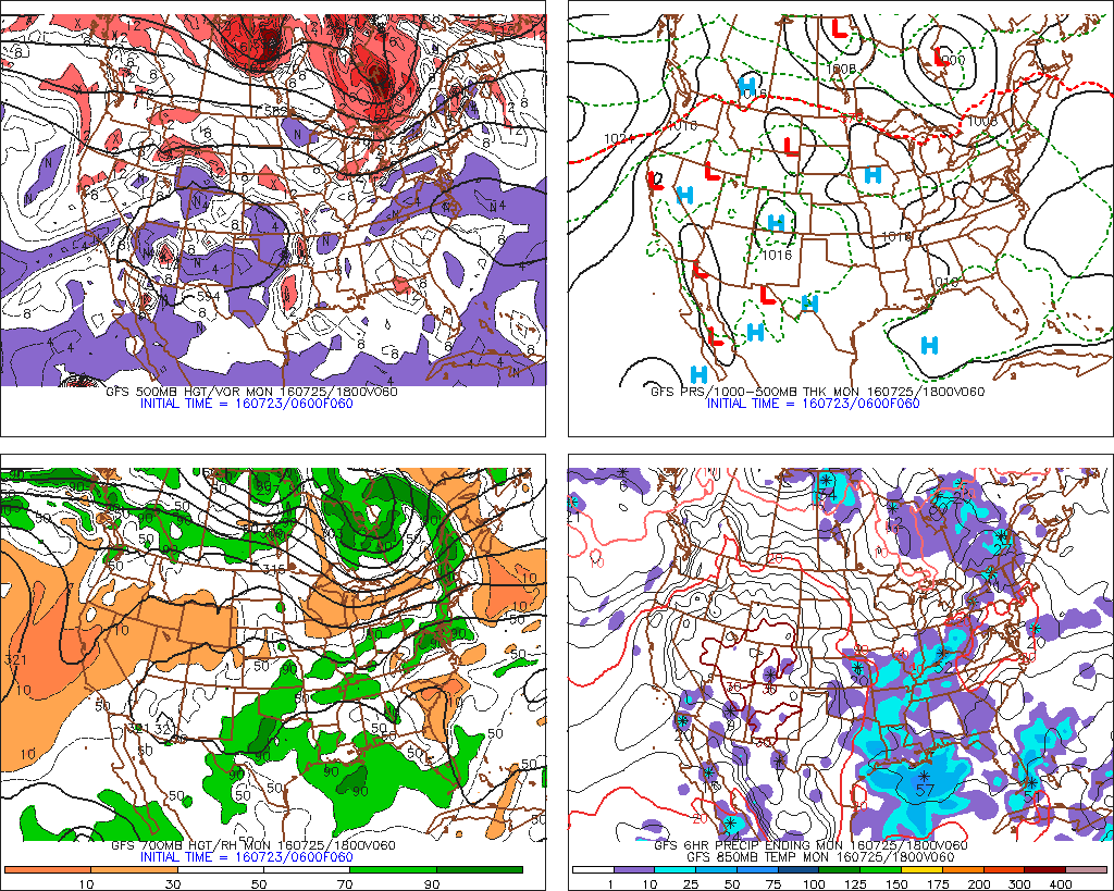
- A ridge will build again into the region with temperatures in the 90s and more humidity early next week. It is once again possible for a few hot spots to approach or hit 100F on Monday and Tuesday.
- The Storm Prediction Center has issued a marginal risk for another chance at some strong to severe thunderstorms later on Monday with another frontal system moving through region.
For more details on the forecast, including more video discussions and long-range outlooks, sign-up to become a Premium member today! You won’t be disappointed!