-2")

Friday Overview: Unsettled Weather Continues…Watching Hurricane Matthew
A large cut-off low over the Ohio Valley continues to cause some unsettled, cooler weather over the region. So far high pressure positioned to the northeast, has keep heavier rainfall over southwest of NYC metro. But with a strengthening low-level easterly jet, more band rains are likely to move in from the ocean later today. Some of this rain, may be heavy at times. Which could lead to some ponding of water on area roadways and some flooding in poor-drainage and low-lying areas.
The low-level jet will is also making for some windy conditions today. Wind gusts out of the east to northeast up to 40mph are possible today, especially near the coast. This will likely result in some minor coastal flooding during the high tides today and tonight. More periods of rain and drizzle are likely tonight and tomorrow, as more upper-level disturbances and a frontal boundary moves slowly northward from the Mid-Atlantic region. It remain cool tonight and tomorrow with temperatures mostly in the 50s or lower 60s.

HRRR model showing bands of moderate to heavy rain coming of the ocean later this afternoon
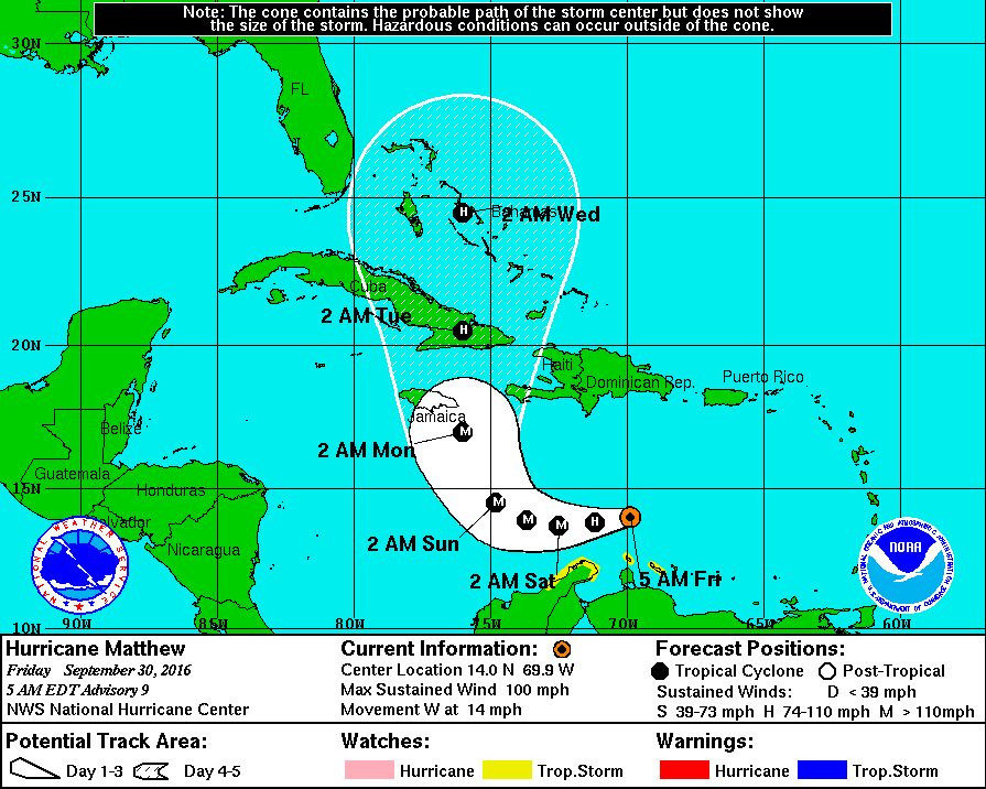
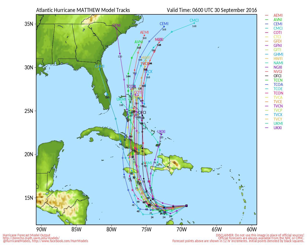
The cut-off low will weaken and lift northeast into New England by early next week, as the West Atlantic ridge breaks down. Some scattered showers are still possible around the region Sunday, and into early next week. Temperatures will likely be at least few degrees cooler than normal through early next week. Meanwhile, despite some strong shear, Matthew strengthened overnight to category 2 hurricane with maximum sustained winds at 100mph winds over the Central Caribbean. It is expected to turn northward and intensify into a major hurricane, before moving through out of the Caribbean and into the Bahamas by early next week.

Infrared satellite imagery showing deep convection over Matthew center this morning
However, much of latest model guidance overnight shows a large trough coming from the west, the causes Matthew to turn away from the US east coast later next week. So we currently aren’t anticipating any direct impacts from Matthew, over the region. But we will continue to monitor this storm through the weekend, with more public and premium updates. You can also track the Matthew on the tropical weather dashboard.
For more details on the forecast, including video discussions and long-range forecasts, sign up to become a Premium Member today: