-2")

Long range pattern changes largely dependent on the Pacific
“Consistently inconsistent”. We’ve used the phrase a few times in our products over the past few days, and there’s good reason for that: The weather pattern over the past two months has struggled to find any sort of rhythm. Typical of weak La Nina conditions, the hemispheric weather pattern continues to undergo fluctuations, with transitions from warmer to colder patterns occurring every 10 to 15 days. The warmer patterns have the edge so far this year in terms of anomalies throughout much of the Northeast US.
An analysis of the hemispheric pattern “Scorecard” so far this year will bring you to one simple conclusion: The pattern in the Pacific Ocean has, by and large, been the driving force behind the weather observed here in the Northeast US. For some, it’s still hard to comprehend how the weather pattern thousands of miles to our west, in a seemingly harmless part of the world, can have such an impact. But when considering the atmospheres wave pattern, it becomes easier to understand. What happens downstream, to our west, affects the waves and wavelengths that transpire further east.

With this in mind, it’s important to note that the current weather pattern in the Pacific ocean is simply not conducive of any type of prolonged cold or wintry weather in the majority of the Northeast United States. A phenomena more commonly known as a jet extension currently exists there, with lower heights in the atmosphere pushing into the Western United States. Without any impetus to stop it, this allows warmer air to push into the Eastern US as storms track generally to our west and northwest.
This pattern will result in temperatures averaging normal to much above normal across the Eastern 1/3 of the United States for at least the next 5 to 7 days. Think of it this way: In this pattern, the Southeast Ridge has room to amplify, without any type of blocking to our north or any impetus from the Pacific Ocean to force colder air into the Continental United States. So temperatures, overall, will run above normal with more south/southwesterly winds pushing into the Northeast United States.
The pattern, however, is changing. It’s doing so, first, in the tropical pacific — even further away from our area than the North/Eastern Pacific which we so often pay attention to. See, the convection and feedback process that occurs near the dateline in the tropical pacific ocean can lead to changes in the circulation around the entire hemisphere. These are closely monitored, known more affectionately as tropical forcing and the MJO (Madden-Julien Oscillation). In this case, a burst of westerly winds near the dateline is going to aid in a changing pattern across the Pacific Ocean towards the end of January.

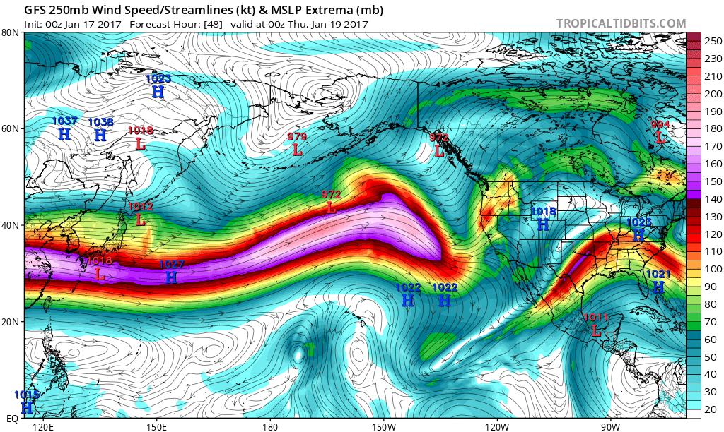
With the aid of tropical forcing, deeper troughs are forecast to amplify in Eastern Asia. This kicks off what we know as a “Wave train” across the Pacific Ocean — often the first impetus for a pattern change upstream in the United States. These waves amplify further east with time, and the feedback process from their circulations in the atmospheres mid and upper levels causes changes to the standing waves (ridges and troughs that last a longer period of time) in the area. In the above loop, we see a standing wave develop towards the end, with a ridge in the Western United States.
This ridging is supported by the progression of the MJO and tropical forcing — and is expected to cause a rise in the PNA and a fall in the EPO. These are two indices which monitor the conditions over the Eastern Pacific and British Columbia towards the arctic. A positive PNA and negative EPO modality of these indices often lead to cold air being dislodged southward into the United States, as this means more ridging in the West US and British Columbia (+PNA) as well as into the Northeast Pacific, NW Canada, and Alaska (-EPO). This is precisely what is being suggested by long range ensembles as we move towards early February.
With all of that in mind, individual storm threats and the depth and intensity of the cold air currently remain a major question. While we have the overall basis for the evolution of the pattern down, with colder air arriving by the last few days of January and early February, exactly how the disturbances and perturbations in the atmosphere play out will have a huge impact on the forecast moving forward.
From the current point of view, the period from January 28th through February 2nd seems likely to feature the “pattern changing” storm system. Beyond that, it appears likely that there will be opportunities for wintry weather and colder air, at least relative to what we have experienced in the last 14 days, through February 14th. As we get closer to this time period, individual storm systems — and the intensity of the cold air — will become more apparent.