-2")

AM All Zones Update: High Winds Today, More Tranquil Weather Tuesday
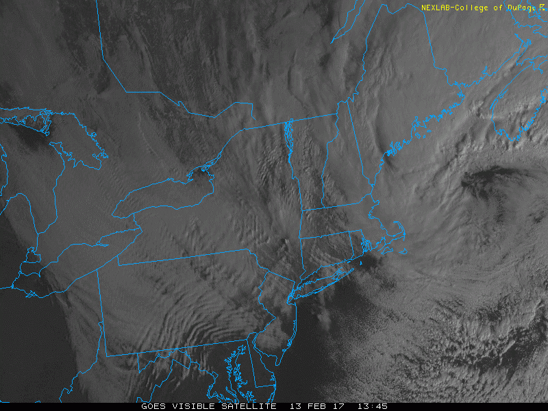
Today will have a mixture of sunshine and clouds, with temperatures remaining mostly in the 30s. But a storm that brought a wintry mix to parts of the region on Sunday, is currently intensifying rapidly east of New England. A tight pressure gradient behind this low has caused winds to gust between 40mph to 50mph already, in some locations early this morning. Strong northwest winds will likely continue through at least early this afternoon, instability and mixing increases. These winds continue to be sustained between 20 to 30 mph with frequent wind gusts between 40mph to 50mph, through early this afternoon.
Model soundings indicate that large portion of 50-60kt winds between 850mb-900mb will be able to mix down today. These could result some isolated winds gusts around 50 to 60mph over the region–especially along coastal parts of New Jersey. The National Weather Service has already issued wind advisories and high wind warnings through throughout the area. These winds could bring down some trees, power lines and cause other minor damage to structures that aren’t properly secured, across the area.

GFS model showing strong winds near the surface behind low pressure east of New England with tight pressure gradient over the local region
Some widely scattered snow showers or flurries are possible, especially north and west of New York City late this morning. As the airmass will be colder and unstable aloft with steep mid-level lapse rates. Then winds will gradually diminish later this afternoon and evening, as low pressure moving further away, causes the pressure gradient to weaken. Tuesday will be feature much lighter winds and even more sunshine. Temperatures will remain close to the seasonal levels in the upper 30s to lower 40s for highs.
A cold front move through region on Wednesday. Some rain or snow showers can’t be completed ruled out. But models continue to keep northern and southern stream disturbance separated and passing north and south of the zones. So there little if any precipitation, is currently anticipated for the much of the region. Temperatures may rise into the middle 40s ahead of this cold front with southwest winds.

Early morning GFS model forecast on Wednesday afternoon
Dry weather is likely for the rest of the week, underneath a confluent flow, behind the upper-level low over Southeast Canada. A colder airmass will be over the region Thursday and Friday with temperatures closer to normal. Then temperatures will moderate over the weekend to above normal again with higher mid-level heights and southwest flow.
Stay tuned for zone forecast updates and continue to check the main dashboard for more discussion on the weather through the extended term.