-2")

3/15 All Zones Noon Update: Snow Showers Today…Wintry Mix Possible Friday Night into Saturday
After the big winter storm and Nor’easter yesterday, that brought 1 to 2 feet of snow to Interior, and more wintry mix to the coast, some what calmer weather returns for few days. Deep surface low pressure will continue to move north into Southeast Canada. Behind it are drier northwesterly winds, which will lead to clouds mixing with sunshine this afternoon withcold and blustery conditions. High temperatures this afternoon will reach into the upper 20s to lower 30s for most of the region.
However, some scattered snow showers are possible his afternoon as the mid-level shortwave energy rotating around the upper-level low moves through the region. Model indicated some instability with steep low-level lapse rates. So an isolated snow squall with wind gusts up to 45mph, visibilities under one mile and some light accumulations around 0.5″ to 1.00″ are possible. Roadways that aren’t already treated, may receive a light coating underneath these snow squalls. Later tonight skies will clear and wind diminish late, both instability and tight pressure gradient begin to weaken. Temperatures will drop into middle to upper teens.

Thursday will likely to be continue be cold, with highs in the upper 20s to lower 30s over the region. But more high pressure with subsidence over the region, will support more sunshine and dry conditions. Another frigid and tranquil night, with temperatures dropping teens is likely on Thursday night. Then between the next storm system approaching from the Great Lakes and as a the closed upper-level low lifting out of the Northeast, mid-level height rises may lead a slitly warmer airmass coming into region. However, this airmass will be mitigated by any remaining snowpack, especially over the Interior. So high temperatures may be closer to 40, which is still well below normal (around 50) for this time of year.
Then we watch the storm system or clipper from the Great Lakes attempt to push a warm or occluded front through region Friday night and Saturday. But it will be running colder airmass that may be enhanced somewhat by the remaining snowpack, especially over the Interior. So isentropic lift from the mid-level warm-air advection, on top a cold air mass initially at the surface as will moisture southeast flow off the ocean, will likely result in some precipitation moving in sometime Friday night. This could start off light snow over many areas, especially north of Central NJ, before changing to rain to near coastal areas late at night. Interior colder air maybe harder to erode so some snow or wintry mix could continue into at least Saturday morning. Precipitation may taper off for some areas the during the afternoon hours, as the better lift shifts towards Hudson Valley and New England.

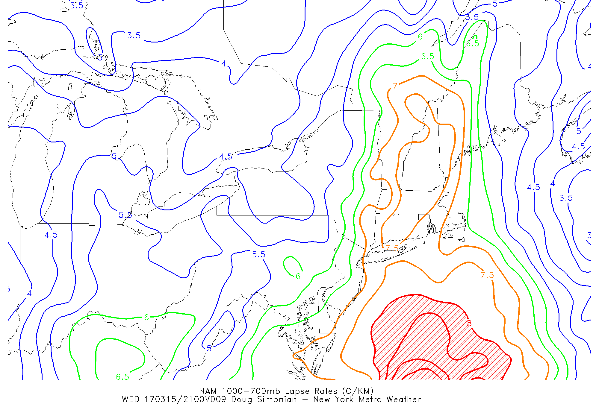
NAM out to 72, showing storm system at surface and upper-level low over Great Lakes with precipitation from mid-level warm-air advection over the region Saturday morning.
But some uncertainty increases afterward, as one reliable models the 0z/11 ECMWF is showing low pressure associated with this storm system reforming further to southeast and then intensifying offshore. If this happens more wintry precipitation could develop again over the entire region Saturday night and Sunday. However, we are skeptical of the shortwave trough digging far enough south to support more low pressure redevelopment along the Northern-Mid-Atlantic coast , because the pattern will becoming more progressive with more pacific energy crashing into the West Coast ridge and less high-latitude blocking. But the 0z/15 ECMWF ensembles were pretty bullish on moderate probabilities for 3″+ or of snowfall over the Interior this weekend. So we will continue to monitor it. Stay tuned for zone forecast updates on this storm as we head closer to the weekend.