-2")

The Return of High Latitude Blocking and Coastal Storms…In May
A big -NAO block in Greenland, a deep 50/50 low, a large +PNA ridge on the West Coast, a deep trough in the East going neutrally tilted in the Mississippi Valley, lots of precipitation streaming up the coast from the Gulf into the area as a deep area of low pressure slowly moves up the coast…
Did we just go back in time to winter? Are we getting another blizzard? Well, not exactly, but the above description certainly sounds like a classic winter storm evolution for the Northeast. And perhaps if this storm were occurring a few months earlier, it would be a major winter storm. But alas, we are moving into May, and the above evolution may lead to a major rain event late next week.
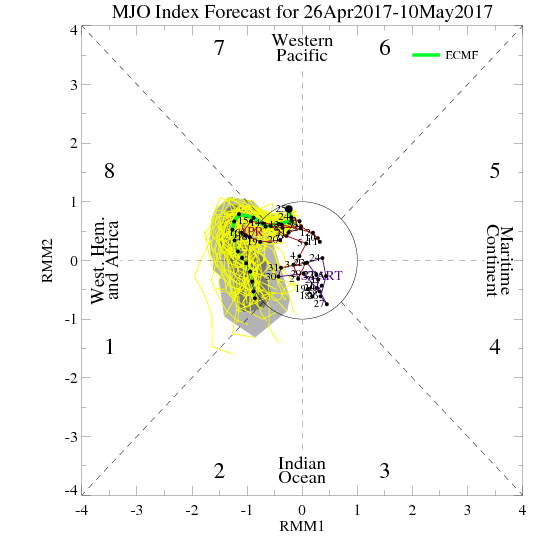
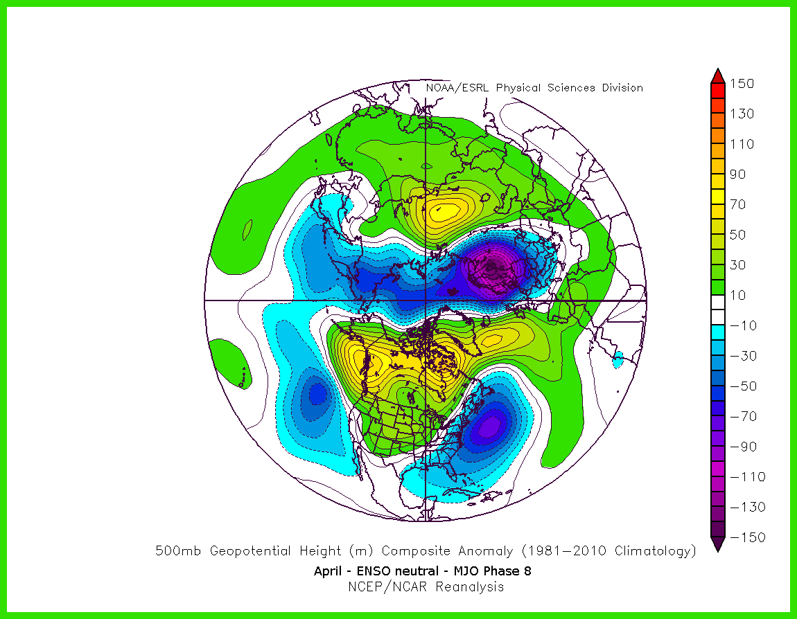
The evolution towards a big blocking pattern is already taking place as the MJO moves towards phase 8. Of course, sometimes oscillations in spring do not have the same correlations as they do during the winter, but the MJO phase 8 in April in an ENSO neutral regime still correlates to a lot of high-latitude blocking.
It is also often easier to get large -NAO blocks this time of year than during the winter because the winter Polar Vortex is much weaker, so it can more easily be disturbed. As we take a look at the ensemble means on model guidance moving forward, the idea of the -NAO block becomes very apparent.

The 18z GEFS from Thursday valid for next Thursday shows a big -NAO block forming near Greenland, helping to set the stage for a major storm (Tropical Tidbits)
The above image is the 18z GEFS valid for next Thursday morning. Notice the big -NAO block on the top-right of the image. That is forcing a large lobe of energy underneath it in the 50/50 position — a classic precursor for a trough to be forced to develop in the Eastern US. This also is helped by a ridge pumping in the West Coast. When this longwave pattern develops, it becomes essentially inevitable based on the laws of physics that a large trough has to develop in the Eastern US and stay there for a relatively long period of time — it’s “blocked” from leaving. This means the pattern can “wait” for strong shortwaves to come down the ridge out west into a ripe pattern for East Coast amplification — it assures favorable timing for amplification. There’s also a ridge in the Atlantic that extends northwest towards SE Canada, which further helps the trough’s amplification along the East Coast and prevents a storm from escaping seaward.

The 00z GFS model valid for Thursday night shows a strong storm system evolving into a Nor’Easter and giving us heavy rain.
Thus, a large storm system climbing the Eastern Seaboard and bringing a prolonged heavy rain event and perhaps evolving into a Nor’Easter is becoming increasingly likely late next week. The video below has more details on the evolution of the blocking and the storm itself.