-2")

5.17 AM Zones Update: Record Heat Possible by Thursday, Cooler Weekend Weather
Happy Wednesday! As we’ve been discussing this week, a strong ridge will be bring very warm, summer-like temperatures over next few days. Today, mostly sunny skies are expected. 850mb temperatures between 16°C to 17°C with light southwest winds, will support temperatures rise into the mid-upper 80s, away from the coast this afternoon. Some typical hotspots like Newark,NJ may reach around 90. Sea-breezes are likely to develop by early this afternoon, along the coast, with only light southwest flow. This will keep much of Long Island, Coastal Connecticut and the New Jersey shore, from rising out the 70s or lower 80s.
Tonight will be warm and more humid with dewpoints rising into mid-upper 60s. Skies will clear to partly cloudy, as some convective debris from the Midwest and Great Lakes moves over the region. Overnight low temperatures will be range form upper 50s to 60s over many of the suburbs. While NYC and other urban areas will likely drop only into the lower to middle 70s. Then tomorrow will feel like mid-summer across the region. It will be partly sunny, hot and more humid for much of the region. 850mb temperatures around 18°C with stronger southwest flow will support highs in the upper 80s to lower 90s, especially away from the south-facing shores. But with a stronger southwest flow, temperatures may rise quickly well into 80s tomorrow, before sea-breezes cool down temperatures along the shore, during the afternoon hours.
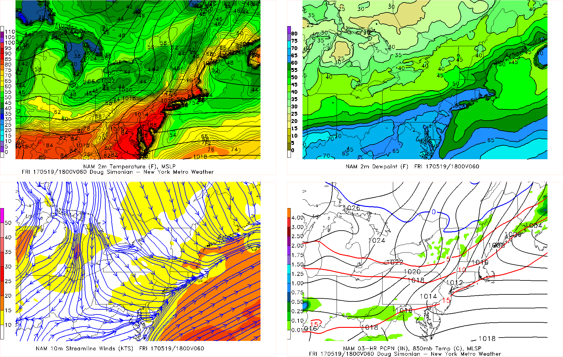
Most record highs below may be just out of reach for today. But are more likely to tied or broken, across the region on Thursday:
Wednesday, Thursday
Central Park, NY 92 (1974), 90 (1936)
LaGuardia Airport,NY 90 (1974), 86 (1989)
JFK Airport,NY 89 (1974), 88 (1977)
Newark, NJ 94 (1974), 90 (1986)
Islip, NY 85 (1974), 89 (1977)
Bridgeport, CT 85 (1974), 84 (1998)

NAM model forecast with temperatures in the lower 90s over parts of the I-95 corriodr Thursday afternoon.
Latest model guidance has continued to slow down the next cold front for the region. So warm and humid conditions will remain into Thursday night with more southwest flow. Overnight lows will be in the 60s or lower 70s. Then temperatures will likely rise into the middle to upper 80s again with more sunshine much of the Friday. Humidity will be decreasing throughout the day with more west-northwesterly downslope flow during the afternoon hours.
Instability will be building over next couple days, with more heat and humidity. There is slight chance that some isolated showers or thunderstorms pop up with a pre-frontal trough late Thursday afternoon or evening. Then a few more isolated showers and thunderstorms are possible again with the cold front passing through region Friday afternoon. But most of the dynamics, such as shear and forcing, will be more associated with shortwave energy, passing well to north, as ridging only slowly. So no organized severe weather or flooding hazards are anticipated. In fact, most if not all of the time will be probably be dry.
Behind the cold front, a cooler maritime airmass will be settle into the region Friday night. Then high pressure building from Southeast Canada, will support cooler but drier conditions for this weekend. A mixture of sunshine and clouds are expected day with high temperatures generally in the upper 60s to lower 70s. Onshore winds could keep some coastal sections a little cooler, perhaps in low to mid 60s each day. Overnight lows will be in the 40s over the Interior and in the 50s closer to the coast. But these temperatures overall will be closer to seasonable levels. So this weekend will feature more pleasant, spring-like weather.

GFS model forecast showing high pressure over Southeast Canada with onshore winds and cooler airmass over the Northeast Saturday afternoon
The next chance of some showers and thunderstorms will come with another cold front associated with a trough approaching from west on Monday. More mid-level riding and southwesterly flow ahead of this front may cause some warmer air to return briefly on Monday. Then a larger trough will be digging into the Eastern US. This will allow for a cooler Canadian airmass to settle into region at least for the middle of next week.
Overall, with more high-latitude blocking and some ridging out West, a more active or unsettled pattern with more significant rainfall chances, will be returning over the next couple weeks to the East. Some pleasant, warmer or drier weather could still return at times, as synoptic features in pattern still shuffle around somewhat. But no prolonged heat is expected. Stay tuned for more zone forecast and other updates through this weekend. More forecast details for Memorial Day Weekend will become clearer as we get closer.