-2")

Cool & Unsettled Saturday, Warming Trend Next Week, Tropics Update
Good morning! Just a quick update on forecast through this weekend, the warm-up for next week and the tropics. First today will be beautiful with plenty of sunshine and lighter winds. After a cool or chilly start in the 40s and 50s, highs will only reach in the upper 60s to lower 70s over much of the Northeast today. These temperatures are actually closer to normal for this of year. But it will feel much cooler and more like early Autumn, compared to the past few days.
Later tonight and Saturday, as a weak area of low pressure and shortwave trough will move through parts of the Northeast.Clouds will gradually increase ahead of this system during the evening and overnight hours. A few scattered showers are possible late tonight and early tomorrow morning, as a weak cold front from this system moves through. Overnight lows will be in the lower 50s over the Interior areas to upper 50s over more urban and coastal areas.
Then a few more scattered showers are possible as low pressure moves into Long Island and Southern New England tomorrow afternoon and early evening. There is even slight chance of few isolated thunderstorms, as instability increases with daytime heating and a southerly flow off 70 degree waters. If these thunderstorms occur, some locally heavy downpours or gusty winds are possible as models show some some low-level of CAPE juxtaposed with some modest shear/helicity. However, no significant hazards or widespread rainfall is anticipated. More clouds mixed with some sunshine will keep temperatures from rising out mid-upper 60s tomorrow. So it will be cool and unsettled. But it won’t be washout.

NAM model showing some SBCAPE and helicity over Southern New England and Long Island vicinity on Saturday
Strong high pressure from Central Canada builds into the Northeast and Mid-Atlantic regions for rest the weekend. Skies will begin clearing later tomorrow night, behind the low and shortwave trough. Temperatures will drop into 40s over Interior and lower to middle 50s over urban and coastal areas again. Then plenty of sunshine is expected again on Sunday. This will help temperatures rise to around 70. Sunday night will be mostly clear with lows again similar to Saturday night. The Pine Barrens over Long Island and New Jersey could also down into 40s, with more radiational cooling Saturday night and Sunday night.
We still expected a strong ridge to build over much of the Central and Eastern US next week, with temperatures moderating. But early the week, surface high pressure will positioned to north and east. This will cause some onshore winds on Monday and Tuesday keep a maritime airmass over parts of New England and Coastal Mid-Atlantic. Then as the ridge and high pressure shifts more to the south, more southwesterly winds should help rise to well above normal levels later next week. Temperatures in the 80s are possible again. No rainfall is expected until perhaps a weak cold frontal boundary from the north, tries to push south late in the week. But the pattern will support drier than normal conditions overall.

GEFS showing the Northeast on the northern periphery of strong ridge further south, later next week
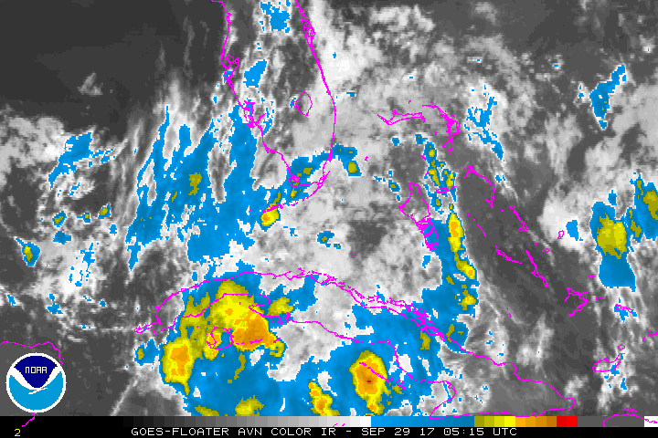
In tropics, we are watching a tropical disturbance south of Florida, which has been labeled Invest 99L. The atmospheric environment is only marginal conducive for a tropical depression or storm to form from this system over next few days. Even if development occurs this system will only likely impact Florida and or areas along the Gulf Coast, as strong ridge will further north, over much of the Eastern US, next week. Model and ensemble indicate lower pressures in the Western Caribbean over the next few weeks, with a couple tropical waves moving through. So this area will be watch for more tropical development over next few weeks. So stay tuned for more updates on forecast for this weekend, the warm-up later next week and tropics, over the next few days.
Trackbacks & Pingbacks
3complications
Comments are closed.