-2")
Pleasant weather in control this weekend
After a weeks worth of unsettled weather, including prolific rains which ended as the 10th wettest day ever at New York City, the upcoming stretch of more pleasant weather will certainly be welcomed with open arms. Despite an elongating upper level low to our north, Friday will be the start of the generally pleasant stretch of weather. Behind a cold front, dry westerly winds will alleviate any precipitation concerns. High temperatures will still be able to rebound into the upper 60s — making for a pleasant day with a mix of clouds and sun.
The upcoming weekend days look to feature a very similar mix of sun and clouds. The upper level energy, elongated and meandering to our north, will allow for the chances of showers and possibly a rumble of thunder during the afternoon on Saturday and Sunday. But these showers and storms won’t be “organized” per se, and will weaken with the loss of daytime heating. High temperatures in the upper 60s to lower 70s will feel refreshingly good, so the showers shouldn’t be too much of a nuisance.
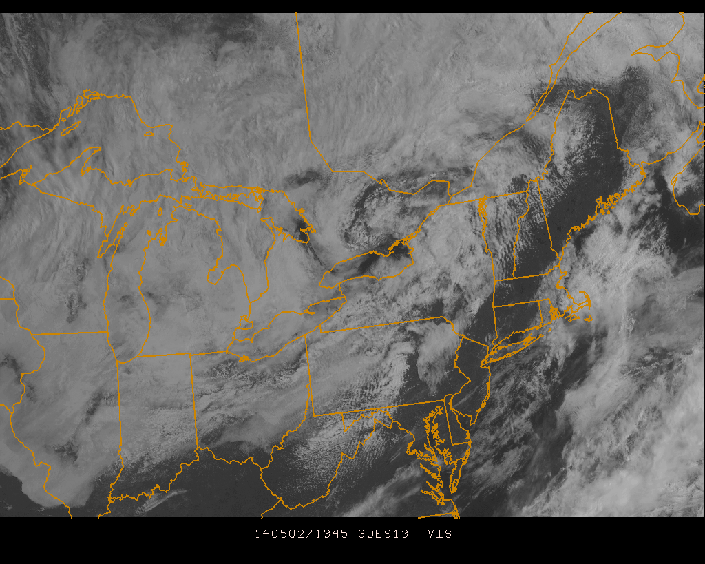
Visible satellite imagery showing partly cloudy skies in the area Friday morning.