-2")
Forecast: Dense fog, warmth before big cold front
Friday Morning Update: Dense fog advisories have been canceled by the National Weather Service (despite the title of our article remaining the same) this morning. Periods of fog are still possible, but won’t be as thick or widespread. Showers are expected to become numerous over the next few hours and rain may become steady to briefly heavy at times. Temperatures will begin to drop throughout the area later this morning in response to an approaching and passing cold front.
The cold front, which will cross on region on Friday, will also bring periods of showers and unsettled weather throughout the day. More importantly, it will mark the end of any semblance of a warm airmass with its passage as temperatures will plummet behind it on Saturday through the second half of the weekend. In fact, rain and showers may end as frozen precipitation on Saturday morning, especially across parts of the interior. Any accumulations are expected to be minimal, but stay tuned for updates as it likely will be a short term/nowcasting type situation.
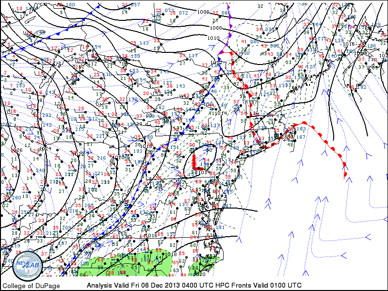
Surface analysis from late Thursday night into Friday morning showed an approaching cold front, with warm conditions still in place throughout the area.
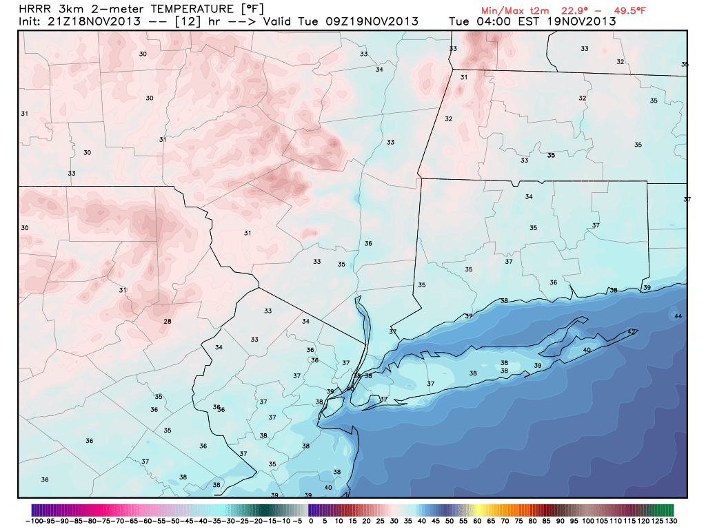
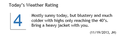 Much colder air filtered into the area late on Monday evening and continued to do so into early Tuesday morning. The change comes on the heels of a major cold front, which pushed through the early on Monday. Temperatures fell into the 30’s overnight — and the temperature drop at the 850mb level was equally as impressive, falling to near – 10 C in northern parts of the area on Tuesday morning. Highs on Tuesday will only scrape into the 40’s, with blustery winds especially early. The combination of the two will make it feel pretty cold, especially after Monday which featured highs in the middle 60’s with a very warm sun.