Posts

Cooler, but still pleasant weather this weekend

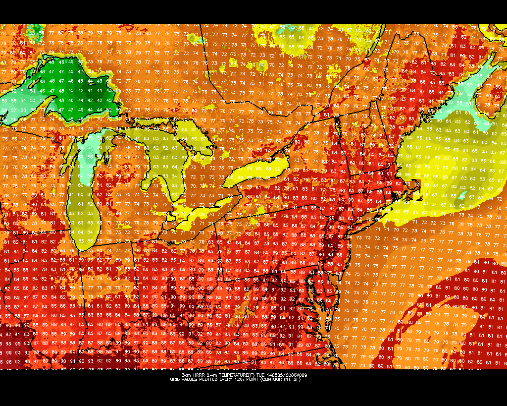
In response to warm southerly winds and a mid level atmospheric ridge, temperatures on Wednesday rose into the 70’s throughout much of the area. Temperatures on Thursday will behave similarly, rising again into the mid 70’s in many areas. Southerly winds will continue and, for the time being, the mid level atmospheric ridge will remain over head. But the pattern — in case you haven’t noticed, with below freezing temperatures on Monday — is transient, and the warm temperatures will be scoured out by a cold front by Friday.

Not all is lost, however. After a few showers late Thursday into Friday morning, cooler air in the mid levels of the atmosphere will move overhead, and the wind direction at the surface will turn more west/northwesterly. But pleasant conditions are expected to continue. High temperatures will be notably cooler on Friday than they were on Thursday, but the weather will remain pleasant — a trade off that most of us will surely take, this time of year.

Read more

Clearing behind front, pleasant Tuesday

After elevated thunderstorms brought a prolonged period of rain, lightning and thunder late Monday Night into early Tuesday morning, clearing is expected from west to east by later Tuesday morning. Drier air will surge toward the coast as an upper level system shifts eastward, and the weather will become much more pleasant. Highs in the 60’s are expected as warm mid level temperatures stick around during the early afternoon hours.

The weather on Tuesday afternoon will likely be the nicest of the week, unfortunately. An active and persistent weather pattern is forecast to continue. Making matters worse? High latitude blocking will force an upper level trough underneath it, into Eastern Canada, bringing colder than normal air to much of the Northern 1/3 of the United States. On Wednesday afternoon, a secondary cold front will cross the area — again with potential thunderstorms — and usher in a much cooler airmass.

Read more

Forecast: Clearing, cooler behind cold front

A warm, humid airmass surged into the region late on Wednesday ahead of a cold front. As expected, low level moisture moving north aided in the development of heavy rain overnight as lift for precipitation moved through our area. Rainfall totals were moderately high in many locations, but we were able to avoid widespread flooding due to the relatively progressive nature of the system. As the mid level disturbance moved northeastward, drier air moved through  much of New Jersey and toward New York City this morning bringing an end to the steady rain.

On the periphery of this mid level disturbance is a cold front, which will push through the remainder of the area this morning after some additional rains fall on Long Island and Connecticut. Gone will be the southerly winds, and making a return will be drier, westerly winds this afternoon. Mid level temperatures, meanwhile, won’t exactly fall off the table until later tonight. So high temperatures today will still reach into the 70’s.

Read more

Unsettled, cooler than normal weather to continue

In a summer that seems to never want to fully arrive, cooler than normal weather will continue during the majority of the upcoming work week. Tuesday looks to be the warmest of the next few days, as southerly winds pump in a warmer and more humid airmass. Temperatures will respond, with highs reaching the mid to upper 80’s in most locations away from the beaches. But an approaching front will signal the end of this warm weather (what else is new this summer) with showers and storms during the afternoon hours on both Tuesday and Wednesday.

The tail end of the work week looks to feature cooler than normal temperatures once again, behind the aforementioned front, with west-northwesterly surface winds keeping humidity down. Weather that resembles late summer and early autumn will be more common in the next several days than the typical hot, humid weather of early August. The saving grace, in the cooler than normal temperatures, is the fact that the weather will remain relatively dry and won’t feature any significant precipitation events.

HRRR model showing highs in the upper 80's on Tuesday.

HRRR model showing highs in the upper 80’s on Tuesday.

Read more