-2")
PM Update: Cooler behind front, pleasant Halloween
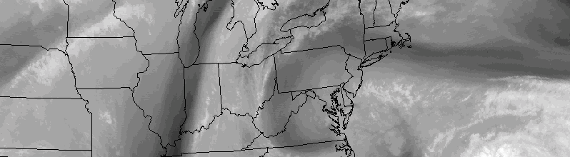
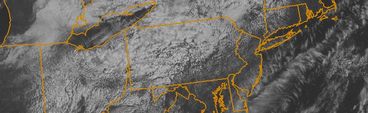
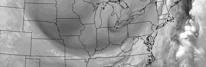
Warm and moist air, which settled into the region on Wednesday Night, has been scoured out thanks to a cold frontal passage on Thursday afternoon. Sunny and warm conditions prevailed, thanks to lingering warm air near the surface, but temperatures in both the mid and low levels of the atmosphere will cool further overnight. Westerly winds took over for the southerly winds which had dominated beforehand, and will help to usher in the cooler airmass.
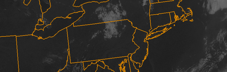
This trend will continue through Friday, with cooler air arriving throughout the Northeast United States. Highs will be several degrees colder than they were on Thursday. The air will feel crisp and, well, Autumn-like, with high temperatures topping out in the mid to upper 50’s with a westerly wind component.