Posts

Transitional weather will continue this weekend

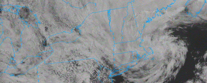
Meteorological summer began today, and it did so without much fanfare. An unsettled and transitional weather pattern, which has existed throughout the Northeast states over the past few days, has remained stout and looks to continue to do so into the first and possibly second week of June. In the short term, this means continually unsettled weather with temperatures averaging near or slightly below average for this time of year.

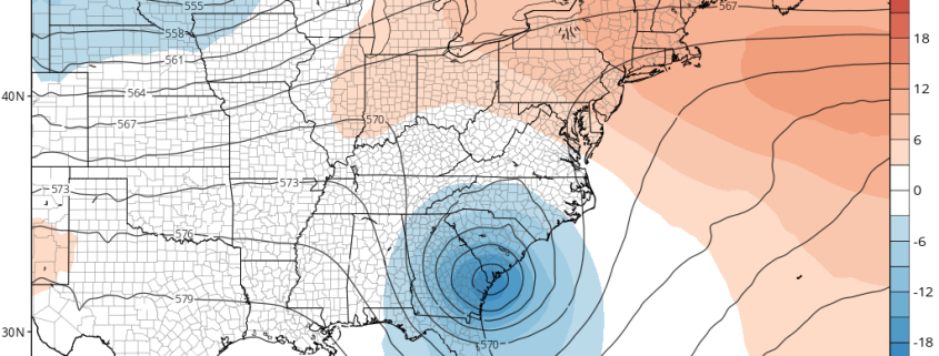
Showers and thunderstorms were a common theme over the past few days, with one day in particular featuring severe thunderstorms and an EF-1 tornado in Dutchess county. But colder air aloft is now settling into the Northeast states, in response to an upper level low which will meander in our region over the next few days. This has, in addition to the unsettled weather, been a common theme since May — high latitude ridging is forcing these upper level lows southward and into Southeast Canada and the Northeast.

Read more

5.26 Late-AM Zones Update: Some Unsettled Weather for Memorial Day Weekend

Happy Friday! Low pressure that brought more rain with some thunderstorms overnight, is now moving east of New England late this morning. Clouds and showers are clearing, with drier, downsloping northwest winds, behind this system. This will support temperatures to rise into the lower to middle 70s across much the region. However, with daytime heating the atmosphere will become more unstable under a cold-pool aloft. So a few scattered showers and thunderstorms could pop up across the region this afternoon and early evening.

Read more

Late AM Zones Update: Isolated Showers This Afternoon, Potential Cut-off Low Early Next Week

Happy Friday! Some unsettled weather continues today. Showers have been around the region overnight and early this morning, as a warm front tries to lift further into NYC and Northern NJ. However, this warm front will remain further south, as more moist marine influence remains over the region. This will cause mostly cloudy skies, cool and damp conditions to remain this afternoon, for much of the region. Some areas of patchy fog and drizzle is also possible.

Read more

All Zones Late-AM Update: Cooler Today, More Showers Likely Thursday Night into Friday

Happy Wednesday! It will remain dry during the day today. But high pressure off the New England coast, will cause more southeast winds and allow for more clouds than sunshine over the region today. As a result, temperatures will be cooler than they were on Tuesday. Highs this afternoon will be in the 50s over most of the region. Some areas may, especially near the coast may struggle to get out 40s. Some inland areas could sneak up into low 60s with enough breaks of sunshine.

Read more