-2")
Evening Zones Update: Showers Wednesday, Cooler End of Week, T-Storms Easter Sunday?
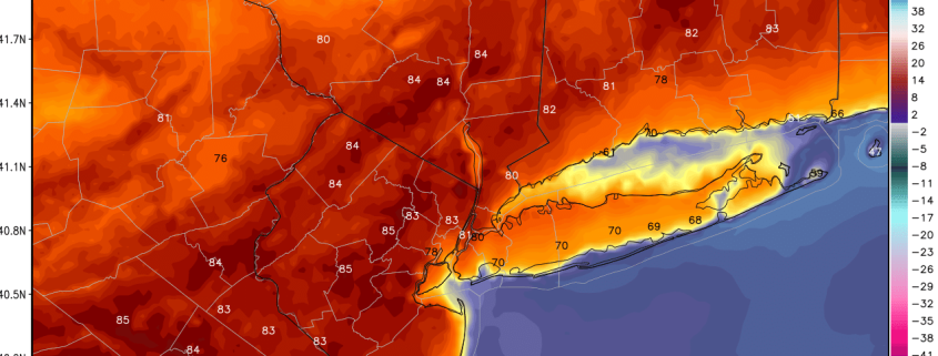
Good evening, everyone! Another lovely day was had today thanks to even more southwest flow than on Monday. High temperatures reached the mid 80s across much of the state of New Jersey! Areas further east were generally a bit cooler due to micro-scale breezes and large-scale synoptic southerly and southwesterly winds having more of a cooler, marine component for areas further east. EWR and TEB actually saw a bay-breeze as winds shifted SE off the Bay and cooled temperatures off in parts of Urban E NJ. Regardless, though, Newark still managed to reach a high of 82 degrees and NYC had a high of 80 degrees. JFK, however only had a high of 66 degrees and most of Long Island was generally in the upper 60s to around 70 degrees.
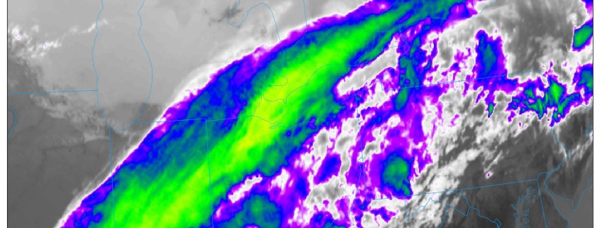
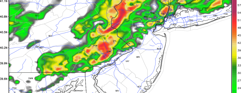
Dewpoints have already risen into the upper 40s to low to mid 50s in some spots thanks to the southwest flow. When combined with an increase in high clouds out ahead of some storms in Central PA associated with a pre-frontal trough ahead of a cold front, should lead to low temperatures holding in the 50s to even around 60 or higher in the warmer urban locations.