Posts

Tuesday Overview: Nice Today, Showers/T-storms Possible by Wednesday night

Today is shaping up to be beautiful day with plenty of sunshine for most of the region. Temperatures this afternoon will warm into the middle 80s with humidity remaining comfortable. Some sea-breezes later this afternoon may keep areas near the shore a little cooler. Tonight, humidity will start to increase with light winds becoming more southeasterly. Clouds will also increase later tonight, which will keep temperatures from dropping as much as last night.

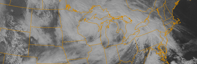
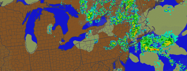
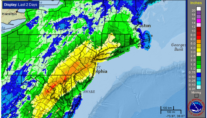
More southwest flow tomorrow, will cause humidity to increase. More clouds will be likely be around tomorrow, with a cold front and upper-level trough approaching from the west. If there is still enough sunshine, temperatures will likely reach the upper 80s to around 90, away from the shore.  Some isolated or widely scattered showers and thunderstorms are possible during the afternoon or evening. But are more likely later tomorrow night and into Thursday morning, with more tropical moisture coming northward along the front. Some heavy downpours are possible. Clearing will begin taking later Thursday afternoon as front moves east of region. Some other highlights for next several days.

Read more

Showers, thunderstorms likely through Thursday

These days, Spring’s impacts are fleeting at best. This week won’t be much different, as Spring will make a one day appearance on Thursday and  disappear for several more days thereafter. Nevertheless, the impacts over the next 24 to 48 hours will be noteworthy when it comes to our sensible weather. A warm front approaching the area will be first signaled this afternoon by steady showers, which will continue on and off through the evening. Temperatures will rise into the 40’s as winds turn southerly from the late afternoon into the overnight period.

A low pressure system developing from the Ohio Valley into the Northern Mid Atlantic will aid in the continuation of the aforementioned southerly flow on Thursday. The approaching warm front will continue the chance of showers, with clouds and fog likely in the morning hours. Temperatures, however, will rebound into the 50’s during the day. The warm front will also be home to a tremendous thermal gradient, which will shift northward through New Jersey toward New York City on Thursday.

Read more

Unsettled weather continues with more storms Friday

In the wake of a severe weather event which produced multiple reports of large hail in New Jersey and New York on Thursday, showers and thunderstorms are once again expected on Friday afternoon. The culprit is a developing upper level system, which will meander near the area (and the entire Northeast US) through this weekend.  Although the storms on Friday won’t be severe (we’re lacking many ingredients including moderate to strong instability and wind shear), they could still bring periods of heavy rain and thunder.

To start, however, Friday will be characterized mostly by low clouds and fog. Drizzle should continue into the late morning hours with the marine air entrenched in the region. But as it begins to burn off in the early afternoon, some peaks of sun are expected to filter in and out of the clouds, and daytime heating will help to trigger some storms within an environment favorable for shower and non-severe storm development. “Self-destructive sunshine” is a term used by meteorologists for days like this — the appearance of the sun just fuels additional showers and storms.

Read more

Flooding rains give way to storms, warmer air

Widespread flooding rains occurred on Wednesday as a significant plume of tropical moisture surged northward along a frontal zone, which was draped near the area. Heavy rain “trained” northeastward from the Mid-Atlantic states towards New Jersey, New York City and parts of Southern New England. Rainfall amounts over 4″ were widespread, especially in parts of Central and Northeastern New Jersey. The result of prolonged heavy rain was widespread river, creek and poor drainage flooding which resulted in some property damage and a significant amount of road closures.

The rainfall, in fact, was as prolific as it seemed. The 4.97″ which fell at New York City’s Central Park was the 10th highest daily rainfall total in the reporting stations history, and the 2nd highest during the month of April. The 7.85″ which fell during the month of April made it the 6th wettest April in the reporting stations history.

24 Hour radar estimated rainfall totals, courtesy of the National Weather Service.

24 Hour radar estimated rainfall totals, courtesy of the National Weather Service.

Read more