Good afternoon and Happy Friday!
Today has been yest another hot and relatively muggy day in a strong of abnormally warm, summer-like heat. This heats time is very limited as a cold front is set to move through the region, leaving much cooler and stable conditions for the upcoming weekend. As discussed over the past week or so, high-latitude blocking over Greenland and Atlantic Canada will set the stage for a large upper level trough to set up over the eastern two-thirds of the country. This trough will likely bring a few shots at some heavy precipitation, potentially lasting through much of the work week as we draw closer to the Holiday Weekend!
——
Today and This Evening
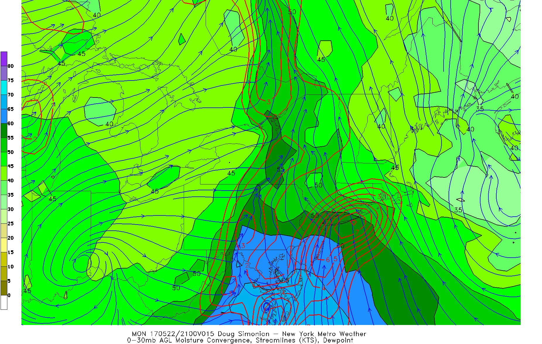
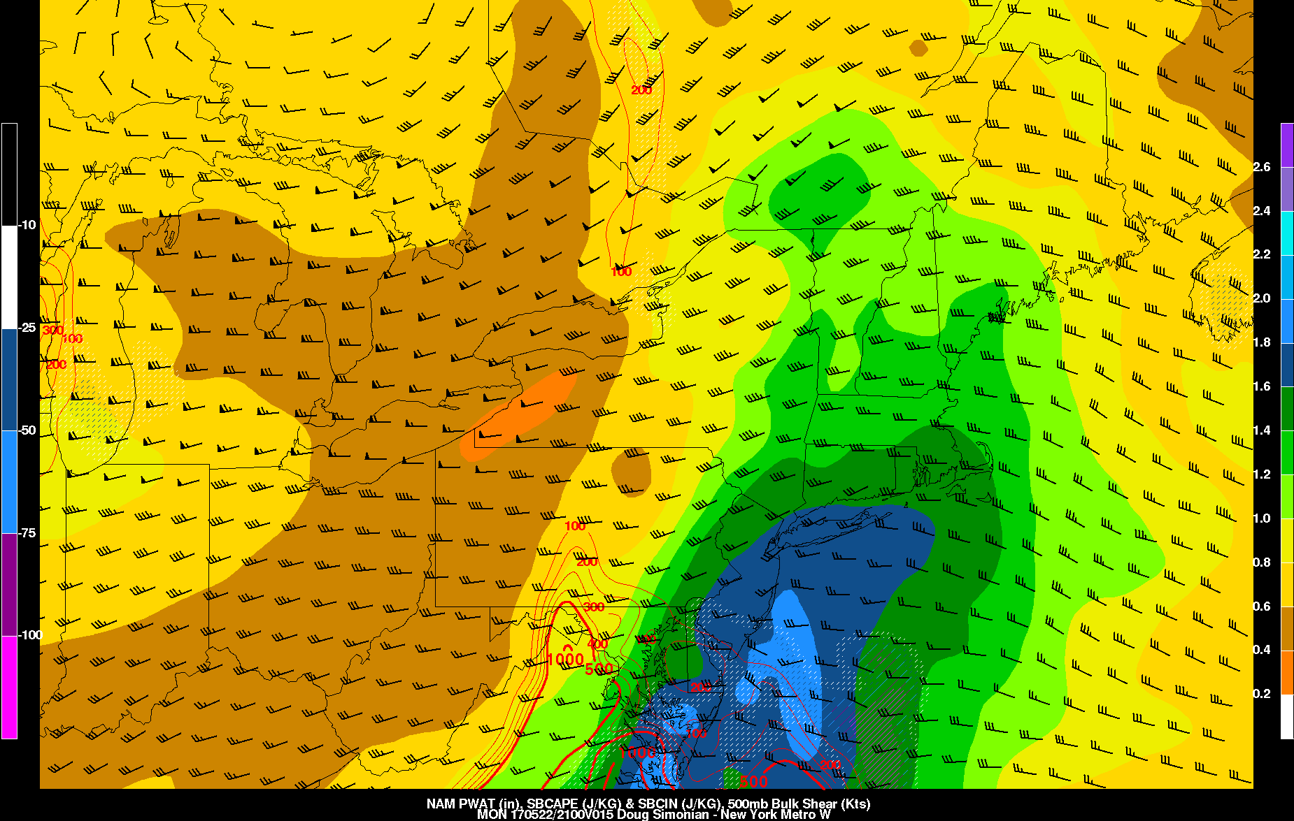
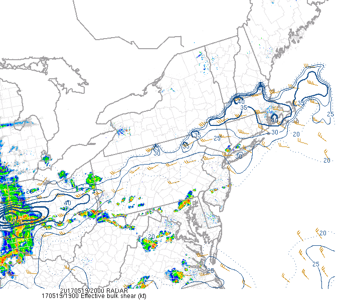
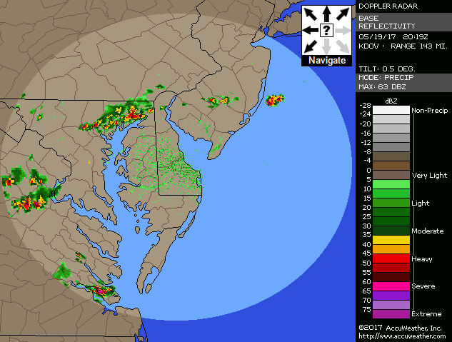
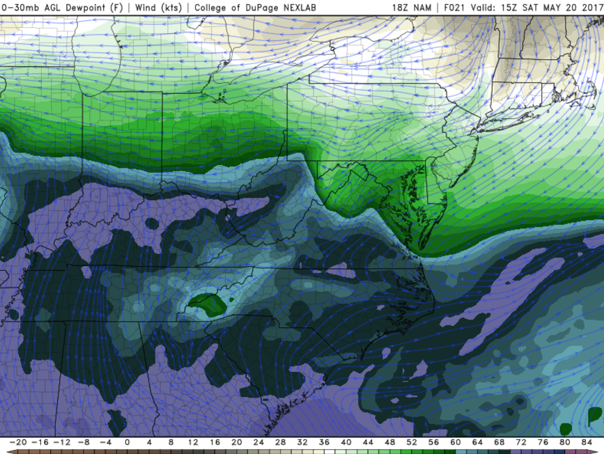
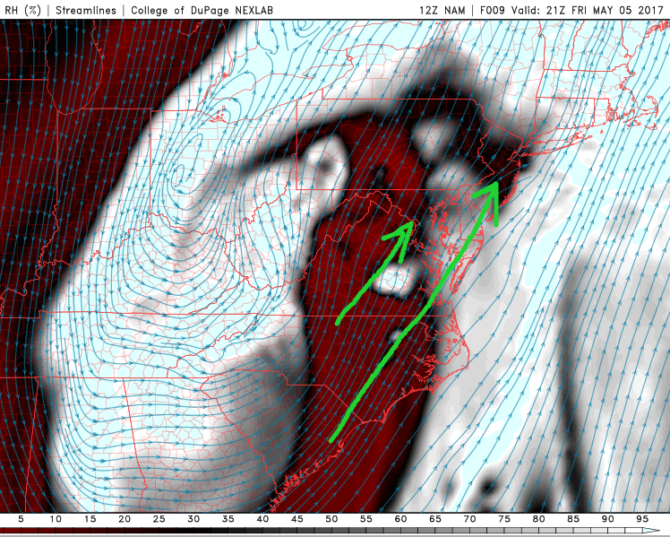
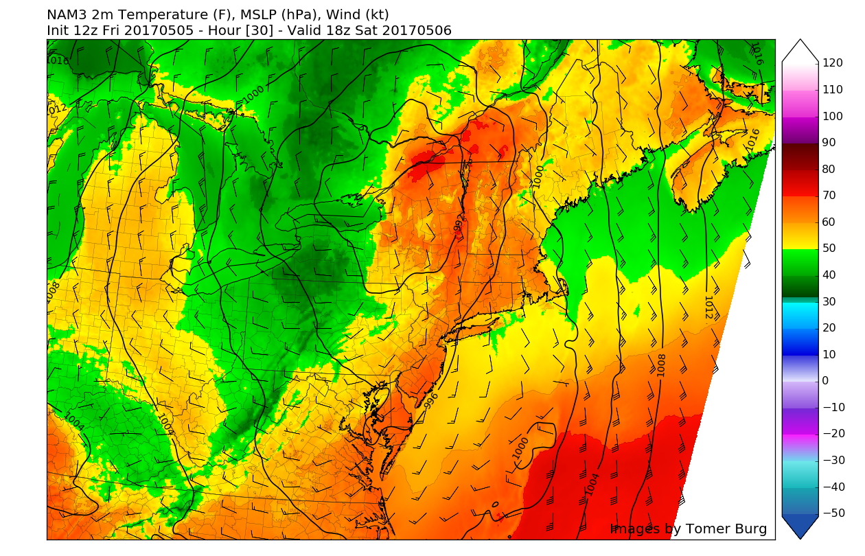
This afternoon we saw temperatures shoot back up into the upper 80’s and lows 90’s across the entire region, with some stations like La Guardia Airport and Caldwell, New Jersey seeing highs shoot into the mid 90’s (95F)! Despite the clear skies and slight breeze today has also felt relatively muggy as dew-points rose into the lower to mid 60’s. This muggy air-mass has also allowed instability to build over much of the Mid-Atlantic and Northeast states, and combined with some modest wind-shear, has allowed some very isolated showers and thunderstorms to develop across portions of New Jersey and Southeastern Pennsylvania. Due to the fact that the best instability and wind-shear are disjointed from each other, the prospects of widespread, organized thunderstorms is quite low. However, very isolated showers and thunderstorms will be possible, especially over southern New Jersey and Southeastern Pennsylvania. The main threat from these showers and storms will be gusty winds of around 40-50 mph, however small hail and frequent lightning may be possible with some of the stronger storms.
As we head into this evening, a cold front located over southern New England and central New York state will continue to sag south and overspread the region late tonight and into very early tomorrow morning. The flow behind the front will begin to change from very warm southerly winds, to much cooler northerly winds from Canada. These will bring lows down into the 50’s for much of the area, which will be quite the departure from what we have seen over the past few days.
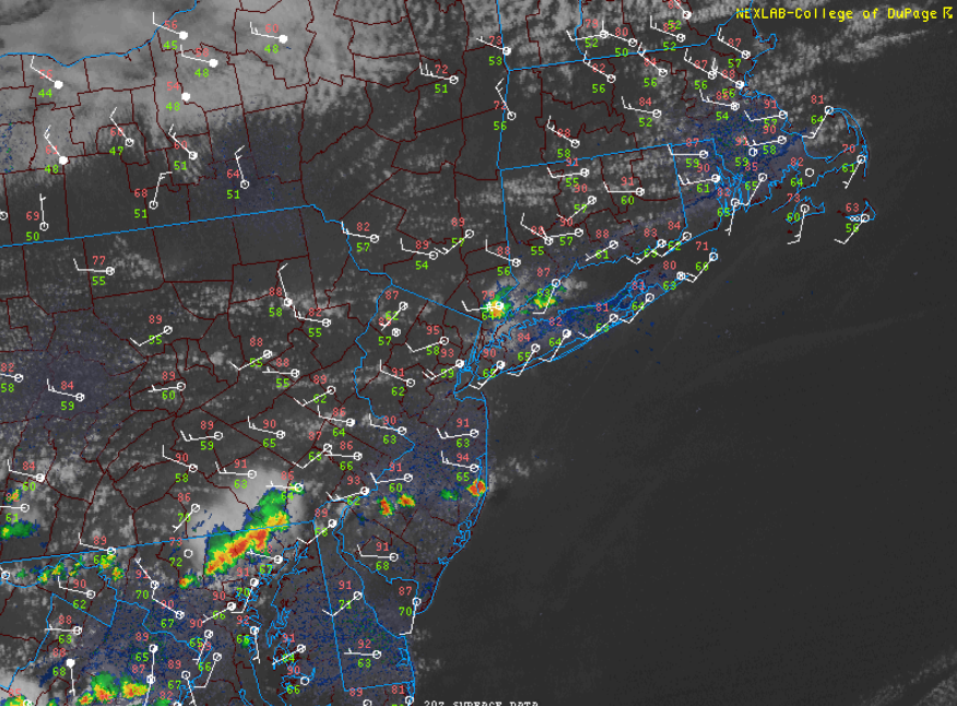
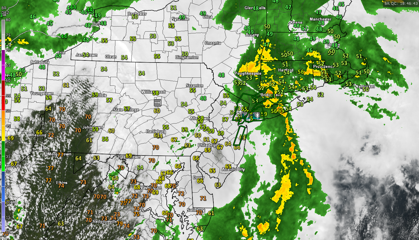
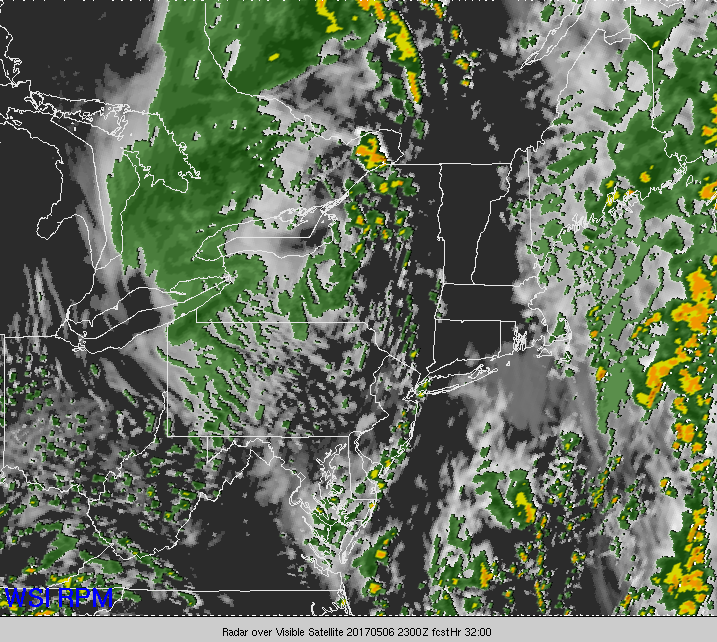
Latest visible satellite imagery, station observations, and regional radar mosaic over the area, showing yet another warm and muggy afternoon. (Courtesy of College of DuPage)
This Weekend
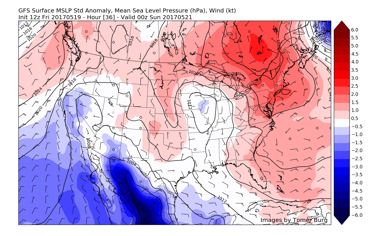
As we start up the weekend tomorrow morning, we should see some relatively cloudy skies behind the cold front as an area of mid-level moisture works in over cool easterly winds coming off of the Atlantic which should produce areas of overcast and scattered clouds throughout most of the day. Temperatures should be relatively cool with highs in the upper 60’s to lower 70’s, which will be 20-25 degrees cooler than the past three days for much of the area. In addition to these cooler conditions, the Canadian/Maritime airmass will limit any chance for measurable precipitation throughout the day. As we head into tomorrow evening, an area of high pressure will be moving to our north and will work to reinforce the maritime airmass over our area. This will allow temperatures to drop into the upper 40’s and lower 50’s across much of the area, with partly cloudy conditions remaining.
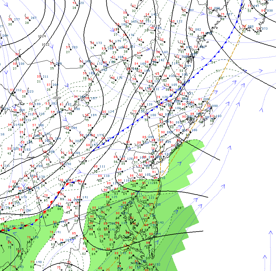
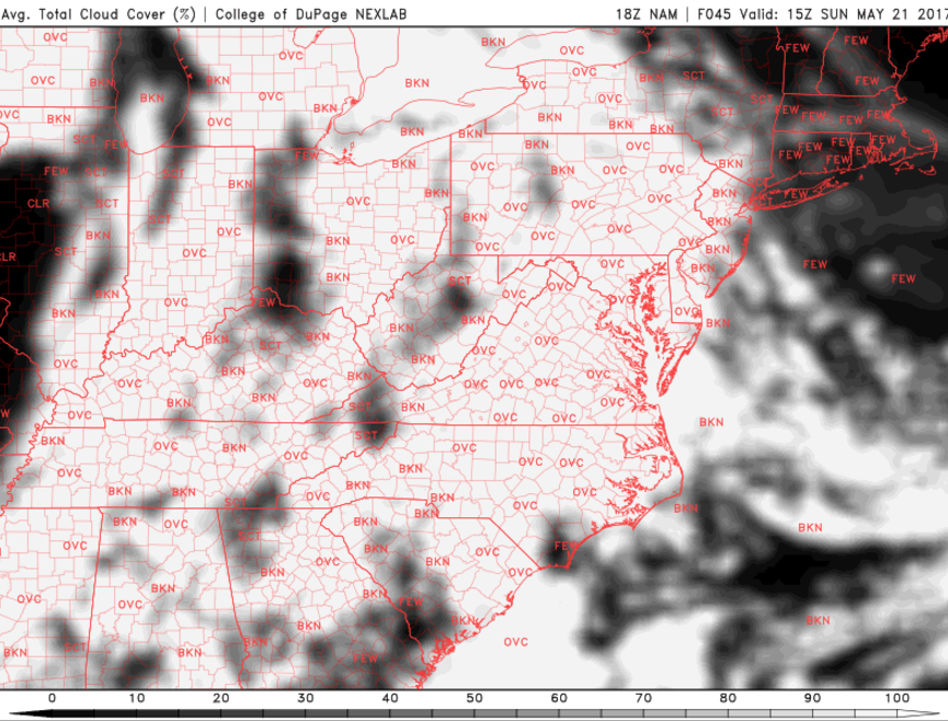
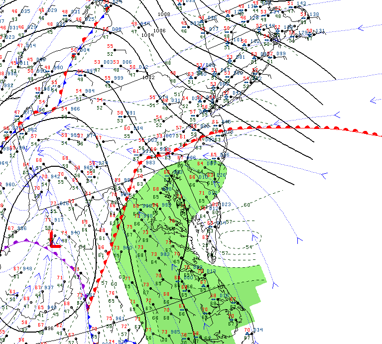
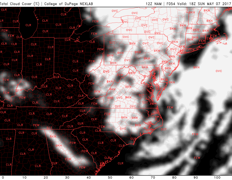
We should see more clouds on Sunday as the continued maritime airmass and weak mid-level moisture hold over the area. Temperatures should be in the upper 60 to lower 70 range once again, but these highs should be quite variable as any areas that see prolonged peaks of sun may raise above the lower 70’s, while areas closer to the coast that may see prolonged cloudiness and southeasterly winds could wind up staying in the middle 60’s. Moisture will begin to increase later Sunday as the area of high pressure begins to shift off of the New England coast and as an area of low pressure moves through the Great Lakes region. This area of low pressure will drive a warm front through the Mid-Atlantic region, just south of our area. As time progresses, cloudiness will be on the rise and will likely become overcast towards the end of the evening as winds shift from easterly, to southerly once again. This afternoons model guidance was not in agreement on the exact timing, but the aforementioned cold front will likely not be able to progress east enough to produce widespread showers by Sunday evening. Overnight lows should remain quite moderate, with temperatures likely staying in the low 60’s to upper 50’s for most of the area.
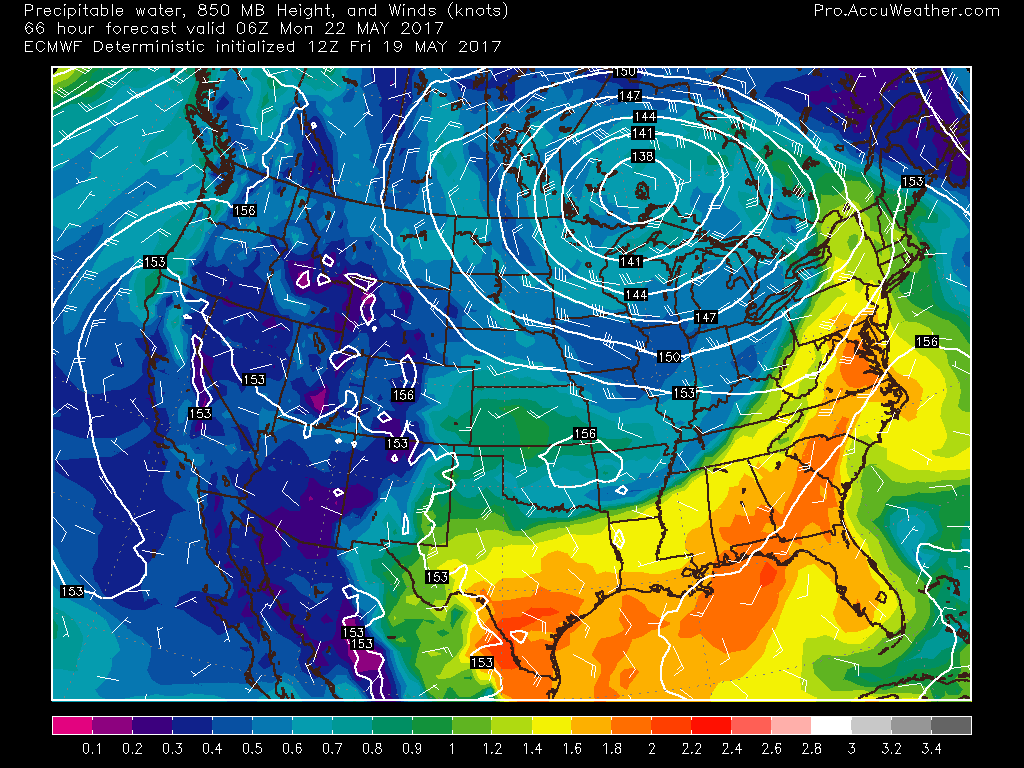
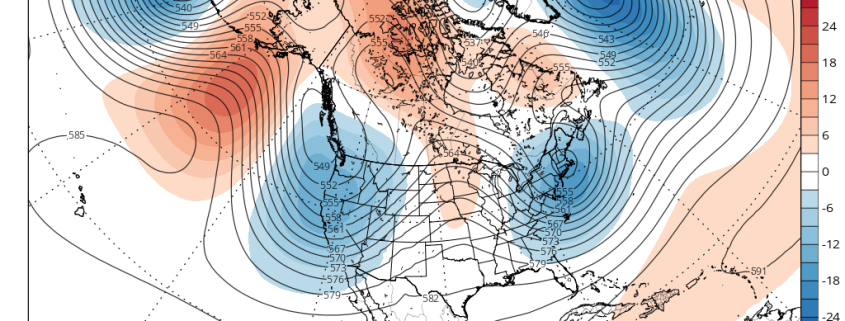
This afternoons European model showing moisture beginning to build to the south of the region as a cold front associated with an area of low pressure in the Great Lakes begins to trudge eastward (Courtesy of AccuweatherPro)
Next Week
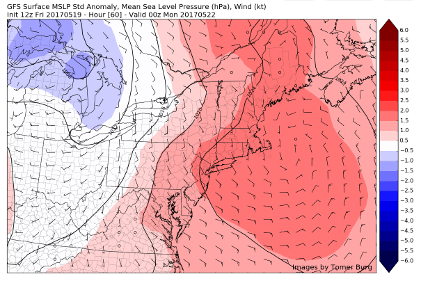
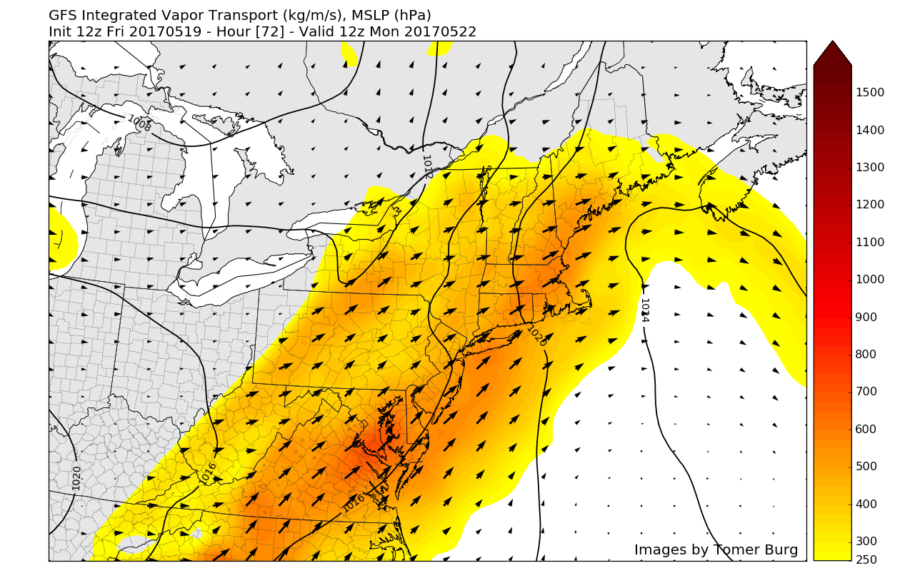
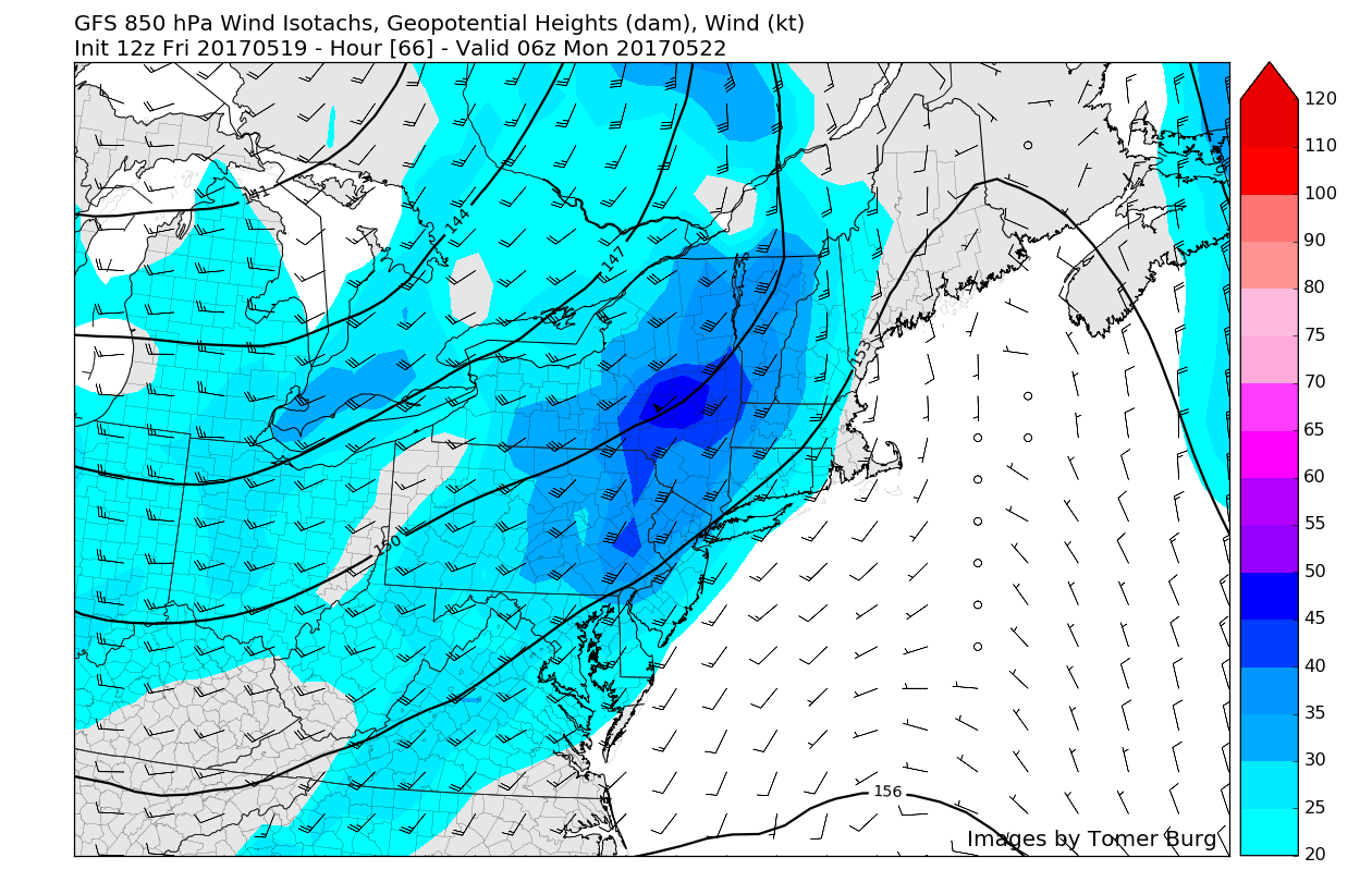
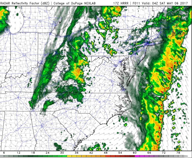
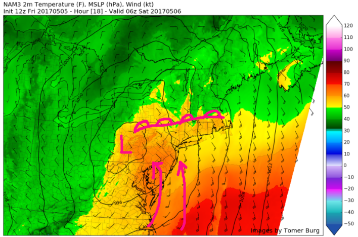
This afternoons model guidance did differ on the exact timing and placement of the cold front by Monday morning, but indications are that it should be located over eastern Pennsylvania by the morning commute. With moisture surging up to the east of the front, substantial cloudiness is likely to be present over the region, but depending on just where the warm front is located, some isolated peaks of sun will be possible. High temperatures on Monday will be very dependent on where the warm front is located as this will dictate where partial sunshine will be possible. By late morning, the actual cold front will likely move through the region and will likely have the potential to bring some showers and thunderstorms over the region. A strong southerly jet will continue to feed moisture north over the area for six hours or so and there will be the potential for some heavy rainfall with training storms. Although it doesn’t seem overwhelmingly likely, there may be the potential for some localized flooding, so make sure to stay tuned for further updates!
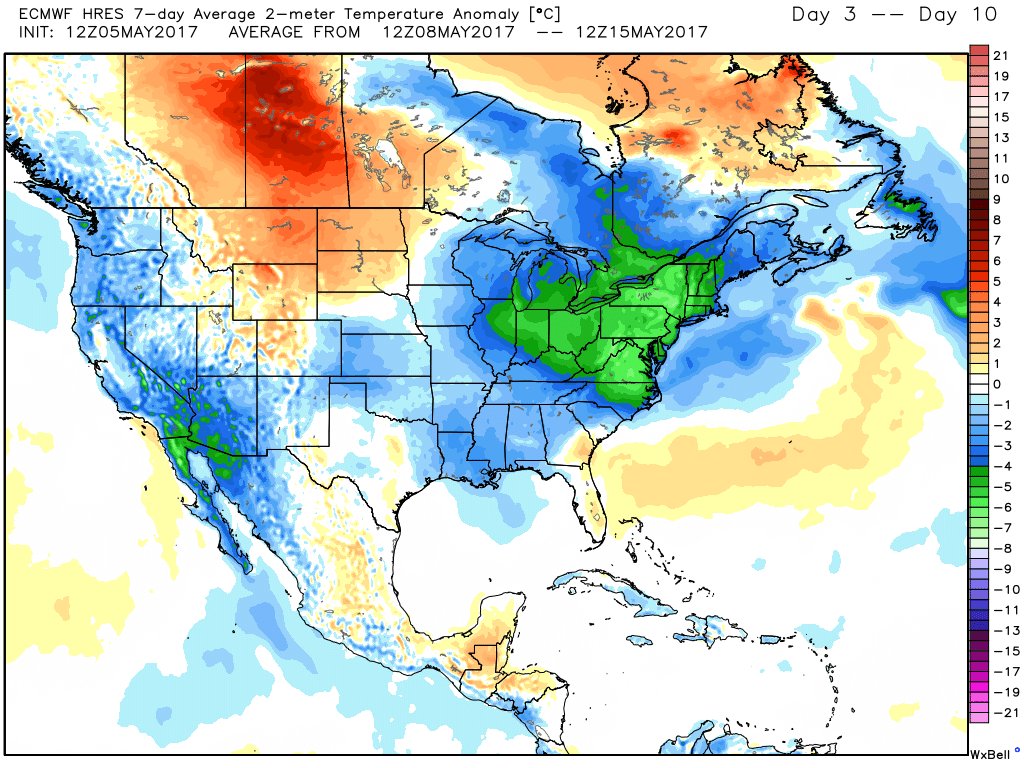
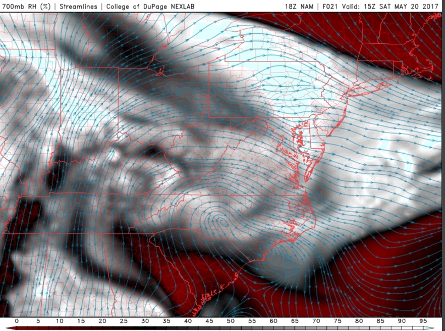
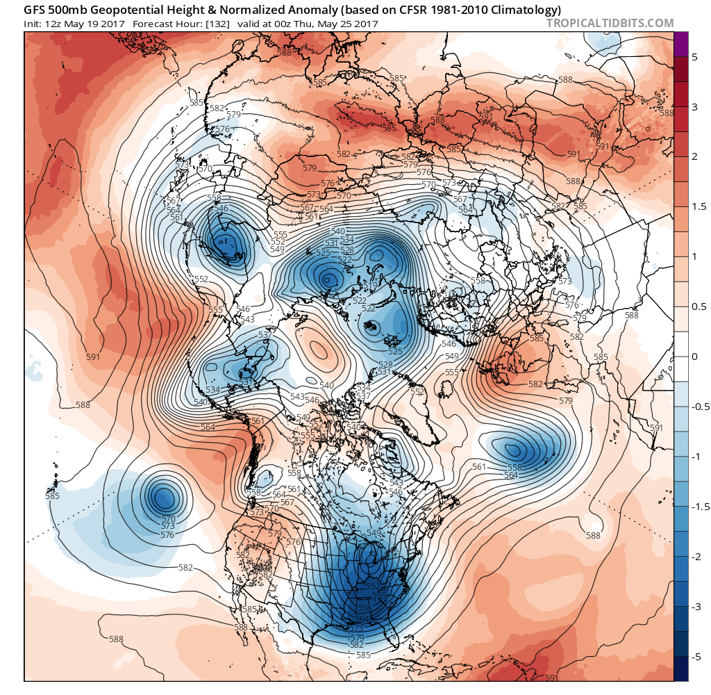
Tuesday will likely be a calm and cooler day as another storm begins to gather to our south with more possible moderate to heavy rainfall for the area on Wednesday. This will continue to be the theme for the week as a large upper level trough will be cemented over the central and eastern states due to another period of prolonged high latitude blocking that will allow multiple systems to slow down and congeal together to our south. While it is possible that this trough produces multiple rain threats over the next week, there is also the potential that we return to another period of below-normal temperatures coming down from Canada. Though it’s around ten days out as of today, there are some indications that this period of cooler and unsettled weather may last into the Memorial Day weekend. Stay tuned for the numerous upcoming rain threat as well as details on the upcoming Holiday Weekend!

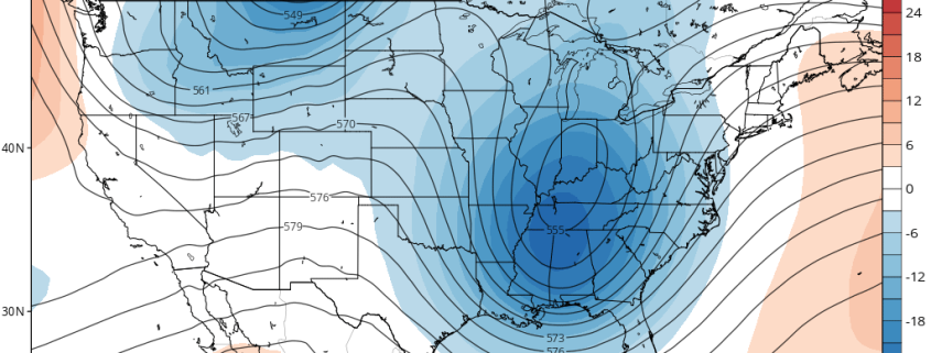
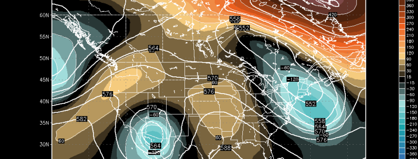
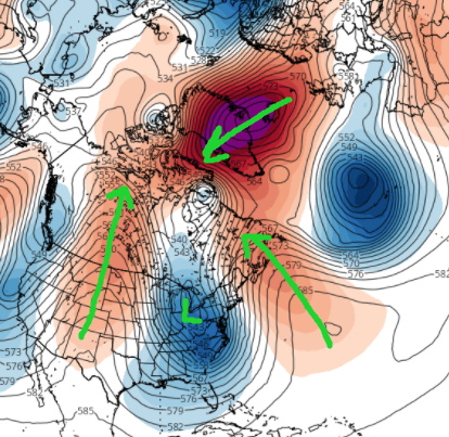
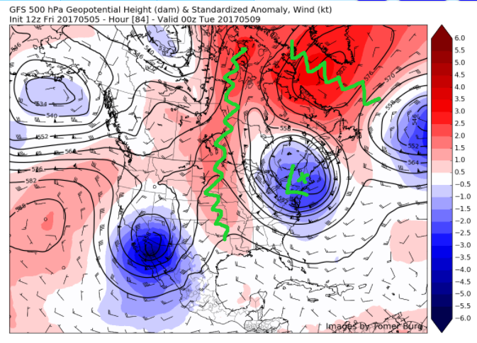
This afternoons European model showing a very large and very anomalous upper level trough parked over the Ohio Valley and Eastern US that has the potential to bring multiple shots at heavy rain and below-normal temperatures (Courtesy of Accuweather Pro)
or more information and posts like this one, make sure you sign up for Zone Forecasts — where multiple detailed articles, videos, and interactives are posted each day. Also, come interact with our staff and many other weather enthusiasts at 33andrain.com!
Have a great weekend!
Steve Copertino
-2")