-2")
1/25 AM All Zones: Transitional pattern will continue
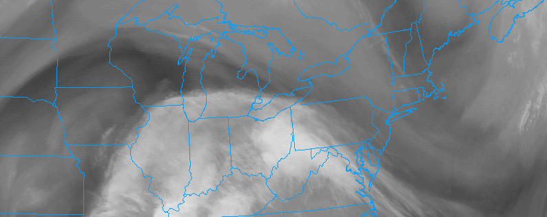
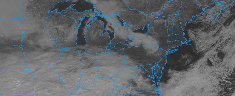
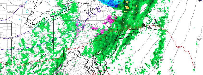
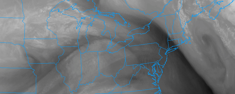
A large Nor’Easter which impacted the area over the past few days has finally begun to pull northeastward this morning, bringing moisture and associated unsettled weather with it. This comes as welcomed news to many after nearly three days of unsettled weather including rain, wind, wintry precipitation and coastal flooding. Improved weather is expected today as skies clear and the sun shows its face once again.
Temperatures are likely to average several degrees above normal this afternoon. Despite northwest winds in the storms wake, a modified airmass with Pacific air still exists across both the United States and parts of Canada. So the air being transported into the region is still warmer than normal in nature and not of arctic origin. Temperatures this afternoon will rise into the upper 40’s throughout the area, and possibly even the lower 50’s in some spots.