Posts

Clearing out late Sunday, cooler to start the week

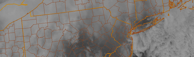
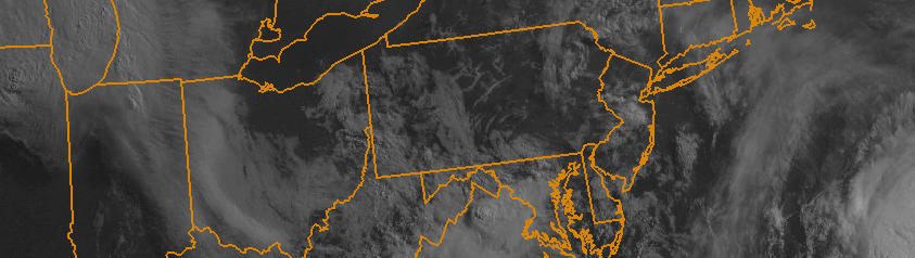
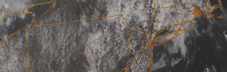
Showers, clouds, and dreary conditions were widespread on Sunday morning as a cold front and associated moisture slowly made its way through the forecast area. The moisture and atmospheric forcing for precipitation will shift east of the area by early this afternoon, and as it does so, drier air will begin to filter into the area. This will help skies clear out during the afternoon hours. Mid level atmospheric temperatures will also still remain “warm”, with the coldest air lagging behind the cold fronts precipitation from this morning. So high temperatures on Sunday afternoon may actually be quite pleasant.

Colder air will begin to filter in to the area by Sunday Night into Monday morning, as mid and upper level atmospheric temperatures drop as well. With northerly winds taking over on Monday, high temperatures will struggle into the middle 50’s during the afternoon hours. It will feel quite brisk compared to the past few days, even with abundant sunshine expected. While the cooler temperatures are expected to continue through the early part of the work week, some moderation in temperatures is expected by Tuesday and Wednesday.

Read more

A few showers tonight, cooler weather will follow

High clouds are streaming into the area this afternoon ahead of a low pressure system, which is located well to the west-northwest of our area. The associated cold front, however, will sweep through the Northeast States later tonight into early Sunday. After a generally pleasant Saturday, a period of unsettled weather is likely from Saturday Night into early Sunday morning, with moisture pooling along the cold front and aiding in the development of showers throughout the area.

This front will eventually swing east of the area by later on Sunday morning. Behind it, another shot of cooler air will make its way through the Northeast states. Mid level temperatures will drop by several degrees, and northwest winds will begin in earnest. But this won’t occur fully until later on Sunday evening — and so despite the cooling occurring in the mid levels of the atmosphere, high temperatures will end up being quite pleasant. After the showers on Sunday morning, in fact, temperatures will reach into the mid 60’s with abundant sunshine.

Read more

Morning Roundup: Changeable weather returns

The weekend hangover is real. Monday morning brings change to a weekend which featured a stretch of incredible summer weather. Highs topped out in the mid to upper 80’s each day, with an offshore flow and only some high clouds at times. The sun was shining for the majority of the time — with Saturday and Sunday both turning out to be winners. Monday, still, will remain generally pleasant. A few showers and storms may pop up late, but we aren’t expecting any threat for organized storms. The same can’t be said for the middle of the week, beginning on Tuesday. A deepening trough in the mid levels of the atmosphere will bring more moisture, the return of an onshore flow with clouds, and chances for showers and storms for the next few days. Some highlights from around the meteorological community are included below:

  • Pleasant and warm conditions will continue today, especially during the first half of the day. Highs in the 80’s are expected again and, initially, offshore winds will keep the weather pleasant. During the second half of the day, increasing clouds will be a harbinger of unsettled weather — with showers and storms possible.
  • A severe weather outbreak is possible today across the Central Mississippi Valley. A very impressive complex of thunderstorms broke out overnight with widespread severe winds, and moved through Chicago this morning. The storms will drop southeast and strengthen again today. These are forming along the northern edge of a heat ridge over the Central Plains.
  • An onshore flow will develop Monday Night with a changing wind direction. Increased moisture and cloud cover will move inland from the area waters. Temperatures, as a result, will be a bit cooler during the middle part of this week.
  • A coastal system may develop during the middle part of the week as a deepening trough moves into the Northeast US. Showers, clouds and storms will remain possible until the system departs later in the week.

Afternoon roundup: More humid, still unsettled

Rounds of clouds associated with increasing low level moisture surged into the area today, and they have broken up in coverage a bit this afternoon as daytime heating has increased. This daytime heating is, however, a bit of a blessing in disguise. Increasing atmospheric instability as a result of more sunshine will help to touch off additional storms this afternoon within a very moist environment. These showers and storms aren’t expected to be severe, but they could bring a period of unsettled weather to parts of New Jersey and New York City. These storms will eventually slip east/northeast of our area tonight, with some clearing expected. The unsettled weather will continue as a frontal boundary approaches the area Wednesday morning. Here’s a roundup of news and information from the meteorological community today:

  • Unsettled weather will continue in our area, with a round of showers and storms this afternoon. They aren’t expected to be severe, with the Storm Prediction Center only indicating a chance of general thunder and no organized strong or severe storms. Still, a period of heavy rain and possibly a few lightning strikes are possible as they move through.
  • Forecast models are fluctuating with the potential for a more organized area of showers and storms on Thursday Night and Friday morning. If it does move through, a period of steady or heavy rain would be possible. Some models bring it through our area, others track the system farther south.
  • Unsettled weather will finally depart for the weekend. Models are in good agreement that a high pressure system will build in, with highs in the upper 80’s and partly cloudy conditions. Lower humidity a calmer conditions aloft will limit the chance for showers and storms.