-2")

Saturday’s Rain Threat Gives Way To More Variable Conditions Next Week
Good evening!
Today started off rather pleasant with clear skies, light winds, and rather moderate temperatures. However, as the broad area of high pressure that remained in control for the past few days began to gradually shift offshore and into the west Atlantic, a broad mid level trough began to edge into the Northeast this afternoon. As this trough gradually progressed east, the airmass change could be felt as dewpoints rose into the middle to upper 60’s across the area, which made for a much more “muggy” feel to the afternoon than the past couple of days. On the lee side of this disturbance, mid levels winds are coming from the southwest, which is acting to advect a good deal of moisture from the south. This moisture has continued to overspread the Northeast this afternoon as a weak warm front moved from north to south across the metro area. With some weak ascent and forcing associated with the front, some showers and thunderstorms have popped up over portions of the Mid Atlantic and portions of Pennsylvania, where severe parameters are supportive of locally severe weather. In fact, an isolated supercell has developed over northern Virginia this past hour, and may eventually reach the DC metro area.
Closer to the NYC metro, the atmosphere remains much more stable than our surroundings (as has been the case this entire year so far). Instead of thunderstorms developing this afternoon, we’ve seen widespread cloudiness take over. Some residual showers from dissipating thunderstorms over Pennsylvania are currently making their way into western New Jersey, but no hazardous weather is expected as any showers/thunderstorms encounter the stable airmass overhead.
As the evening marches on, more leftover showers may entire from the west and bring some brief heavy downpours and occasional lightning, but generally cloudy conditions are likely for the remainder of the night. The combination of the higher dewpoints, southerly winds behind the warm front, and cloudy conditions will almost ensure that raditional cooling will be non-existent this evening. Lows should unanimously mild, reaching the middle 60’s to lower 70’s across the region.

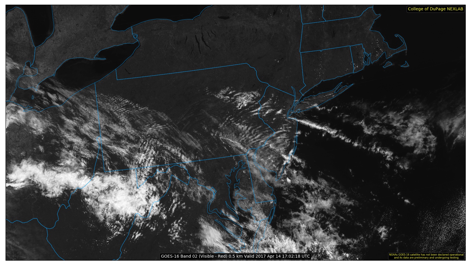
This evenings latest high resolution GOES-16 visible satellite imagery, regional radar mosaic, surface observations, and frontal postilions-showing showers and thunderstorms mainly concentrated to the west of the area this evening (Courtesy of Simuawips)
Saturday Into Saturday
Tomorrow morning will likely start off quite unsettled as the mid level warm front to our south and west begins to move over the area with deep tropical moisture entrenched within. Precipitable water values will also increase markedly, into the 1.5-2″ range, so any showers and thunderstorms that develop early Saturday morning have the potential to produce very heavy rainfall in a short period of time. Though, with weak mid level lapse rates, any updrafts that do go up tomorrow morning will be extremely short-lived, and will likely form and die over the same location. Later in the morning, the warm front should lift through the region, possibly clearing out any residual showers and weak thunderstorms out of the area, and allowing for a brief period of sun poking through the clouds. Depending on how much sun the area sees late tomorrow morning and early afternoon will determine just how much the area can destabilize, which will have implications on the rest of the day. Model guidance suggests that the western portion of the New York metro area does in fact clear out enough during the afternoon hours that instability on the order of around 1000-1500j/kg^2 develops. By this time, it appears likely that a mid level trough will begin to nose into the Northeast, with a favorable upper level jet streak also making an appearance.
The combination of these factors could possibly lead to the development of some scattered showers and thunderstorms-some of which may be strong to severe. As of this evening, it appears locations west of NYC will have the best potential to see any robust thunderstorms, with the main threats being gusty winds, sub-severe hail, frequent lightning, and very heavy rains. This activity will be highly dependent on the timing of the best forcing arriving from the west, as well as just how much we can clear up and destabilize tomorrow after the initial batch of rain in the morning. Overall, widespread severe thunderstorm development does not appear likely tomorrow.
As we head into the evening, any residual showers and thunderstorms should gradually head east and weaken as the frontal system associated with the mid level trough begins to push over and out of the area. Behind the front we should have a less humid airmass, but with the risk of cloud cover, temperatures are not that likely to fall all that much-with lows generally in the low to middle 60’s.
Sunday looks to be a huge improvement over today and Saturday, as the shortwave trough that moves through on Saturday heads to our east and begins to usher in a cold front. This cold front not only looks to clear out any substantial cloudiness that may linger over the area, but should also be quite efficient at greatly reducing dewpoints from the 70’s, to lower 60’s over the entire area. With sunny skies, light winds, and low humidity, Sunday will be near-perfect for any outdoor activities , though there may be a risk of rip-current’s along the coasts, so please make sure to monitor beach conditions if you are planning a beach day. Highs will likely be comfortable-with temperatures reaching into the upper 70’s to lower 80’s, and lows getting down to the low to middle 60’s.

This evenings RPM model showing the progression/development of showers and thunderstorms later this evening and into tomorrow afternoon, followed by an eventual clearing on Sunday (Courtesy of WSI)
Monday and Beyond
Previous model guidance runs had Monday being the next potential period for heavy rain, but have since backed off this idea quite a bit. This is due in part to the models incorrectly handling a weak tropical system that has been tormenting forecasters for the better part of the last nine days or so. This low was originally forecast to interact with a stalled frontal boundary located to the south of the region on Monday, which would in turn spawn another wave of low pressure. The tropical low pressure system has once again failed to develop, and this had lead to some significant changes in the model guidance for next week. It now appears that the same frontal boundary will not be able to push as far north as previously thought, mainly due to a lack of a surge in precipitable water values/moisture associated with the tropical system. So in short, this means that any precipitation on Monday will likely be much more spotty in nature than previously thought, with very meager amounts of instability and lift to work with over our area. At this time, we would not be surprised at all if this rain threat continued to deteriorate over time and does not amount to much of anything north of the Mason-Dixon line.
Otherwise, it appears that the northern stream will remain quite active for this time of year and could potentially lead another disturbance down our way by the middle of next week, with moisture surging ahead of this disturbance as we have seen many times before. However, at this time it seems that these rain threats will be transient in nature, with ridges likely building in behind-leading to a brief period of calm weather before the next rain chance.

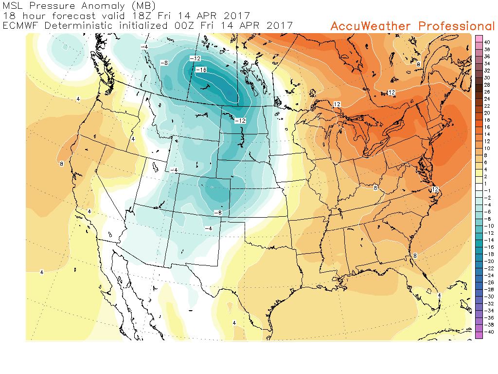
This afternoons European ensembles, showing another unsettled period shaping up next week, with a trough over the central part of the US, and a ridge positioned over the south. This would lead to multiple disturbances rolling over the ridge, and into the Northeast.
For more information and posts like this one, make sure you sign up for Premium Forecasts — where multiple detailed articles, videos, and interactives are posted each day. Also, come interact with our staff and many other weather enthusiasts at 33andrain.com!
Have a great evening!
Steve Copertino


