Posts

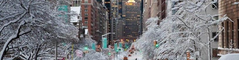
Winter returns this week, snow possible Tuesday

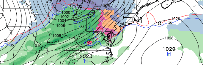
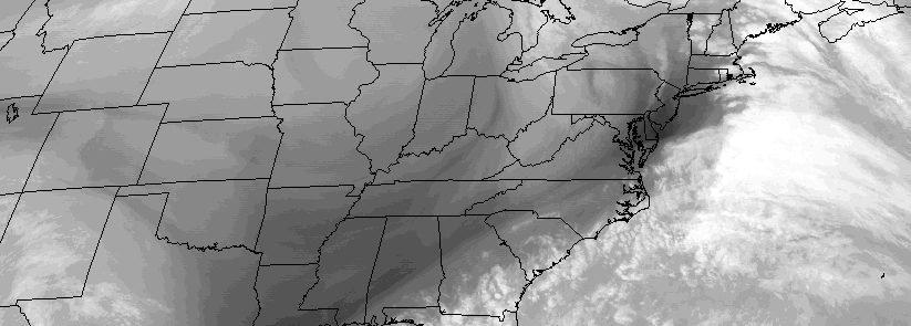
It has been an active Sunday throughout the area, with heavy rain, winds, coastal flooding and thunderstorms. A cold front will push through the region this evening, ushering in much colder air both aloft and at the surface. Skies will turn mostly clear overnight, as high pressure builds into the area. Most notably, strong westerly winds will be the driving force in pushing the colder airmass into the area. Temperatures will quickly fall into the 20’s and 30’s by sunrise, with winds gusting as high as 40 miles per hour.

Read more

Mild December Likely to Continue…Pattern Change for January?

About one week into Meteorological Winter, much of the meteorological community is aware that the coming weeks are not likely to offer many wintry precipitation prospects. Our long range outlook will discuss the meteorological pattern for the upcoming 30 to 45 days. With an in depth look into meteorological patterns and the developing global circulations, we’ll explain the processes occurring that will drive our weather pattern through the rest of this month and into January.

Read more

There are no highly accurate guides to winter in August

We like Slate. Their pieces are innovative, their writing is professional, and their staff is talented. The research they conduct is often top-notch, and their social media presence is impressive.

We don’t like the piece they published earlier today. Neither should any meteorologist, professional forecaster, hobbyist, or reader, for that matter. The article,  A Very Early Yet Highly Accurate Guide to This Coming Winter is already irresponsible in its title. The piece goes on to elaborate on the fact that, due to the increasing confidence of an El Nino, forecasters can see what’s coming this upcoming winter with high confidence. From California to the Pacific Northwest and Urban Northeast, the article proclaims that the forecast certainty is higher than ever. Not surprisingly, it also calls for snowier than normal conditions here in the Northeast.

Read more

Two more wintry events possible this week

An active mid and upper level atmospheric pattern continues to bring storm threats from the Central to Eastern United States this week. After a moderate snowfall event on Sunday Night into Monday, eyes will turn to two more potential winter weather events, both of very different nature, during the middle part of this upcoming work week. Both have the potential to bring snow, sleet, and ice accumulations to much of the forecast area.

The first threat will come Tuesday Night into early Wednesday Morning. A classic “southwest flow event”, as meteorologists often refer to it, will transpire throughout the Northeast United States. A low pressure system will be well to our north and west — over Canada — drawing in southerly winds and warmer air, but low level cold air over the Northeast will hold on long enough to allow for a period of snow.

Read more