Leigh, Nebraska
June 16th, 2017
Interactive Chase Map
[mapplic id=”29204″]
Chase Discussion
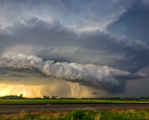
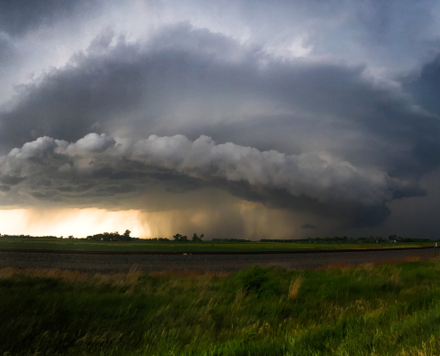
Okay, i’ll admit it. I chose Leigh, Nebraska as the main location for this storm chase because it was the most recognizable location – both in terms of its name, and the fact that it will forever be etched in my brain as the first place I saw a supercell. Yes, this was my first proper storm chase, and it resulted in beautiful visuals. I did not see a tornado on this day but I did, in fact, see several beautiful supercell structures.
The day began inauspiciously. I had not committed to the chase as of around 8:00am. In fact, I sat inside a Caribou Coffee in Minneapolis fairly casually on the morning of June 16th. I didn’t anticipate a chase on this day when I woke up – forecast model guidance was fairly consistent in the idea that storms would form in Nebraska, but that they would congeal into a messy complex of storms fairly quickly.
These types of complexes of conglomerated supercells are both unattractive and dangerous for storm chasers. When supercells form and rapidly congeal they can display erratic storm motions and behavior. More importantly, the inflow into the storms becomes cutoff and modified, leading to a very low tornado threat. Instead, high precipitation supercells develop and result in very large hail and strong, damaging winds. A big no-no.
During the morning, however, I noticed some encouraging signs. The latest high resolution model guidance was keying in on a mesoscale convective boundary that was clearly visible on regional and local observations in Nebraska, oriented from west to east across the Central parts of the state. The idea was that this boundary could serve to enhance convective development early in the day, which in turn would lead to a slightly broader “window” for storms to remain discrete.https://www.nymetroweather.com/wp-admin/post.php?post=29203&action=edit#
I decided to jump on it.
I drove southward (rapidly) through Minnesota in the morning and stopped only in Sioux Falls to take a quick look at the latest data and grab some food and a coffee. I was encouraged – the signs were all there that thunderstorm initiation would happen fast enough to allow for a quick window of tornado potential.
I was correct – almost too correct – because storms developed before I could get there! I glanced at the latest radar data and a supercell had rapidly formed over Central Nebraska and was already displaying signs of rotation. As I turned westward and began to make my approach from the southeast, I became wary of storm motions – which were also southeast. Updraft blowoff began to inhibit my structural view, so I had to get fairly close.
The initial supercell became dangerous to chase. It was high precipitation in nature, had already begun producing a tornado that was rain-wrapped and heading south/southeast. Given the motions and my position, I decided to relocate further south and west. I almost got too close near the town of Leigh (the name of the article again) and had to race southward through some trees with an obstructed view.
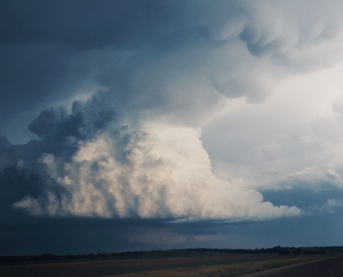
However, to my south, the mesoscale boundary was still there and, in fact, more development occurred. I was treated to a beautiful scene. Isolated supercells began developing on the southwestern flank of the boundary. They were slightly lower precipitation in nature and offered amazing structural views. Rotation was evident on almost all of them. There were a few mesocyclones and wall clouds, but no tornadoes.
I settled eagerly for the scene. These were the most beautiful storms I had ever seen in my life and I was completely blown away by their raw power and beauty. Giant hail stones, powerful winds and amazing structural views and motion were all I needed to see. I kept bailing west with each new supercell development – getting a glimpse at new storm after new storm before I noticed the development started to become elevated – not surface rooted.
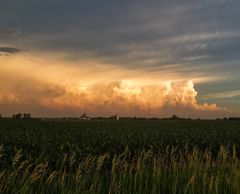
It was then that I bailed north, and then east, around the complex of storms. I was treated, on my way back northeast towards Sioux Falls, to an absolutely incredible view of the back side of the storm complex that had organized into a mesoscale convective system and was heading toward Omaha. It was one of the most beautiful sunsets I had ever seen.
Interesting fact: Not one drop of rain fell on my car. Not bad for my first chase!
What an amazing day.


