-2")
Thursday Briefing: Excessive Heat Watch on Friday and Saturday
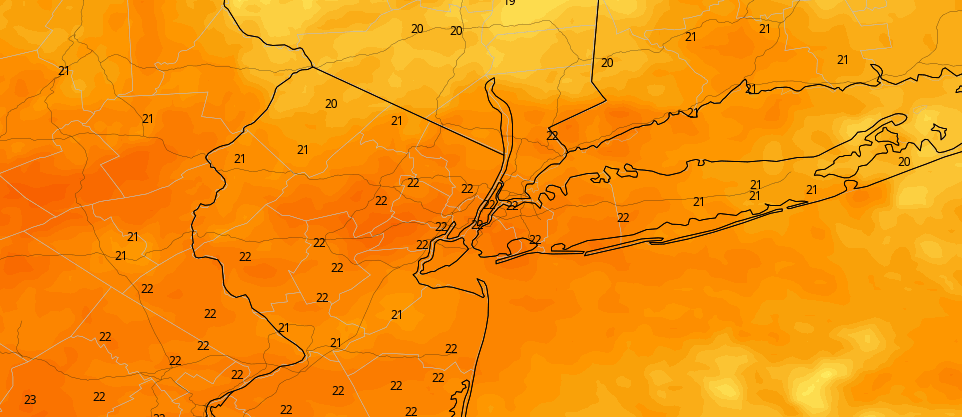
The National Weather Service has issued an Excessive Heat Watch for the NYC Metro on Friday and Saturday. The watch also includes New Jersey, Long Island and Connecticut. Dangerous levels of heat are likely during that time. Temperatures will rise into the upper 90’s, and high dew points will lead to Heat Index Values over 105 F.
This level of heat is dangerous for everyone, but especially for sensitive groups. There are several heat safety tips available on our resource page. The most important thing is to stay hydrated, but it is also recommended that you significantly reduce exposure to the sun. Keep a close eye on children, the elderly and pets.
In addition to the heat, the weather pattern will stay active. We’re tracking the potential for storms each day, as we detail below in our Five Things (we really need to trademark that) for today:
- Those were some storms last night! A few areas of wind damage were reported, lightning was dangerous and frequent, and many areas observed flooding. A few lingering showers are expected this morning, followed by another round of scattered storms this afternoon. We aren’t expecting them to be as impactful or widespread, but they still will bring rain and lightning to some areas as they shift through.
- The heat dials up on Friday. Temperatures will rise into the upper 90’s, humidity will rise as well. This will lead to Heat Index values over 105 degrees. It’s going to be brutal out there.
- The heat dials up even more on Saturday. Temperatures will springboard into the upper 90’s as early as noon. Highs could reach near 100 degrees, and with dew points in the 70’s, heat index values should approach 110. This will be a dangerous day for anyone without air conditioning. Stay hydrated and be careful.
- The chance of storms increases as we move toward the end of the weekend. The timing remains a bit uncertain right now, but we’re expecting at least some thunderstorm activity on Sunday. It’ll be hot again – and with plenty of instability nearby, storms could quickly become severe when and if they form.
- The weather pattern gets active early next week. The heat will back off, but multiple disturbances will approach the area. Expect more shower and thunderstorm activity.
That’s all we’ve got for this morning. More headlines and details are coming this afternoon as we start to really hone in on the heat and storms over the next several days.
As a reminder, we’re sponsoring Fun(d) The Dream this weekend, which helps raise money for patients and families struggling with cancer locally. Come support us or send over a donation for a great cause!
Trackbacks & Pingbacks
1unaided
Leave a Reply
Want to join the discussion?Feel free to contribute!