-2")
Premium Blogroll
Forecast Discussions
PM Rain Exits, Storms and Cooler Weather Possible This Weekend!
Good Evening! After a relatively hot and humid day across the entire Northeast and Mid Atlantic regions, we have seen large-scale thunderstorm development courtesy of the mid level shortwave that we discussed back on Monday. This shortwave was located to the west of the area, and with CAPE values of around 2000-3000 j/kg^2, PWATS near […]
Premium Long Range: Cooler, Active Pattern Next Week…More Changes Late Month?
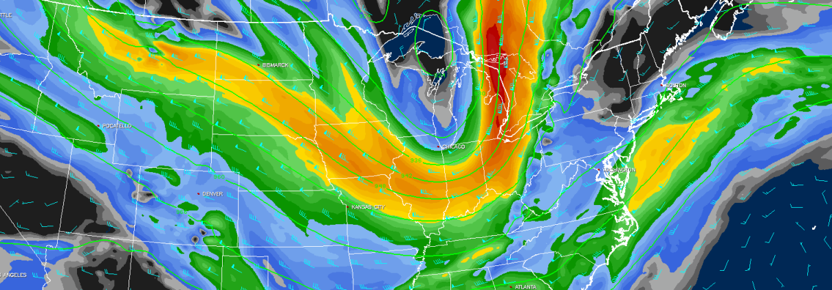
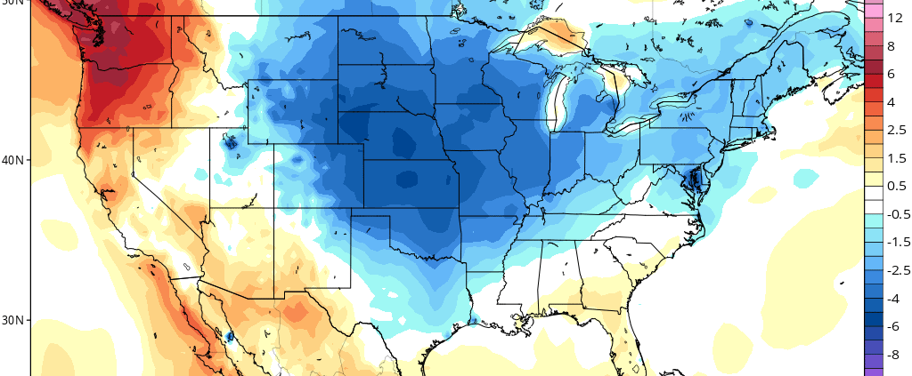
Good morning! More summer-like weather with more heat and humidity will continue for the rest of the week,with some scattered showers and thunderstorms possible each afternoon or evening. But it appears the Western Hemispheric pattern will undergo another more significant changes to support some cooler weather again for next week. First changes, will start occurring […]
Locally Strong Thunderstorms Possible on Wednesday
Good evening! We hope you enjoyed this summery Tuesday. This article is going to just focus on the potential for thunderstorms on Wednesday afternoon — some of which could briefly pulse to strong to even severe status. It all starts with a shortwave trough that will be moving into the area on Wednesday, bringing plenty of […]
Local Observations


