-2")
Forecast: Briefly cooler, cloudier ahead of approaching front
After a warm two day stretch during the middle of this week, southeast winds have returned this Thursday morning and will continue into early Friday. The result will be plenty of clouds and the potential for isolated showers and drizzle as cool marine air moves in off the still colder ocean waters. A cold front, which remains well to our west on Thursday afternoon over the western Ohio Valley, will eventually approach by late Friday night. For the remainder of Thursday, however, damp and cloudy weather will be the main theme. Despite warm temperatures aloft, the aforementioned developments will keep temperatures in the upper 50’s to lower 60’s. The higher temperatures should generally be confined to Central and Southern New Jersey.

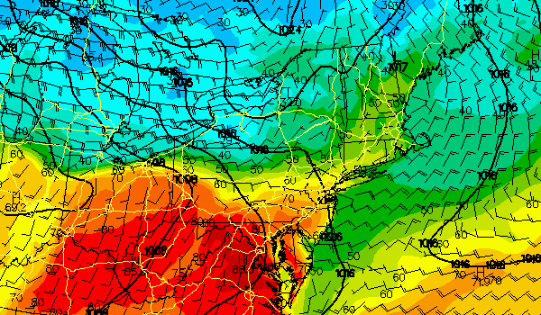
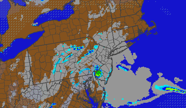
NAM model showing forecast radar and cloud cover on Thursday afternoon. Southeast winds will usher in plenty of clouds and drizzle, keeping temperatures in the upper 50’s to lower 60’s.
By late Thursday night, forecast models are consistent in developing additional clouds and fog. The fog should stick around into Friday morning, but will eventually lift as winds shift to southerly and things begin to really warm up. After some clearing Friday afternoon, the southerly winds will usher in warm air once again — and temperatures are expected to climb into the 70’s. If the sun sticks around, some areas in Central New Jersey could reach near 80 degrees. The cold front will approach late Friday with showers and thunderstorms and a period of heavy rain.
Today (Thursday): Mostly cloudy with a chance of drizzle and showers. Highs in the upper 50’s to lower 60’s. Southeast winds around 10 to 15 miles per hour.
Thursday Night: Mostly cloudy with fog developing. Low temperatures in the mid 50’s. Southeast winds around 10 miles per hour.
Friday: Mostly cloudy early with fog. Clearing by afternoon with highs in the upper 60’s to lower 70’s. South winds around 15 to 20 miles per hour. A chance of showers and thunderstorms late.