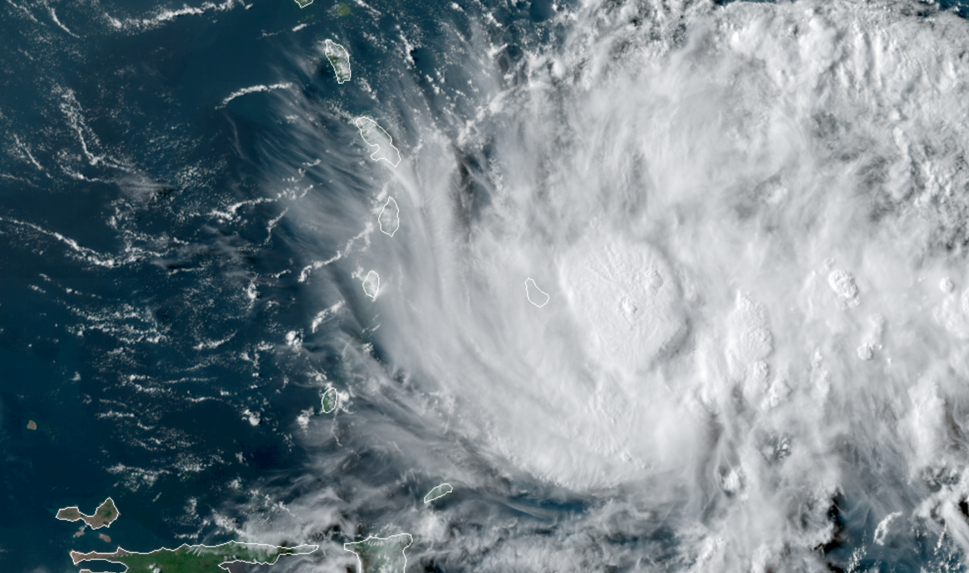
The National Hurricane Center designated Tropical Depression Six on Monday, and it is expected to be upgraded to a Tropical Storm by the morning hours of Tuesday. The system will pass well east of the area this week, but higher swells and surf are possible on area beaches.
Calm and pleasant weather is generally expected to continue today, with high temperatures in the 70’s and low humidity. Change is in the air, however, with a frontal system approaching from the west. By Wednesday, the opportunity for showers and storms will increase again.
The best chance will likely come later Wednesday evening into Thursday morning, with a front approaching the area. This is a transient, relatively weak front and it won’t have much instability to work with. In other words, don’t expect any intense thunderstorms. Instead, a few scattered storms are likely – especially over the Interior and in New England.
Here are the latest highlights and links:
- Calm weather will continue today, with low humidity and comfortable temperatures, albeit several degrees warmer than this weekend.
- A tropical system, perhaps Tropical Storm Erin by this morning, will meander well offshore this week. This storm may produced enhanced swells, surf, and rip current risk at area beaches later this week.
- Showers and thunderstorms are possible on Wednesday evening. Scattered in nature and generally non-severe, these shouldn’t be a big trouble maker.
- The weather improves again this weekend and into the early part of next week, but trends a bit warmer (seasonable is the best way to put it).
- Eyes will continue to be on Tropical Storm Dorian, which may or may not make a move at the Bahamas later this week and weekend. Here’s our latest briefing on that system.
-2")