-2")

Weekly Outlook: Pleasant to start, Dorian will pass offshore
Welcome to meteorological Autumn! Pleasant and calm weather is expected in NYC early this week, with high pressure in complete control. This will lead to seasonable temperatures and plenty of sunshine. The nice weather will continue through at least Wednesday.
The forecast takes a bit of an unsettled turn as we approach the back half of the week, when Hurricane Dorian is expected to swing up (and off) the US East Coast. The potential for some fringe impacts do exist along the area shores.
A close call with Dorian late this week
Hurricane Dorian is still churning in the Bahamas – it has been stalled there for more than 24 hours, producing devastating impacts. The storm will begin to lift northward on Tuesday, paralleling the east coast of Florida. A landfall on the Florida coastline is not expected.
The storm will continue northward, making a close pass to the Carolina coastline midweek. Forecast model guidance is split in regards to whether or not the system will make landfall, but currently an offshore solution is favored.
Nevertheless, the impacts along the coast of the Carolinas are expected to be significant. Mandatory evacuations have been issued for many areas, including the city of Charleston. Widespread flooding is possible, and strong winds may also occur on the coast.
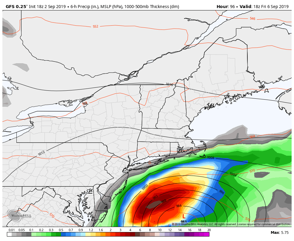
Dorian is expected to get “kicked” eastward away from the coast as we move toward Thursday and Friday. However, it will still be close enough to our area beaches to closely monitor. Some rain is expected along the shore from the systems outer bands. Winds and high surf are also likely to occur. The weather will improve by the weekend as Dorian moves into the northern Atlantic.
Stay tuned for further updates as we head through the week.
Leave a Reply
Want to join the discussion?Feel free to contribute!