-2")

Coastal storm to linger offshore through Friday
A large coastal storm has formed this week, and will continue to meander offshore for the next few days. Moderate to heavy rainfall fell across parts of the Mid Atlantic and New England Coast today as bands from the system moved westward. North/northeast winds have kept temperatures very cool.

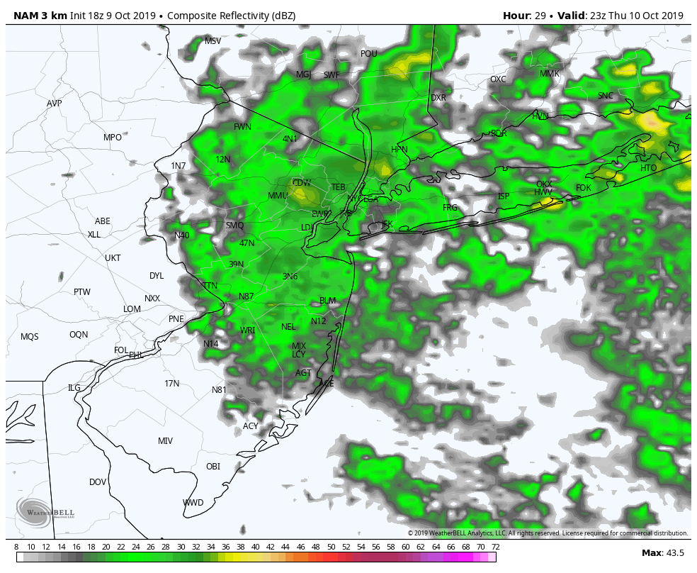
Much of the same is anticipated on Thursday. Additional bands of rain will rotate inland, first impacting parts of Southeast New England and eventually moving westward towards Long Island, Connecticut and New York City. In fact, Thursday may be even more dreary than today was – models suggest that real-feel temperatures may drop into the lower 40’s in the NYC Metro Area during heavy rainfall.
Latest forecast models suggest that the worst of the rain will come on Thursday afternoon. That’s when the banding is expected to rotate westward, with blustery winds and heavy rainfall. It’ll be a very dreary evening commute, so bring an umbrella and a rain jacket.
The coastal storm is slowing down considerably thanks to the presence of a high latitude block to our north. These “blocking” ridges of high pressure can effectively slow down the atmospheric pattern. In this case, it’s doing us the great favor of slowing down the offshore system so that rain lingers in our area for several days.
Blustery north/northeast winds and onshore flow will also create some concern for coastal flooding. Persistent onshore winds are never a good thing, as they lead to rising water levels along the coast. The National Weather Service has issued Coastal Flood Warnings and Gale Warnings along the area beaches for the combination of wind and rain.
Elsewhere, expect more rain on Thursday – particularly near the coast. Showers could linger well into Friday and temperatures will remain cool and conditions will be damp. The weather will finally begin to improve as we move through the weekend, with partly cloudy conditions expected on both Saturday and Sunday.
The medium range weather pattern offers some additional hope, with the expectation that temperatures will gradually warm up toward more seasonable levels. This should bring comfortable and fall-like weather back into the forecast by next week.
Trackbacks & Pingbacks
3blocked
Leave a Reply
Want to join the discussion?Feel free to contribute!