-2")

Strong coastal storm possible later this week
Forecast model and ensemble guidance continues to suggest that a strong coastal storm will develop later this week. A disturbance diving southward from Canada is the main culprit, as it interacts with a secondary disturbance near the US East Coast. The exact timing and details of the disturbances evolution will go a long way towards determining impacts in the Northeast US.
While not currently anticipated, winter weather could become a possibility with this system. This would be especially true if the coastal storm is able to rapidly strengthen near or south of our latitude.
Breaking down the setup
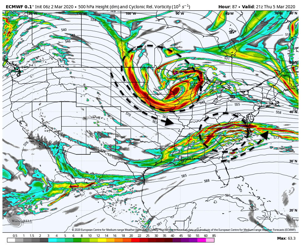
As is the case with most coastal storms, the setup is quite intricate. There are a few key components:
- A disturbance moving eastwards from Texas into Dixie Alley and then towards the Mid Atlantic Coast
- Another disturbance diving southward from Canada into the Great Lakes and eventually Northeast States
- A large ridge in the Western United States
Ensemble guidance strongly suggests that the disturbance over the Great Lakes region (Disturbance No. 2 above) will drive southeastwards. This will allow it the opportunity to interact with, or potentially phase with, the disturbance over the Mid Atlantic coast (Disturbance No. 1 above).
The result of this interaction and amplification could be the development of a strong coastal storm. As you might imagine, the exact details of how these two features interact will have huge implications on the coastal storm that develops and the resulting forecast.
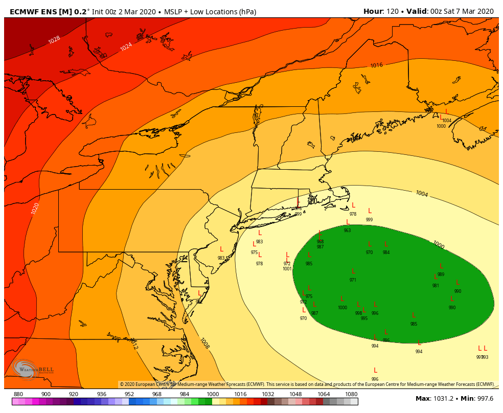
At the moment, ensembles are in unusually strong agreement that a notable coastal storm will develop. The exact track of the system is uncertain, but the signal is strong for this range (3-5 days) with almost all ensemble members indicating a storm of some sort.
Potential impacts in our area
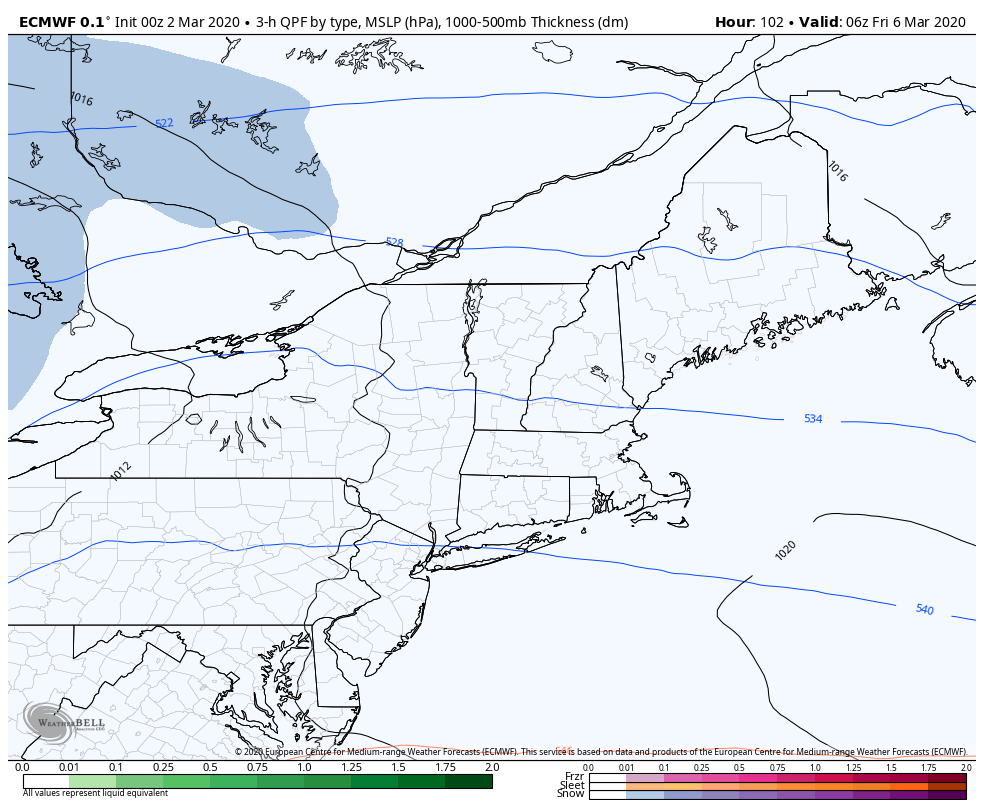
A myriad of impacts are possible throughout the Northeast states from this system, including but not limited to significant snowfall, snow squalls, coastal flooding, and strong wind gusts. Exactly how the system evolves will have a huge impact on the weather observed in our area.
At the moment, the storm looks likely to rapidly strengthen just – and we cannot stress this enough, just – far enough east for the NYC Metro area to avoid significant impacts. Still, even with the current thinking, the potential for snow squalls and blustery winds will exist.
The potential exists for a late season winter storm with this system, particularly in parts of New England. The further south/west the storm tracks, and the faster it strengthens, the more widespread wintry weather impacts could be – even in our area. The further east or more progressive it remains, the less likely impacts will be.
Stay tuned over the next few days for more details, and be sure to follow along on our social media accounts for more updates on the potential storm system.