-2")
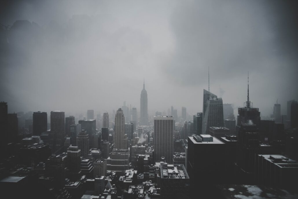
Major nor’easter forms Monday with rain, wind and even snow possible in NYC
A major nor’easter will develop on Monday, shifting from the Mid Atlantic states towards New England. Periods of heavy rain will occur in New York City starting Monday afternoon and continuing through Tuesday morning, with localized flooding and gusty winds. A changeover to snow is *possible* on Tuesday, but the details on the changeover remain highly sensitive to the storms track and intensity.
How is the storm developing?
Two disturbances are forecast to phase off the Mid-Atlantic coast late on Monday, leading to the development of a strong low pressure system. The first disturbance moves off the Mid Atlantic coast on Monday afternoon while the second disturbance drops southward from the Great Lakes behind it.

Forecast model guidance has waffled back and forth in regards to exactly how the phase will occur. Generally, a faster and cleaner phase between the two disturbances will lead to the storm tucking in closer to the coast. A slower and sloppier phase will allow the storm to escape further to the east and out to sea.
With marginal temperatures in place prior to the storm, the timing of the disturbances phasing will be critical to determine when a change to snow occurs in NYC – if it does at all.
What is the expected timeline of events?
Rain will begin on Monday afternoon in the NYC Metro and is expected to continue into Monday night. Periods of locally heavy rain are expected and some flooding may also occur. Winds are expected to ramp up a bit through the evening with locally gusty winds into Tuesday morning.
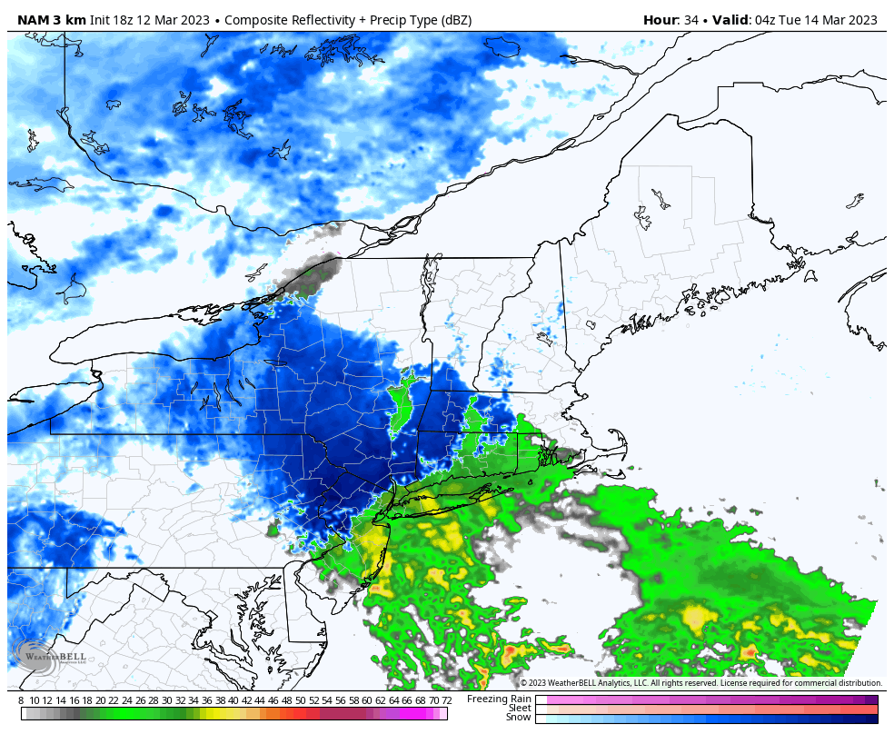
On Tuesday morning, rain will begin to mix with and change to snow in the interior. The rain/snow line will very slowly sink southward towards the NYC Metro while snow begins accumulating in the interior and higher elevations.
If the phase of the storm occurs faster, rain will change to snow by Tuesday morning and continue for several hours on Tuesday. If the phase is slower, precipitation will largely remain rain before wrapping up as a brief period of snow showers and light accumulations in the NYC Metro.
At the moment, the majority of forecast models suggest that rain will be the predominant precipitation type in the NYC Metro. Still, there are a handful of models still suggesting that a more notable period of snow could occur. The forecast will need to be closely monitored in the next 12-24 hours as the event draws near.
For a more detailed look at what’s happening, check out our latest video on Youtube: