-2")
Rainy, unsettled weather continues in NYC this weekend
Spring has sprung, or at least it technically has on the calendar. The weather has not cooperated recently. After a stretch of beautiful days with high temperatures in the 80s just a few weeks ago, the Northeast has been stuck in the proverbial mud. Cooler than normal temperatures with rainy and dreary conditions have been a mainstay in the forecast over the past two weeks.
This weekend will offer yet another unsettled weather pattern with a deep low pressure system expected to form in the Northeast states. The forecast is complex, with multiple rounds of rain expected throughout the area. Here’s the breakdown of what to expect, day-by-day.
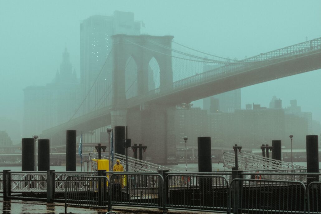
Friday: Clouds this morning have thickened and drizzle is possible by the early afternoon hours. Steady rain is expected to move into the area by the mid afternoon hours and continue into the overnight. It may not be heavy at all times, but it will be dreary with intermittent rain all night long. Suboptimal is putting it lightly.
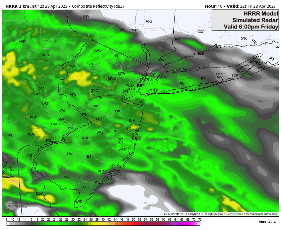
Saturday: Rain is expected to be ongoing during the early and mid morning hours, as the same band of moisture that moved into the area Friday evening remains overhead. Gradually, as we move into the early afternoon hours, this band will clear the area to the north. It’s possible that we will have a break in steady rain on Saturday afternoon, as our area will be between two distinct atmospheric disturbances.
If you want to be outside this weekend, Saturday afternoon and evening seems like the best time to do it. It won’t be ideal, with drizzle and clouds persisting, but it also won’t be raining steadily at that time either. We’ll take it, I guess – with high temperatures only in the low 50s it will still feel very chilly and raw out there.
Sunday: A stronger and deeper low pressure system will begin to develop to the west of our area on Sunday. Moisture will return to the area, surging northward as the morning goes on. Periods of rain and thunderstorms are then expected on Sunday afternoon and evening as the system ramps up and moves towards the region.
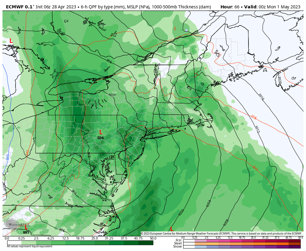
These showers and storms will gradually move away from the region later on Sunday evening, with some clearing finally expected Sunday night. We won’t be totally out of the woods yet, though – with models suggesting unsettled and cooler than normal weather will persist well into the middle part of next week.
We’ll have further details on what to expect each day as we head through the weekend. For now, expect a wet and damp weekend with cooler than normal temperatures and raw weather conditions persisting into the early part of next week.
Tl;dr: A bad weekend of weather. Rain from Friday afternoon into Saturday morning, damp and drizzly on Saturday afternoon but a break in steady rain, periods of heavy rain and storms return on Sunday and clear on Sunday night.