-2")

Showers return on Monday, crisp autumn weather follows in NYC
Good afternoon, NYC!
Beautiful autumn weather has been the story for the past several days and will continue to be the story today. High temperatures in the mid 60’s and plenty of sunshine will keep conditions feeling comfortable.
The weather is expected to change as we move into the early part of next week, as a low pressure system approaches the area. A deep trough is forecast to sink southward from Canada with a frontal boundary moving through the Great Lakes and into New England.
Clouds and showers are forecast to develop on Monday with periods of steady rain also possible. It’ll feel raw and cool out there, with temperatures in the lower 60’s and a damp breeze. The frontal boundary will very gradually approach the area late Monday evening into Tuesday morning.
Despite the slow and rainy start to the week on Monday, weather conditions are largely expected to be quite nice during the majority of the week ahead. Once the front clears the area on Tuesday morning, cool and crisp autumn air will surge into the area.
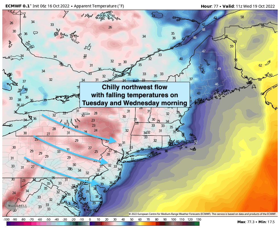
High temperatures from Tuesday through Friday are forecast to reach the middle to upper 50’s with sunshine each afternoon and a steady breeze. It’ll definitely be feeling cooler than it has for the majority of the autumn so far, with overnight low temperatures falling into the lower 40’s on both Tuesday and Wednesday evening.
Temperatures are forecast to gradually warm up as we move into the late week and weekend time frame as well – with all models indicating that dry weather will continue as well. All in all, Monday looks like the one loser of a week that will be dominated by crisp and pleasant Autumn weather. We’ll take it!
We’ll have further updates as we head through the week. Enjoy the rest of your Sunday!