-2")
Premium Blogroll
Forecast Discussions
Light snow tapers off this morning…more light snow possible Saturday
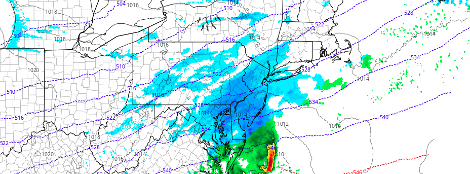
Snow has begun tapering off and ending southwest to northeast across all zones early this morning. This occurs as low pressure tracks east-northeast off the North Carolina coast and more lift with an associated upper-level jet streak start to move the northeast of the region. Most snowfall reports so far have been between 1” – […]
Light Snowfall Likely Tonight into Early Friday
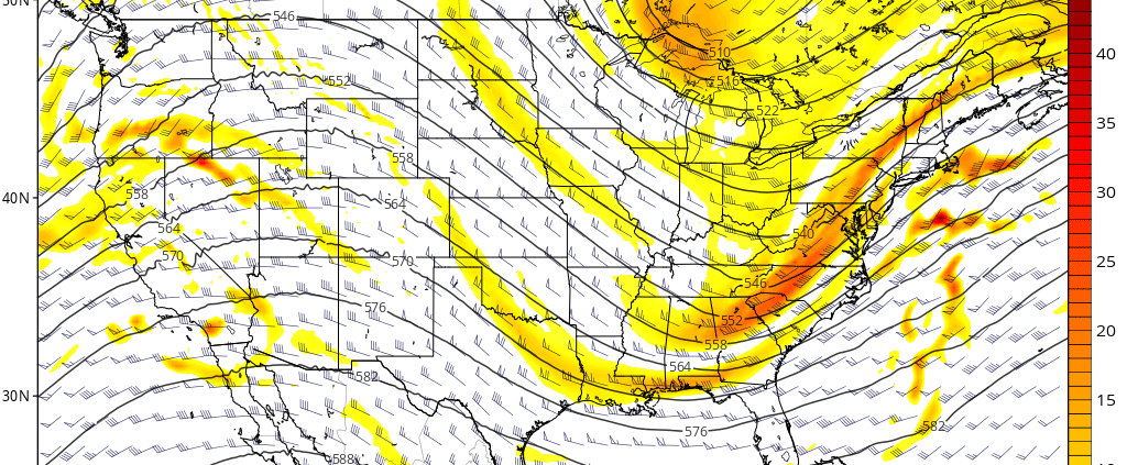
A polar shortwave disturbance will cause low pressure to develop along the North Carolina coast this evening, with a low pressure area slowly intensifying and tracking to the northeast. The storm system will remain relatively progressive, with the brunt of its precipitation remaining over the Atlantic Ocean. However, with some lift fro, an upper-level jet […]
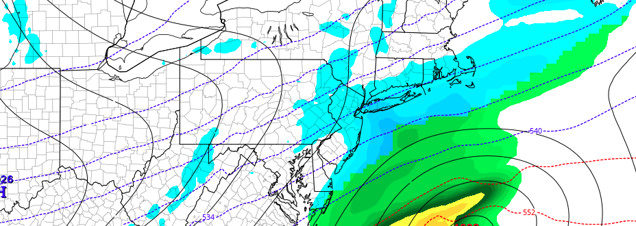
AM All Zones Update: Coastal storm scrapes by Friday
Cool, crisp, and windy conditions are likely to be the dominant weather today as high pressure builds into the area and arctic air surges through as well. The cold start to the day will continue well through the afternoon hours as high temperatures remain below seasonal averages throughout the area. Blustery winds are expected as […]
Local Observations


