-2")
Below normal temperatures could return
It’s been quite a run. A 12 to 13 month run, actually. Dating back to April 2011, above normal temperature anomalies have generally dominated the weather pattern in our area. That’s right, since
")
New Jersey 12 month temperature departure chart and highlights. Credit: Rutgers Climate Center
since April 2011, there has not been one month which featured below normal temperature anomalies. To clear up some confusion (we’ve read your emails and tweets), temperature anomalies being above or below normal doesn’t necessarily mean it’s scorching hot or freezing cold each day. The temperature anomalies, instead, signify the amount of degrees that the temperature differed from the long-term average for the month. So for instance, if the calculated average temperature for March in NYC was 60 degrees since 1900, and March 2012 averaged 62 degrees, our departure would be +2 degrees.
With that cleared up, we can get an idea of how much of a streak we really have been on. Sure, there have been periods of below normal temperatures. We’ve seen them for a few days behind cold fronts, on the north side of warm fronts, and behind major storm systems. But the above normal anomalies have, obviously, been longer lasting and more intense. The image to the right shows the 12 month highlights of these above normal temperature departures in New Jersey (don’t worry, they aren’t that much different in New York City itself). It’s pretty easy to see that not only was the warmth present, but it was setting records along the way as well. Several months in a row were placed among the top-ten warmest since records began being recorded in New Jersey. On a larger scale, all of the four seasons in the year were in the top 5 warmest ever, and the most recent month of March 2012 was the warmest March on record.

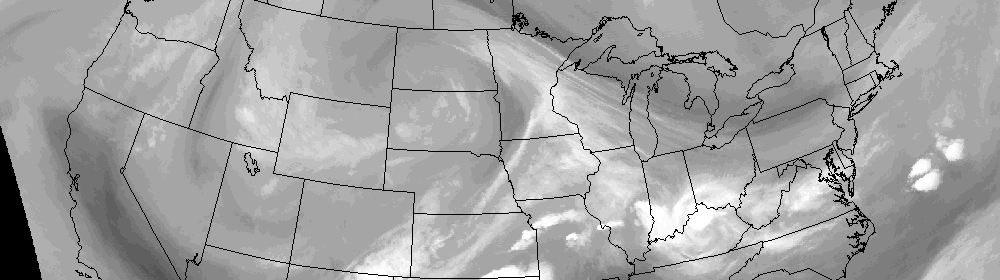
GFS Model (4/29/12) Forecast 500mb Height Anomaly average in the 8-14 day period
But now, it seems the pattern may want to change a bit. Forecast models are beginning to lock on to the potential for below-normal height anomalies in the 8-14 day range. This doesn’t guarantee below normal temperatures, but it does mean it will be somewhat difficult to maintain above normal temperatures, if a persistent trough is present (signified by the below normal heights). The GFS has been most aggressive with this feature, but more recently the ECMWF has jumped on board as well. Don’t fret, though, if you enjoy the warm weather. It also looks like a brief period of warm weather, with above normal temperatures, will preface this potential below-normal event, during the middle of the coming week.
It remains to be seen if the forecast models are on to something — or if the above normal temperatures will be able to persist, despite the potential for below normal anomalies in the mid levels of the atmosphere. That being said, this is certainly the first time we’ve seen the forecast models advertising the potential for this with some consistency. We’ll be watching it carefully, and we’ll see if the streak of above-normal anomalies will go down without a fight. Something tells us it won’t.
")