-2")
Explaining the chill this morning: Radiational Cooling
Most of the region saw their coolest temperatures of the fall-season this morning. However, urban areas did not — the most extreme examples of the discrepancy were lows of 29 and 32 degrees at Westhampton Beach Airport, NY (KFOK) and Somerset Airport, NJ (KSMQ) respectively, while Central Park (KNYC) and LaGuardia Airport (KLGA) had lows of 50 and 52, respectively. There are often temperature differences between urban and suburban/rural areas, but not of this magnitude. The phenomenon is not without precedent, however, and once explained — it actually makes a ton of sense.
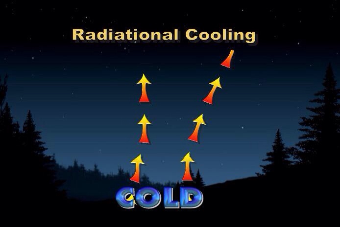
What do we know, to start, about radiational cooling? For one, we know that everything radiates heat. During the daytime hours, the suns incoming radiation serves as a heat source. But with nightfall, and the loss of daytime heating, the surface will continue to radiate the days heat outward — and cool. This is called, by definition, radiational cooling.
Strong cold fronts crossing the area, or stiff northerly winds advecting cold air into the region, can often serve as effective mechanisms to bring cold weather to our area. It is during these events that the area experiences an air-mass change — affecting the entire atmospheric profile and bringing widespread cold to the region. A changing air-mass will cool the nighttime temperatures simply as a product of the cooler atmosphere, but the daytime temperatures will also be cooler, since there is a limit as to how much the sun can modify a cooler airmass.
Most of the time, however, the most efficient way our surface temperatures cool at night is not by an overhaul of the airmass — it is simply the process of the sun setting. As mentioned above, this depletes our source of incoming shortwave solar radiation, and allows heat to escape into space in the form of outgoing longwave radiation. This process is called radiational cooling, and it is the secret to our wildly varying temperatures from Monday morning.
There is no true change in the airmass — the only thing changing is how efficiently heat is escaping from the ground and into space. The fact that the airmass is not truly changing is why the temperatures during the day can recover so quickly, and why today’s temperatures were not any cooler than yesterday’s — despite the much cooler morning.
Despite our uncovering of the atmospheric mystery, there is more than meets the eye to this complicated radiational cooling situation.
Certain atmospheric conditions can make radiational cooling more efficient — and we had those last night.
1) Clear Skies: Clear skies at night will greatly enhance radiational cooling. Although clouds can prevent solar radiation from entering the atmosphere, they can also serve as a lid for longwave radiation escaping at night. The clouds will prevent the heat from escaping into space, and force it to be brought back to the surface. In particular, it is actually the high cirrus clouds that have a stronger warming affect than lower clouds such as cumulus clouds. Cirrus clouds are better “lids” to the outgoing longwave radiation. So, when you see lots of high and thin clouds in the sky, the temperature may not drop during the overnight or early morning hours.
2) Dry Air: Moisture and moist air, by rule, will stay closer to the surface for a longer period of time. As such, dry air will escape and radiate much faster. Moisture will also act to keep the warm air near the surface from radiating away. Some of our best radiational cooling events occur with a dry airmass in place.
3) Light Winds: Winds at the surface, or in the low levels of the atmosphere, will cause the warm air to mix with the cold air — effectively mitigating the effect of radiational cooling. Alternatively, in order to have a more impressive radiational cooling event, light winds can confine the cool air and allow radiational cooling to continue.
Those three ingredients are nearly essential for major radiational cooling events — and all were present Monday morning across the interior. In urban areas however, dense population, machinery, buildings, etc can cause “urban heat” which makes it even more difficult for this radiational cooling to occur.
A temperature gradient, like the one we observed last night, between the suburbs and urban areas is not unheard of. In fact, we likely will observe it many more times in the upcoming cold season.
If you’re in the suburbs on a cool, calm and clear night — grab an extra blanket.
Leave a Reply
Want to join the discussion?Feel free to contribute!