TS Karen forms, pleasant pattern may end soon

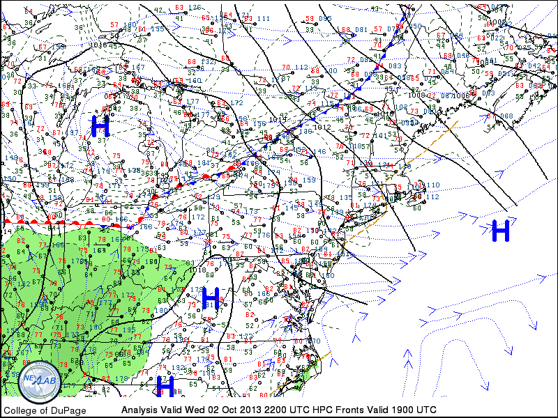
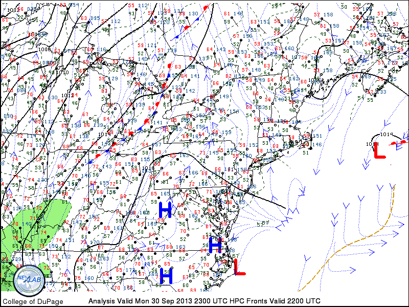
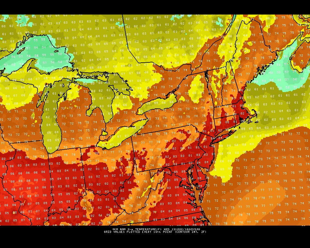
The last several days, spilling even into the past several weeks, have featured pleasant weather on average with little precipitation and abundant sunshine. In fact, not only has the weather been pleasant and free of any major storm systems — it has also offered a bit of something for everyone. Cool nights, featuring lows near or below freezing in the suburbs, were the story a week ago. Two to three weeks ago, temperatures reached near 90 with a brief burst of heat. Again this week, temperatures have climbed into the middle 80’s. One thing has remained consistent, however: There has been lots of sun, and very little precipitation. The benign weather pattern finally looks to come to an end, however brief, early next week. In fact, the changes begin on Friday as clouds increase and a weak mid level disturbance brings a chance of showers.

Tropical Storm Karen formed early this morning, and is seen here entering the Gulf of Mexico at 8am 10/3/2013.

Tropical Storm Karen formed early this morning, and is seen here entering the Gulf of Mexico at 8am 10/3/2013.

Tropical Storm Karen formed early this morning, after forecasters tracked the disturbance from the Caribbean towards the Gulf of Mexico. Karen is forecast to track northeastward towards the Gulf Coast states late this weekend into early next week. Meanwhile, a mid level trough over the Central United States will be shifting eastward towards the Mississippi and Ohio Valleys. The timing of the two features remains somewhat uncertain, but forecast models indicate the potential for tropical remnants and heavy rain to track up the coast early next week.

Read more

PM Update: Gorgeous autumn weather continues

Ten straight days of dry, pleasant, and sunny weather with low humidity. It has been quite a run, and we aren’t through yet. Stretching even farther back from the last cold front which brought some rain and storms (which seems like months ago at this point), it has been a 3 to 4 week stretch of pleasant weather in our area. Such a stretch is nearly unprecedented — but we have settled into a benign weather pattern. One has to wonder when the pattern ends, how long the unsettled weather that follows will continue.

Regional observations and fronts from the evening of October 2nd, 2013.

Regional observations and fronts from the evening of October 2nd, 2013.

Read more

Comet ISON’s moment of truth not far away

Several months ago, it was heralded as the upcoming “Comet of the Century”. Whether exaggerated or not, the general theme in all predictions for Comet ISON, which is expected to streak through the sky during November and December 2013, was that it would be a once-in-a-lifetime event. Some predictions even ventured to say that ISON would shine brighter than a full moon in the night sky, and be visible during the daylight hours.

But suddenly, as astronomers and amateurs alike began to capture new images of Comet ISON drawing closer to our neighborhood of the universe, the predictions changed. Newer imagery showed that ISON was not nearly as bright as anticipated, and out of the woodworks came the reports that the comet may not be seen at all.

While reports of the comet’s demise may be greatly exaggerated, the wild reports of an astronomical event for the ages may be as well. The truth it, we don’t know just yet how bright ISON may eventually be. The key lies in the path, and timing, of ISON’s future over the next few weeks.

Read more

Gorgeous week ahead: 80s on Wednesday

We hope everyone enjoyed the beautiful weather we had today! This trend is expected to continue, but with gradually rising temperatures through Wednesday. A weak backdoor front will cross Wednesday night, cooling temperatures a tad for Thursday and Friday, but highs will still run well above average. An additional weak warm front may develop for Friday night, resulting in a few showers.

Current surface analysis indicates a departing low pressure system offshore, and building high pressure systems to our south.

Current surface analysis indicates a departing low pressure system offshore, and building high pressure systems to our south.

Current surface analysis shows a large area of high pressure to our south, helping to deliver pleasant, warm conditions. This ridge of high pressure has gradually been building northward, but had been a bit halted by the departing low pressure to the east. Remember, that storm well offshore was what some models had being a major nor’easter last week — thank goodness it missed! Tonight will be pleasant and cool; clear skies and low temperatures dropping into the 50s.

As the low pressure continues to escape further from our area, that will give more room for the ridge of high pressure to build northward. This will lead to temperatures warming into the upper 70s to around 80 tomorrow, and potentially mid 80s on Wednesday! The building area of high pressure and the clockwise flow around it will bring warmer mid-level temperatures, and westerly winds — downsloping off of the Appalachian Mountains — which yields maximizing warmth, even for coastal locations. Low temperatures will be in the upper 50s for most locations — with lower 60s in more urban areas.

There may be a few stratus and cumulus clouds tomorrow as a weak shortwave traverses on top of the ridge, giving some on-and-off periods of shade and sun, but partly cloudy skies should mostly prevail. Wednesday will be mostly sunny.

This afternoon's high resolution NAM model shows temperatures warming into the low and mid 80s for Wednesday afternoon.

This afternoon’s high resolution NAM model shows temperatures warming into the low and mid 80s for Wednesday afternoon.

As seen in the image above, the entire area is projected to reach the low to mid 80s for Wednesday afternoon.

Thursday will see temperatures cool down to around 80, and Friday will have temperatures in the upper 70s with a few more clouds around ahead of a weak developing warm front. Any potential showers should hold off until Friday evening and night as the warm front crosses the area, but it will not be a washout.

The weekend will continue to feature above-average temperatures due to the passage of the warm front.

The next chance of more organized rain will be on Sunday night and Monday. But this is far out in the future, and there are still many variables at play — the chance is there that the rain could miss to our west.

For now, enjoy the terrific weather this week!