-2")
Strongest storm of season likely to spare our area
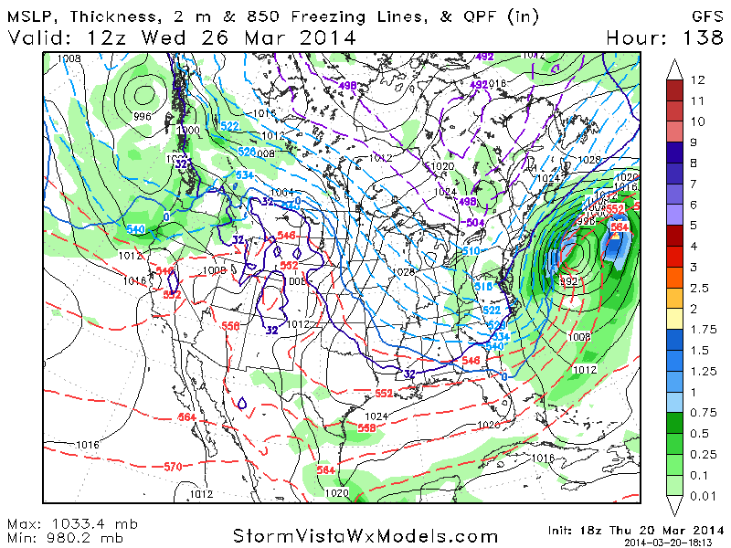
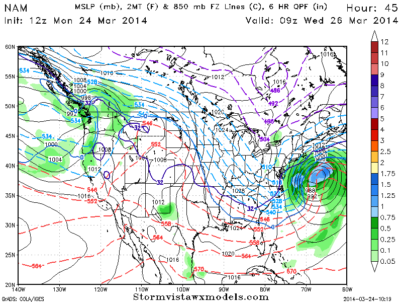
In what will all but certainly be winters dying breath, a large and powerful coastal storm will develop Tuesday into Wednesday off the southeast states while traversing northeastward to a position southeast of the 40/70 benchmark. In doing so, and owing to a major phase in the mid levels of the atmosphere, the storm will strengthen rapidly and explosively — dropping from around 990mb to somewhere in the 950’s mb. This will make the system the strongest of the season by far, and the strongest in our area since Hurricane Sandy.
The aforementioned phase involves three disturbances which originate from different parts of the mid level flow and jet stream. Pacific and polar energy will merge over the Northeast United States, and a favorable jet structure will allow for rapid strengthening of the low pressure system. More notable for us, however, is how all of this will occur a hair too slow and a tick too far east/northeast — allowing us to dodge what would’ve otherwise been an incredibly high impact storm system.
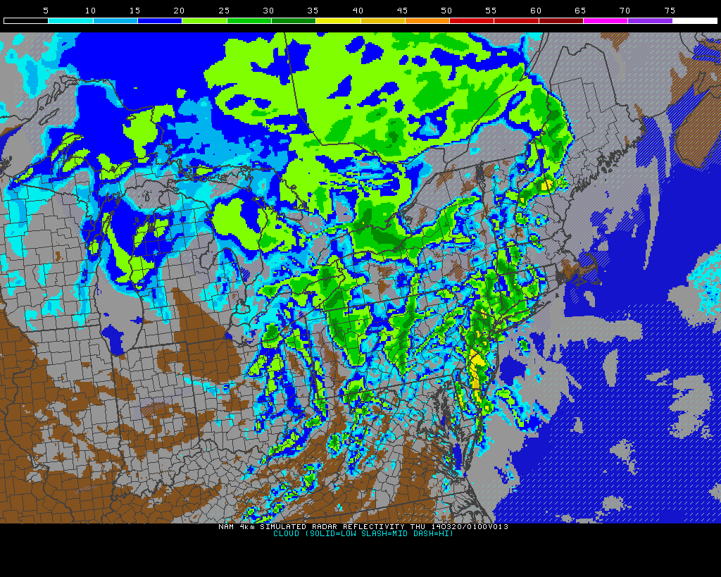
NAM model showing a major storm system developing offshore, barely grazing the coast.