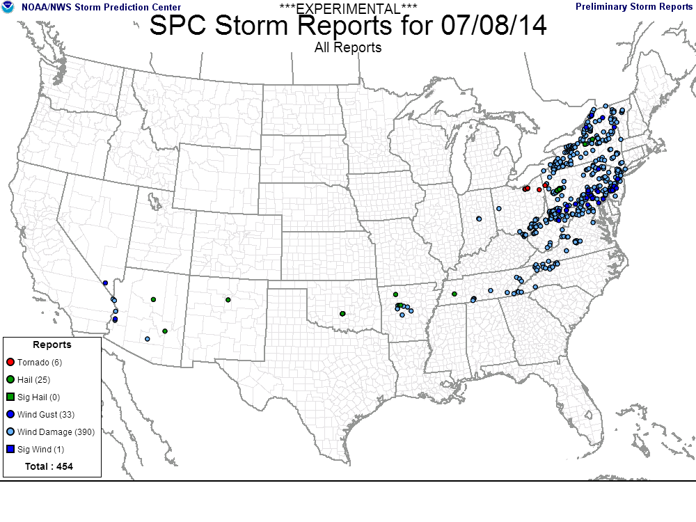
Severe weather, heavy rain likely Monday

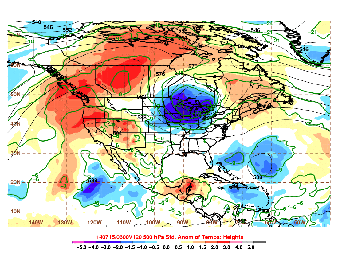
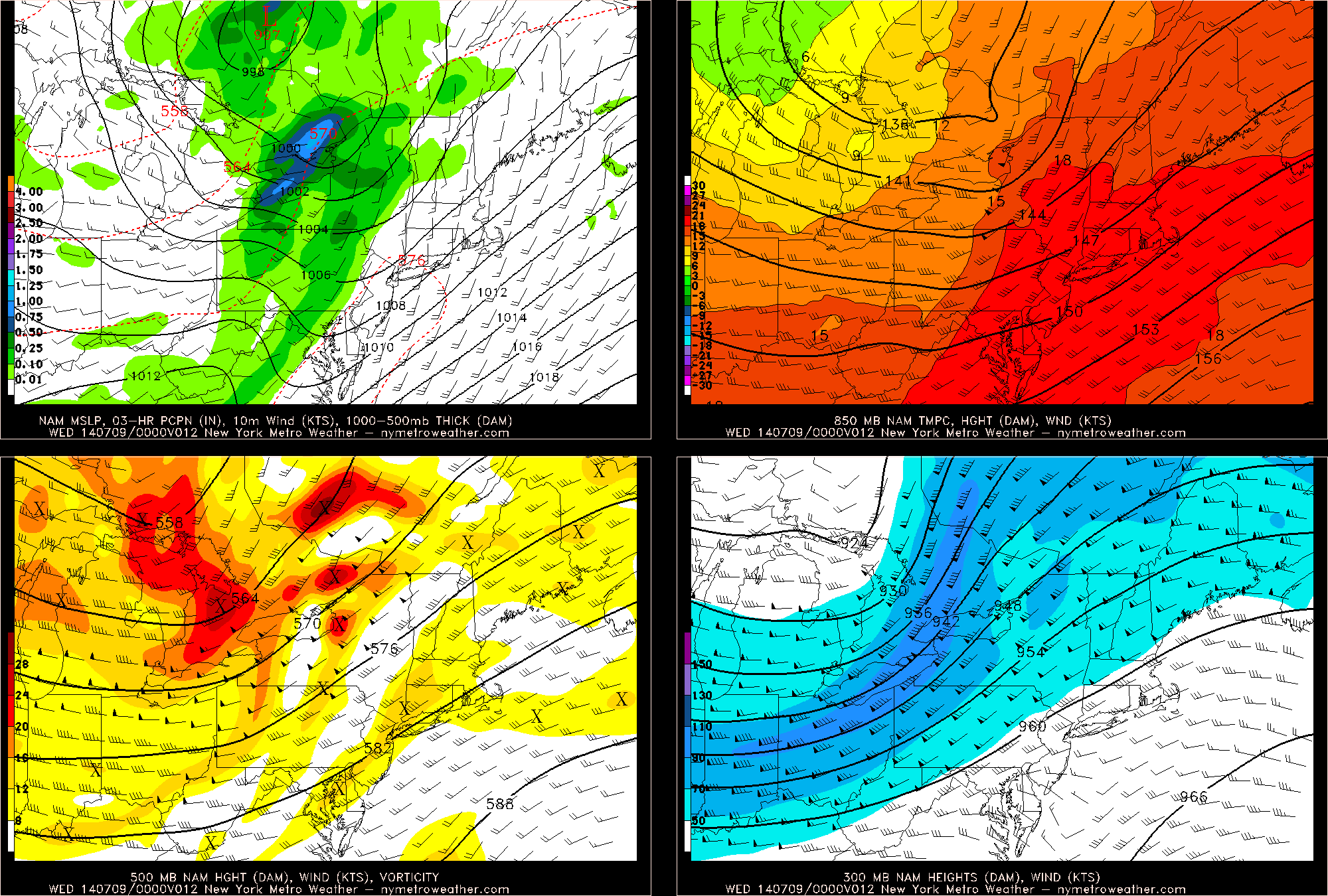
As an expansive, powerful upper level low will shift eastward from the Great Lakes toward parts of the Ohio Valley late this weekend into early next week. Immediately, the southerly flow ahead of it — and the nature of the upper level low shifting so far south this time of year — caught forecasters eye for severe weather potential in the Northeast US.  The combination of warm, southerly flow ahead of the approaching upper level low will at least support the potential for heavy rain, while the severe weather setup has become more complicated.

Sunday evening, the first “threat” for thunderstorms will develop over Pennsylvania and Western New York state, where lift for thunderstorm development and instability will support severe storm potential. These storms will move eastward toward parts of our area later tonight, but are expected to weaken over time as they lose support for organization. On Monday, however, things will change — as southerly flow strengthens in our area, shear aloft increases, and lift develops during the afternoon to aid in the development of thunderstorms. Figure 1 shows the approaching upper level system.

Figure 1 - NAM model showing the upper level system shifting toward the area on Monday.

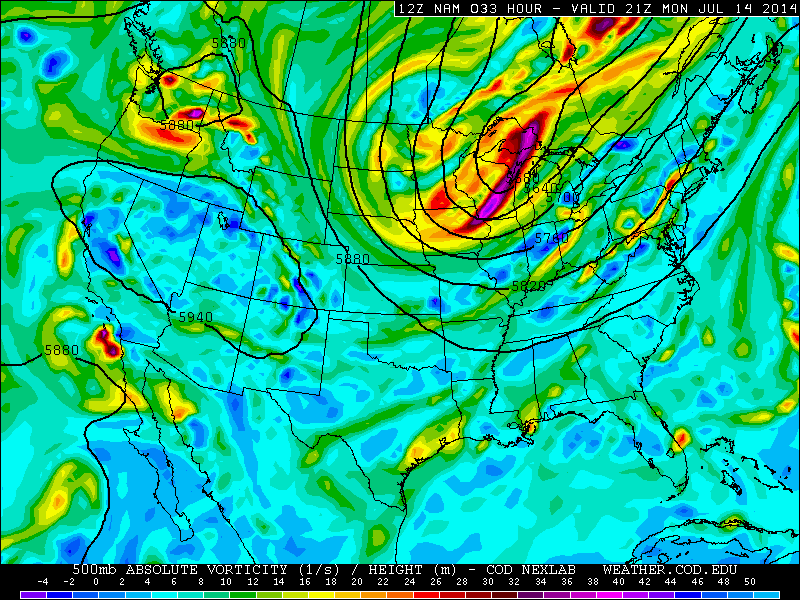
Figure 1 – NAM model showing the upper level system shifting toward the area on Monday.

Read more

Not-so-polar vortex will make disruptive return next week

Wait! Don’t go digging into your closet to find your winter jacket in that bin of winter clothes just yet. The Polar Vortex may “technically” be returning next week — but it isn’t so “polar” in air quality, and it may not be by other definitions as well. So is it really a Polar Vortex at all? The meteorological community is up in arms today over the usage of the term — and the end result is, of course, leading to varying opinions and arguments. The cause of the argument itself is the modeled approach of a massive upper level troughing system, which will feature much below normal temperatures both aloft and at the surface. The track, size and orientation of the system bear many resemblances to the Polar Vortex which tracked through the Great Lakes this past January.

Still, the time of year makes the sensible weather results quite different. Temperatures which are 10-20 degrees below normal (or more in some locations) won’t quite drop the thermometer near the freezing mark. But, still, things could get quite cool over the Great Lakes and Ohio Valley. Some meteorologists prefer to call the incoming system a Polar Vortex, others don’t. But the bottom line has to do more with meteorology than terminology — and the sensible weather effects are becoming more clear as we move closer. Figure 1 shows temperature anomalies at 850mb as forecast by the GFS next week. Notice the broad area of well below normal temperatures as a result of the large upper level troughing system with cold air moving south from Canada.

Fig 1. (Atmos Albany)

Fig 1. (Atmos Albany)

Read more

Warm, unsettled weather continues Wednesday

Strong thunderstorms powered through the area on Tuesday afternoon and evening, as an energetic trough moved through the Great Lakes and Ohio Valley. Thunderstorms maintained themselves through much of New Jersey on the leading edge of stronger forcing from the mid and upper level trough. As they shifted eastward, weakening occurred due to lesser instability in our area. Still, gust fronts on the edge of the pre-frontal trough mixed down stronger winds aloft, leading to branch and tree damage in many areas. Figure 1, below, shows the storm reports from Tuesday via the Storm Prediction Center. Needless to say — it was a significant severe weather event in the Northeast US.

Figure 1 (NWS/SPC)

Figure 1 (NWS/SPC)

Read more

Strong, severe storms possible this afternoon west of NYC

Hazy, hot and humid air has settled into the region this afternoon as southerly winds pump in the warmth thanks to mid level ridging. Back to our west-northwest, an energetic disturbance is ejecting northeastward through the Ohio Valley. Increased lift and forcing is helping to force the development of thunderstorms within an unstable environment, leading to the threat of widespread severe weather over Pennsylvania and New York State. The Storm Prediction Center has issued a Moderate Risk for severe weather in those areas through this evening.

Why is this threat developing? 

There are many pieces at play, but the main culprits are most definitely the Western Atlantic Ridge (actually centered near Bermuda at this point) and the incoming energetic trough. The combination of the two is leading to increased instability, strong forcing for thunderstorms, and sufficient wind shear for storm organization. Figure 1 (below) shows a four panel model image from this afternoons 12z NAM model. On the top left, the model is producing precipitation along elongated height falls from the system to our northwest. On the top right, very warm air at 850mb has advanced into the region with temperatures over 18 C. Finally, the bottom two panels show the energetic pattern at 500 and 300 mb.

Figure 1. (NYMetroWeather models)

Figure 1. (NYMetroWeather models)

Read more