-2")
Significant storm will bring rain, wind through Thursday
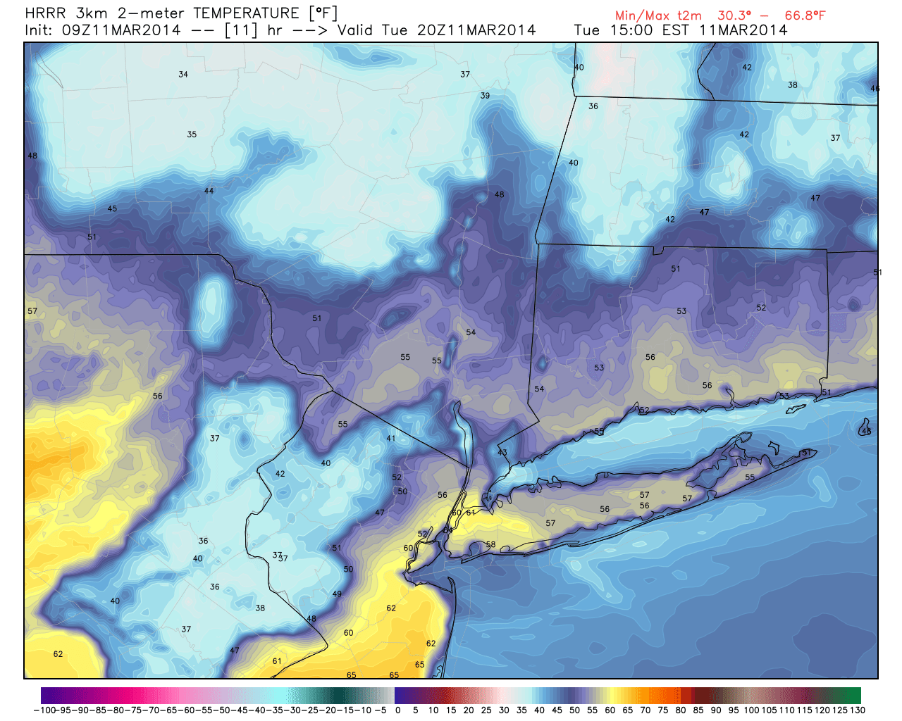
If you are a fan of changeable weather, today is for you. A major storm system, developing as a result of a mid level phase, will organize over the Tennessee Valley and shift northeastward to a position near New York City late tonight. The track will mean significant winter weather for our friends in Northern New England (including many of the major ski resorts), but more notably one of the more dramatic swings in sensible weather our area has seen in months. Temperatures will swing from the mid 60s to 70s in some spots this afternoon, all the way down into the 20s by Thursday morning.
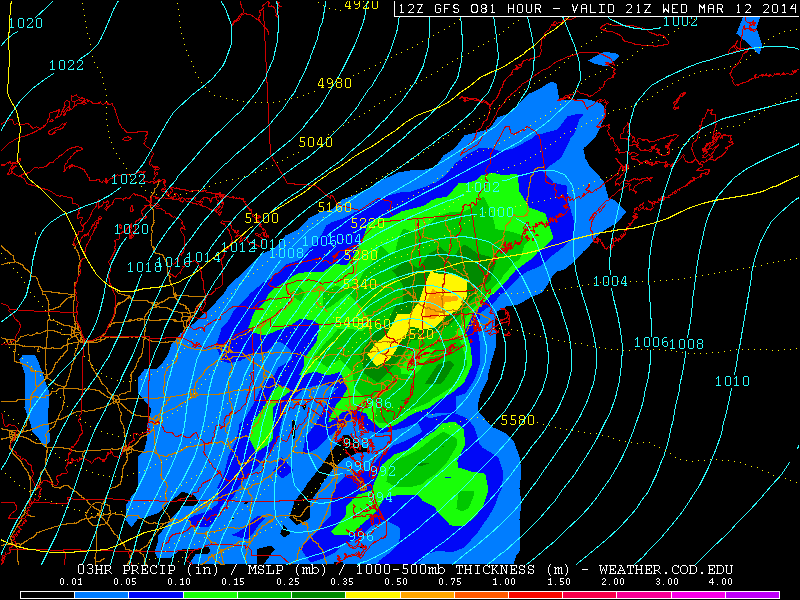
Not surprisingly, the significant storm system moving through the Northeast US Wednesday into Thursday will feature a powerful thermal gradient and cold front. Initially, the thermal gradient will develop along a warm front which will stretch from southwest to northeast through the Northeast Wednesday afternoon. Parts of New Jersey could eclipse 70 degrees as southerly winds increase and temperatures increase in the low levels. Forecast models show drizzle and rain eventually increasing in coverage and intensity by Wednesday evening as moisture and lift begin to increase and the frontal boundary approaches Central Pennsylvania.
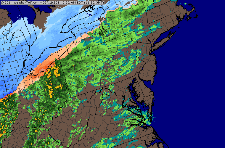
Regional radar imagery showing precipitation approaching the area as of 9:15am (weather tap).