-2")
Wednesday’s light snow gives way to near record cold
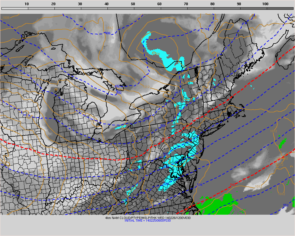
Light snow is falling throughout the area this morning and will continue to do so for the next several hours. The culprit is a weak mid level disturbance and associated elongated surface low, which in actuality is quite progressive and weak. But sufficient lift for precipitation and the presence of markedly colder air will set the table for a very light snow event through Wednesday evening. Accumulations will be quite light, thanks to the transient and light nature of precipitation and still relatively warm ground temperatures, ranging from a trace to 1″ in some isolated areas. The snow is expected to wind down by later Wednesday afternoon.
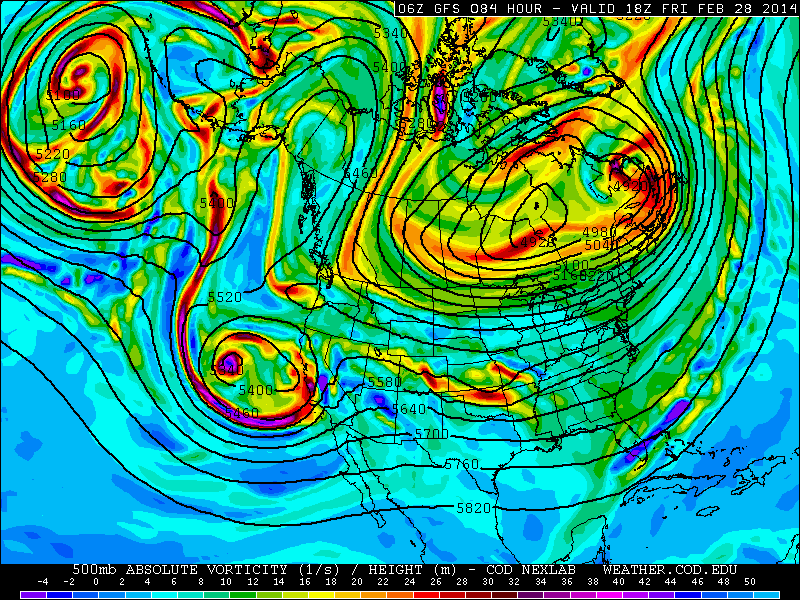
More notable than the light snow accumulations will be the impending shots of cold air, which will move from Canada and the Great Lakes into the Northeast on Thursday and Friday. A piece of the displaced Polar Vortex will shift southeastward toward Southeast Canada, and the resulting arctic front will drag anomalously cold air into the area behind Wednesday’s weak storm system and another clipper on Thursday. Temperatures aloft, at the 850mb level to be specific, will fall below -20 C in much of the area. Compare that to the +15 c temperatures at 850mb which reached the area last Friday, and you have yourself an idea as to how cold the airmass really is.
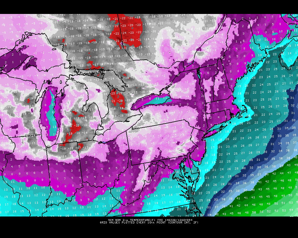
High resolution NAM model forecasting low temperatures in the single digits to near zero in the area on Friday morning.