-2")
PM Update: Freeze Warning in effect for many areas tonight
On the heels of a strong cold front which moved through the area yesterday, cold air both aloft and at the surface has settled into the region today. This air is unseasonably cold, in fact, with mid level temperatures several degrees below normal and surface temperatures only topping out in the lower 50’s this afternoon in many locations throughout the area. The cold air aloft even aided in some snow and graupel showers throughout the area during the afternoon today.
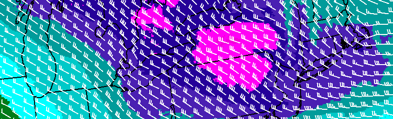
Nevertheless, tonight will be a cold one. Forecast models are in good agreement on mid level temperatures falling to even colder levels tonight than they did today. At the 850mb level, for example, models suggest temperatures will fall to near -10 C later tonight. That is a value much more common in the middle of winter, and not often seen in late April.
The result will be temperatures falling into the lower 30’s near the coast, and the upper 20’s inland. Accordingly, the National Weather Service has issued a Freeze Warning for many locations throughout the forecast area’s interior locations. In the city and nearer to the coast, temperatures are still expected to fall near 32-35 F.
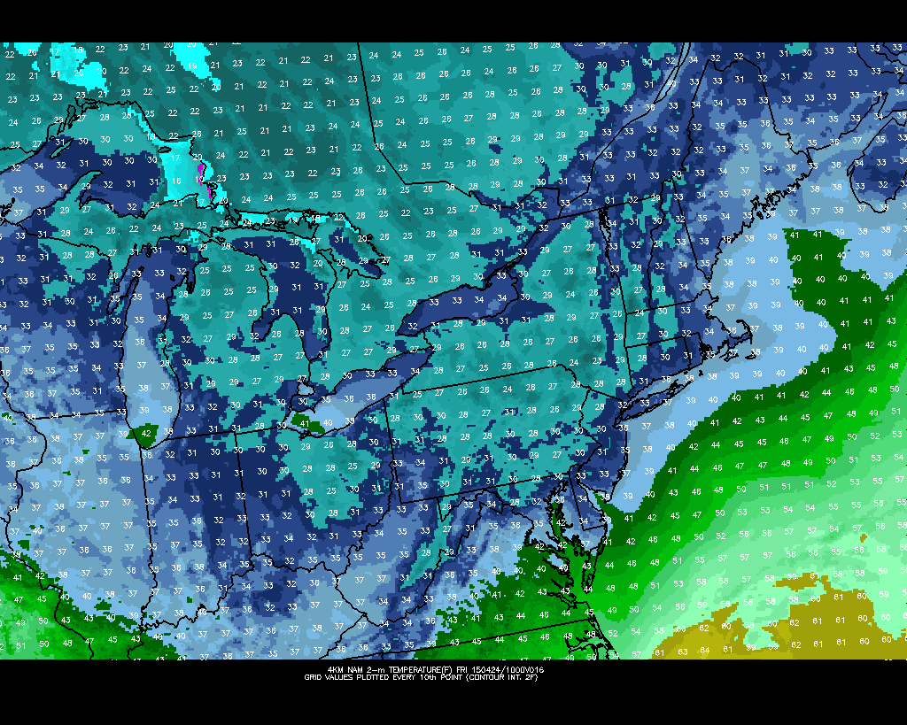
The NAM model shows temperatures falling into the upper 20’s and lower 30’s tonight.
Outdoor plants should be brought indoors — and crops as well as sensitive plants will be affected. If you’re headed out and about tonight or Friday morning, make sure to bring a heavier jacket. After a few days of warmer weather, these temperatures will feel fairly brutal once again.
The pattern over the medium to long range looks to feature more of the same. High latitude blocking development is forcing the development of multiple upper level troughs, which will aid in the southward transport of colder than normal air into the Northern 1/3 of the United States over the next week. For more on that, check out our article from earlier today.