-2")
Afternoon roundup: More humid, still unsettled
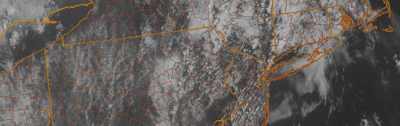
Rounds of clouds associated with increasing low level moisture surged into the area today, and they have broken up in coverage a bit this afternoon as daytime heating has increased. This daytime heating is, however, a bit of a blessing in disguise. Increasing atmospheric instability as a result of more sunshine will help to touch off additional storms this afternoon within a very moist environment. These showers and storms aren’t expected to be severe, but they could bring a period of unsettled weather to parts of New Jersey and New York City. These storms will eventually slip east/northeast of our area tonight, with some clearing expected. The unsettled weather will continue as a frontal boundary approaches the area Wednesday morning. Here’s a roundup of news and information from the meteorological community today:
- Unsettled weather will continue in our area, with a round of showers and storms this afternoon. They aren’t expected to be severe, with the Storm Prediction Center only indicating a chance of general thunder and no organized strong or severe storms. Still, a period of heavy rain and possibly a few lightning strikes are possible as they move through.
- Forecast models are fluctuating with the potential for a more organized area of showers and storms on Thursday Night and Friday morning. If it does move through, a period of steady or heavy rain would be possible. Some models bring it through our area, others track the system farther south.
- Unsettled weather will finally depart for the weekend. Models are in good agreement that a high pressure system will build in, with highs in the upper 80’s and partly cloudy conditions. Lower humidity a calmer conditions aloft will limit the chance for showers and storms.