-2")
Morning Roundup: Changeable weather returns
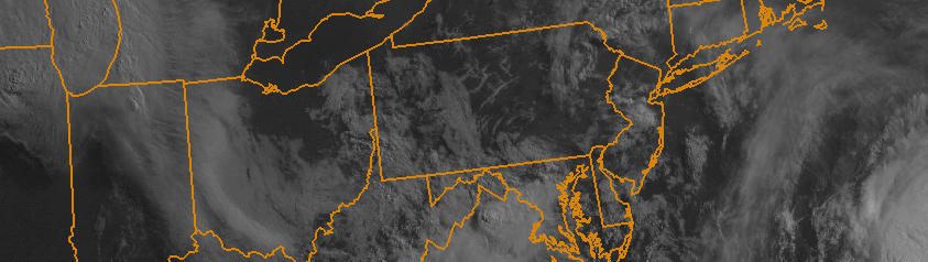
The weekend hangover is real. Monday morning brings change to a weekend which featured a stretch of incredible summer weather. Highs topped out in the mid to upper 80’s each day, with an offshore flow and only some high clouds at times. The sun was shining for the majority of the time — with Saturday and Sunday both turning out to be winners. Monday, still, will remain generally pleasant. A few showers and storms may pop up late, but we aren’t expecting any threat for organized storms. The same can’t be said for the middle of the week, beginning on Tuesday. A deepening trough in the mid levels of the atmosphere will bring more moisture, the return of an onshore flow with clouds, and chances for showers and storms for the next few days. Some highlights from around the meteorological community are included below:
- Pleasant and warm conditions will continue today, especially during the first half of the day. Highs in the 80’s are expected again and, initially, offshore winds will keep the weather pleasant. During the second half of the day, increasing clouds will be a harbinger of unsettled weather — with showers and storms possible.
- A severe weather outbreak is possible today across the Central Mississippi Valley. A very impressive complex of thunderstorms broke out overnight with widespread severe winds, and moved through Chicago this morning. The storms will drop southeast and strengthen again today. These are forming along the northern edge of a heat ridge over the Central Plains.
- An onshore flow will develop Monday Night with a changing wind direction. Increased moisture and cloud cover will move inland from the area waters. Temperatures, as a result, will be a bit cooler during the middle part of this week.
- A coastal system may develop during the middle part of the week as a deepening trough moves into the Northeast US. Showers, clouds and storms will remain possible until the system departs later in the week.