Strong thunderstorms possible this afternoon
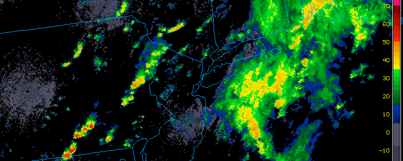
After a heavy soaking of much-needed rainfall for much of the area, we have a temporary lull in the action. Central Park received 1.16″ of rain, while JFK received 1.12″ — most areas had around or just over an inch of rain, including Long Island where a moderate drought had been present.
The initial more widespread area of rainfall had been from a warm front, but that has since moved through, except in Suffolk County where another band of rain will be hitting from the Atlantic. The next area of forcing for precipitation is from a cold front, which is still off to the west in Central Pennsylvania, thus the current break in precipitation.
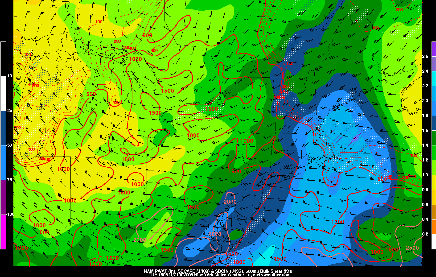
With all of the low-level moisture, temperatures warming up a bit, the cold front back to the west, and fast mid and upper level winds from a rigorous trough, there is a decent instability and wind shear juxtaposition for strong thunderstorms. Hail does not look look to be a threat, as updrafts will not be strong enough to generate hail stones, but a line or cluster of thunderstorms that produce wind gusts over 40mph is possible as we head towards the late-afternoon hours. Severe weather looks unlikely, as the instability is not quite strong enough for the thunderstorms to reach those levels.

Today’s NAM Model valid for 5:00pm shows a decent combination of moisture, wind shear, and instability for strong thunderstorms.
Moisture will gradually be lessening as the afternoon goes on, but there will still be enough for heavy downpours and perhaps some urban flooding in any thunderstorms. The persistent, widespread heavy rainfall, however, is over, as any heavy rain will be a lot more scattered. The cold front will cross the area later this evening, drying things out and leading to a lovely Wednesday.

