-2")

Pleasant weather for the foreseeable future
This time of year, in this part of the country, it’s not often that we can write a headline like the one above. The current weather pattern, however, dictates otherwise — and that pattern looks to continue for at least the next several days. Incredibly pleasant, benign weather will continue through the remainder of this work week and into the weekend. Temperatures will slowly warm each day, but remain very comfortable. A light breeze will accompany mostly clear skies.
Only a weekend cold front looks to interrupt the forecast, but most models keep moisture limited and precipitation very spotty as a result. Temperatures will trend a bit cooler as it passes, but are expected to recover only a day or two after. This takes our forecast into early next week which, in terms of forecasting accurately, is an eternity.
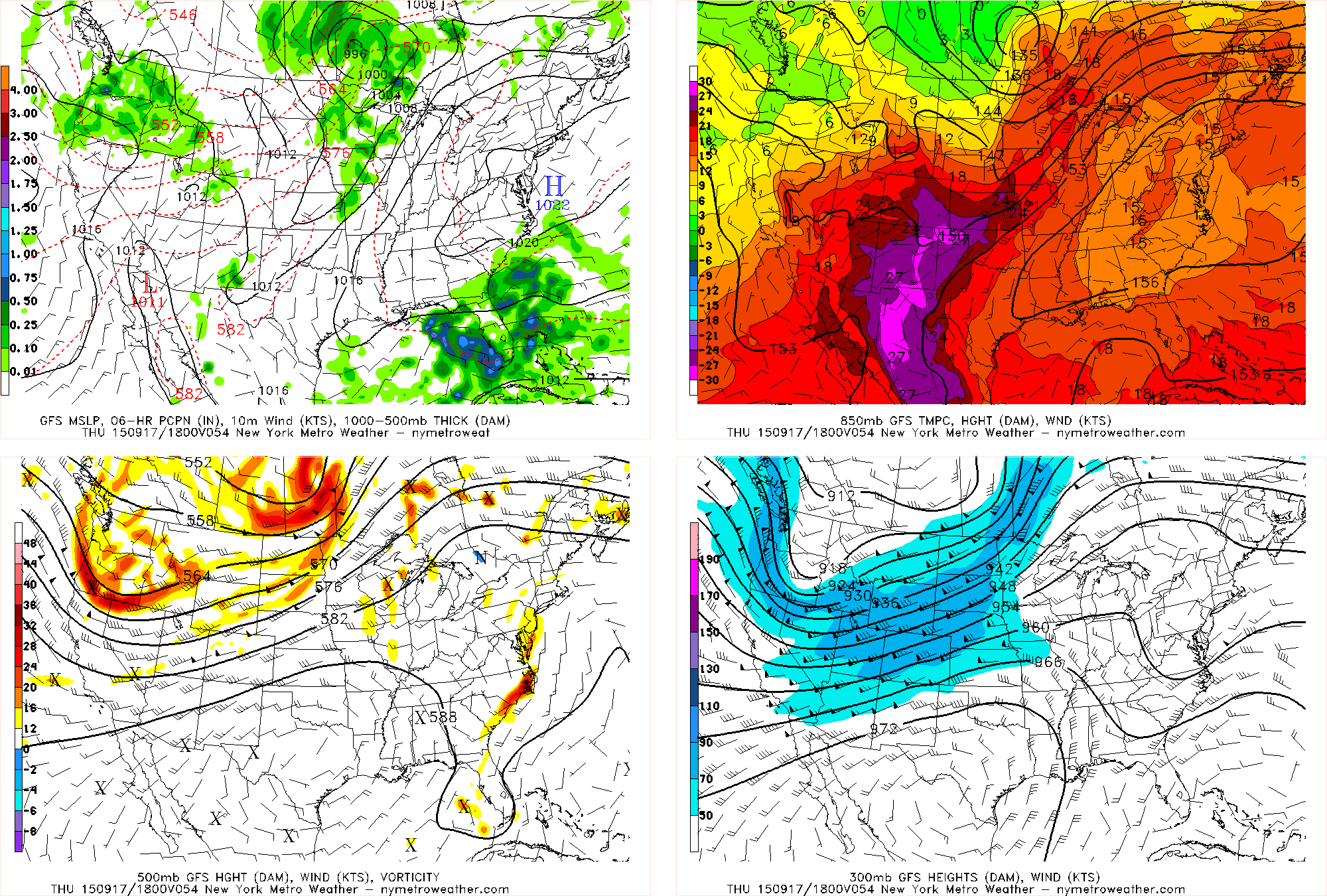
The pattern is a result of a progressive trend — very little amplitude on either the West or East Coast of the United States. Most disturbances are still tracking well to our north over Central Canada, and dry calm air is settled from the Central through the Eastern United States. A strong disturbance will have to amplify to buck the this trend, and no forecast model indicates that occurring within a week’s time. It’s essentially a summer-like pattern with the jet stream very far north, but just with a bit of modification due to the time of year.
In fact, at times it will be pretty darn hot for this time of year, with temperatures in the mid to upper 80s — with perhaps a warm spot touching 90. This is over ten agrees above average, and may end up leading to our warmest September ever. Fortunately, the airmass will remain quite dry, which means that humidity will remain low, so it will feel pleasant outside during the entire stretch. It’s hard to ask for weather much better than sunny skies, light winds, low humidity, and temperatures in the mid 80s. The clear skies, light winds, and low humidity will still allow for relatively cool evenings and nights, at least when compared to the magnitude of warmth during the day.
Humidity may increase just a tad on Saturday and Sunday, as the cold front approaches and ushers in a stronger southerly flow — thus bringing in more humidity. However, dewpoints don’t look to go much past 60 if at all, so it should still feel pleasant. Once the front comes through on Sunday evening, dewpoints may fall back into the 30s! That is a true taste of autumn.
The beginning of next week will be a tad chillier due to the aforementioned cold front sliding through this weekend, as temperatures will start in the mid to upper 70s.