-2")
Pleasant, seasonable weather will return this week
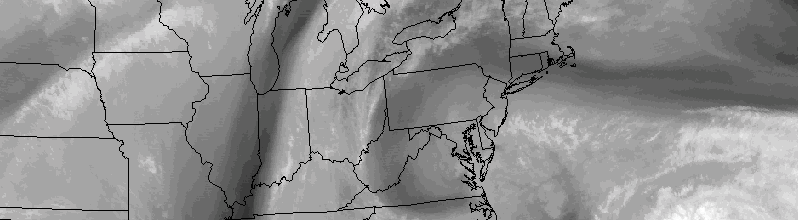
After a tumultuous series of events last week, including the potential for Hurricane Joaquin to significantly impact our area, this week is sure to feel extra-relaxing, especially for meteorologists. While the impacts of Joaquin remained mostly here-say, the intricacies of how close the storm really was to impacting the East Coast has left meteorologists breathing a sigh of relief.
Luckily, the week looks likely to feature much more pleasant and quiet weather. Although we didn’t totally escape impacts from the anomalous pattern (See: Dangerous coastal and tidal flooding over the past several days), the upcoming one will be much quieter as a whole. High pressure will build in, with seasonable temperatures continuing. Precipitation is expected to stay out of the forecast until the latter half of the week.
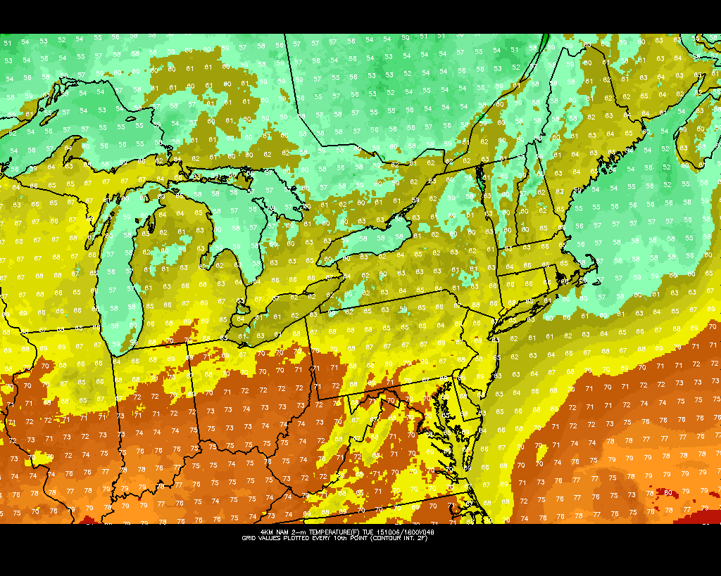
NAM model showing comfortable, pleasant temperatures this week.
As an upper level low shifts eastward later today, higher heights in the middle levels of the atmosphere will move toward the area. Mostly benign weather will settle in through, at the very least, Thursday. Temperatures should remain slightly cooler than average to start — but will warm up to near average as the week goes on.
The next chance for organized precipitation of any kind will come with a frontal passage during the later half of the week. Forecast models are in decent agreement that the number of mid level disturbances passing through the area will begin to pick up later this week into the weeks that follow. This is fairly typical for Autumn, as the mid level jet stream settles closer to the United States after being tucked away to our north during warm season.