-2")
Unsettled weather, rain likely on Tuesday
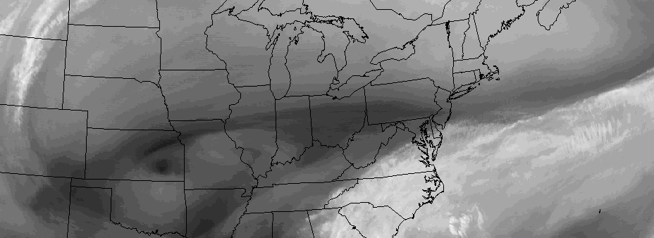
Tropical Depression Twelve formed in the Southwest Atlantic on Sunday evening, according to the National Hurricane Center, and will continue moving north-westward until this evening when it will begin a northeast turn out to sea. The effects from the system, however indirect they may be, will be felt in our area on Tuesday. Tropical moisture feeding northward and interacting with a mid level disturbance over the Mid Atlantic states will bring a heightened likelihood of unsettled weather.
Pleasant conditions are expected to continue on Monday, as the mid level disturbance will still be hundreds of miles away from our area. But by later Monday evening, high clouds will stream toward the area with the approaching system, and showers will begin moving in from the southwest by later Monday Night.
On Tuesday, forecast models agree that a low pressure system will develop near the Mid Atlantic coast as a result of the aforementioned mid-level disturbance shifting from the Ohio Valley toward the Mid Atlantic. Atmospheric lift for precipitation will increase, and showers will become increasingly likely on Tuesday morning.
Making matters worse will be the tropical moisture streaming toward the system. While Tropical Depression Twelve won’t directly impact the area at all, the moisture from the disturbance will become entrenched in a low level jet which will move toward the area on Tuesday.
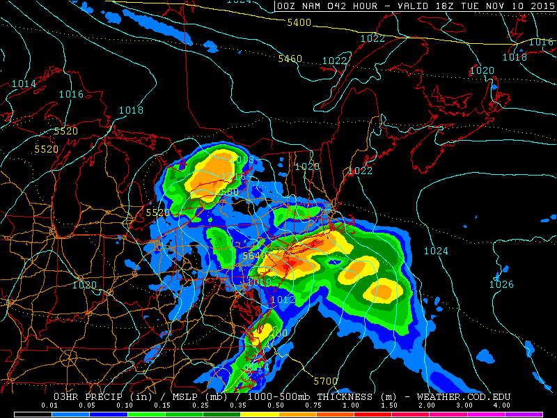
NAM model showing heavy rain on Tuesday morning and afternoon.
Accordingly, periods of moderate to heavy rain are likely on Tuesday as the best forcing for precipitation and moisture pass by. Rainfall totals in excess of 1/2″, while not widespread, will certainly be possible in areas where the heavier rain sets up. Travel will likely be impacted on Tuesday with lowered visibility in heavy rain, as well as localized flooding in poor drainage and low lying urban areas.
The exact area where the heaviest rain sets up is currently in question. Forecast models remain inconsistent, with some showing very heavy rain over our area, while others show the heaviest rain just offshore. Short term/mesoscale analysis from tonight into Tuesday morning will give us a better idea as to where this axis will set up.
The system won’t stick around for too long, however, as the pattern remains progressive. An upper level low will provide a chance of showers again on Thursday, but overall the pattern will remain progressive with improving weather on both Wednesday and the end of the week, toward the weekend.