-2")
Synopsis: Autumn air in the Northeast US late week
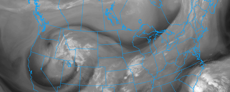
A powerful cold front and thermal gradient, associated with a northern stream atmospheric disturbance, will move toward the area later this week. Along with some showers and storms, the front will bring a much cooler and drier airmass, with origins in Canada, allowing temperatures to fall fairly dramatically on Thursday and Friday. This will come in stark contrast to the overall warm and moist regime which our area has been settled in for quite some time now.
The front will move through later Wednesday, without too much fanfare. Lingering through Wednesday night, a few showers and storms will be possible, but overall limited atmospheric instability will preclude any threat for organized thunderstorms or hazardous weather. Instead, the main story will be a wind shift and temperature drop, as very cool air aloft rapidly shifts into the region and winds turn west-northwesterly.
On both Thursday and Friday, the air will be filled with an Autumnal chill. Temperatures in the mid and upper levels of the atmosphere will fall quite dramatically, allowing temperatures even at the surface — near our heads — to fall below normal for this time of year as well. Overnight lows on Thursday and Friday mornings, shortly before sunset, will drop into the 40’s in the interior locations of the Northeast US — even the mid to upper 30’s in the much higher elevations.
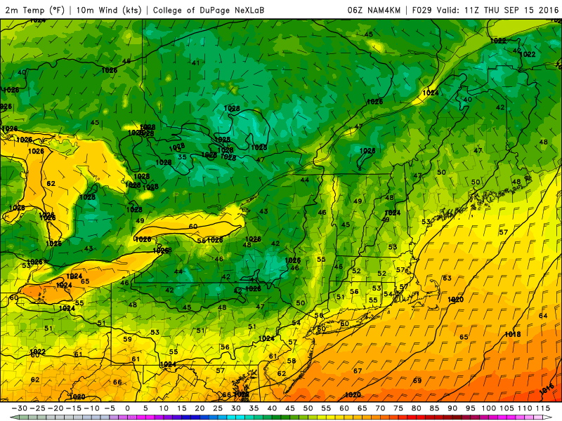
NAM model showing low temperatures in the 30’s and 40’s in the higher elevations of New England on Thursday morning.
Interests with crops in the interior Northeast will have to carefully watch the temperature on both mornings, and should make preparations in case of frost. Meanwhile, closer to the city and the coast, temperatures will remain in the 50’s, despite the Autumn chill and low humidity airmass.
Nevertheless, Thursday and Friday will both be beautiful days throughout the Northeast US. Plenty of sunshine is expected and temperatures, solidly below normal for this time of year, will top out from the upper 60’s to middle 70’s throughout New England and the Northern Mid Atlantic.
A slow moderation in temperature is expected through the weekend as the cold airmass modifies to its surroundings and a ridge rebuilds over the area.