-2")
Premium: Inland freeze tonight, incoming storm Thursday
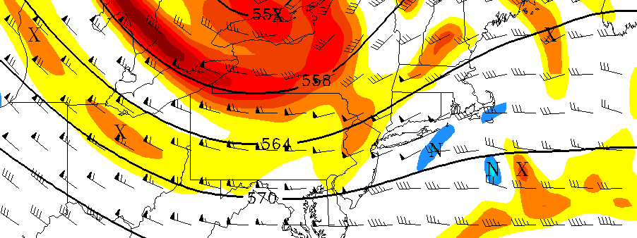
High pressure from Canada will allow cold air to surge into the area over the next few days, an airmass will be characterized as unusually cold even for late October. After mostly sunny skies this morning, some atmospheric instability with daytime heating and moisture aloft will lead to more clouds mixing in with sunshine this afternoon. High temperatures throughout the NYC Metro Area and the Northern Mid Atlantic will reach into the middle 50’s, with continually breezy conditions thanks to a tight pressure gradient with a low pressure over the Canadian Maritimes.
Skies will clear during the evening hours tonight, and winds will become lighter overnight as instability diminishes with the loss of daytime heating, all as very cold air seeps into the area from the northwest. This will support very cold temperatures overnight and by daybreak on Wednesday, temperatures will have dropped into the middle and upper 30s over NYC and other urban and coastal areas. Many of the suburbs will drop into the lower to middle 30s, with some middle to upper 20s possible over parts of over the interior and higher elevations. This could lead to a freeze with some patchy frost in those areas that have not experienced frost or freeze yet this cold season. Therefore, the National Weather Service has issued Freeze Warnings for many of the inland suburbs tonight and even Frost Advisories for urban areas around Philadelphia.
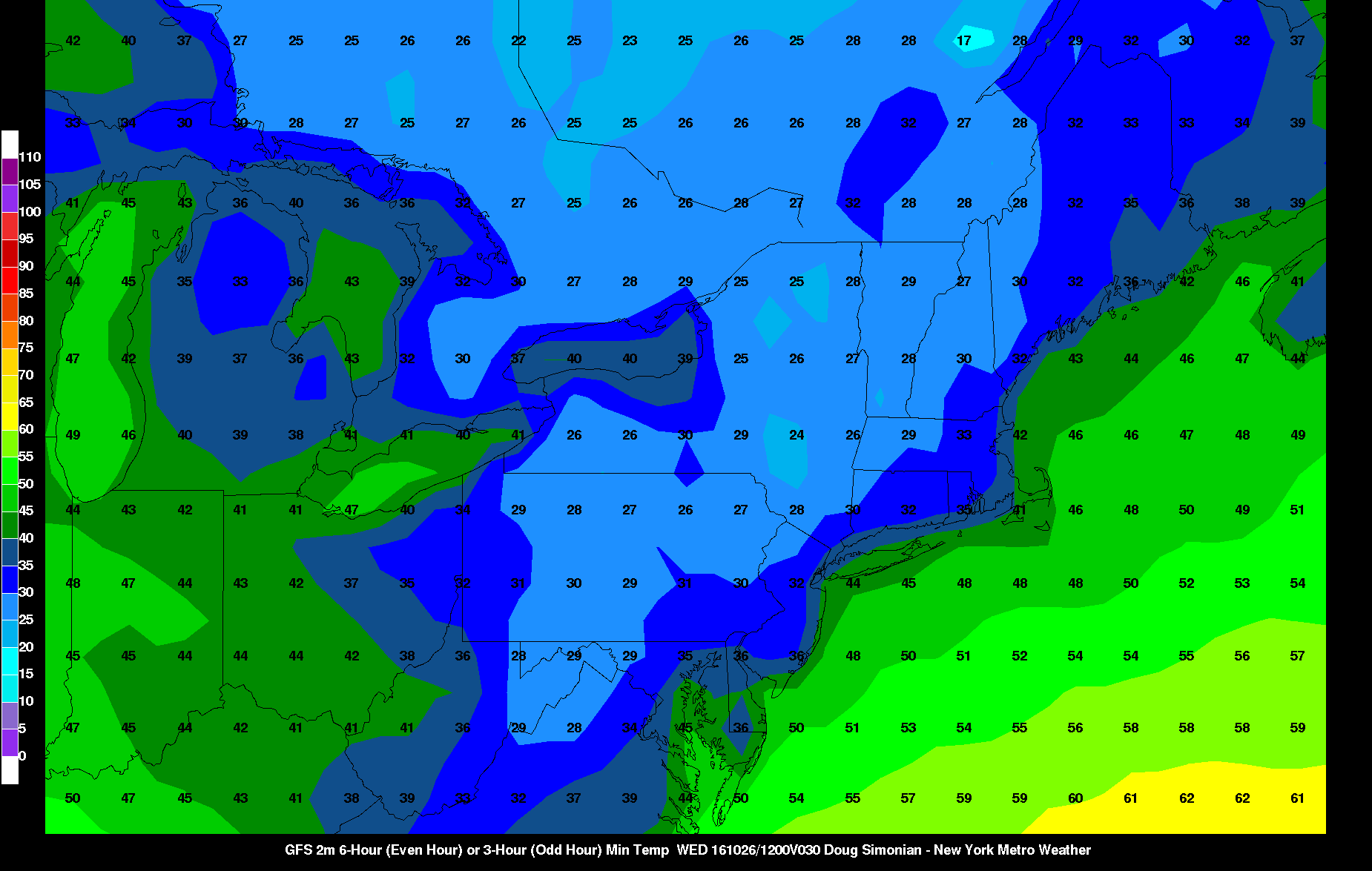
The GFS model showing low temperatures in upper 20s to mid 30s over inland areas tomorrow morning
On Wednesday, high pressure will be moving into Western Quebec. A more northerly flow will keep the atmosphere stable and drier during the afternoon. So mostly sunny skies are expected throughout the majority of the Northeast. This northerly wind flow will also keep temperatures cooler, struggling to reach out of the 40’s throughout much of New England as the core of the cold Canadian airmass moves overhead. Mostly clear skies will remain into evening hours with temperatures falling back into 30s and lower 40s over across the region overnight.
Attention will then turn to low pressure tracking into the Eastern Ohio Valley and Great Lakes region, causing a warm front to surge toward the Northeast United States. Light to moderate precipitation may approach the cold airmass, which will be on its way out, before the atmosphere can completely warm — and this will be especially true across the interior Northeast including New York State. While only rain is anticipated along the coast and in the metro areas of Philadelphia and New York City, a brief burst of frozen precipitation is possible across the interior suburbs. This may be prolonged a bit in the higher elevations of Northwest New Jersey, Southeast New York — and become even more prolonged across the far interior areas of New York State. Accumulations are likely to be minor outside of the far interior/higher elevations.
Some periods of light to moderate rain will continue through the afternoon. The warm front will start pushing northeastward through the Northeast United States on Thursday Night, allowing temperatures to rise well into the 50’s and possibly even the lower 60’s near the coast. A weak secondary low pressure area may develop near the frontal boundary, enhancing steadier and heavier rain by Thursday evening.
The entire system will exit the Northeast US by Friday morning, with more sunshine expected during the day on Friday. The fast-moving and changing pattern will push another storm system into the area over the weekend.