-2")
Thursday Overview: Pleasant Weather Returns, Colder by Saturday AM
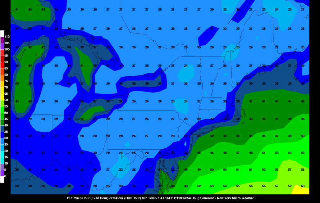
After a dismal day on Wednesday, high pressure over the region will provide more pleasant Autumn weather today with plenty of sunshine. Temperatures will be cool but seasonable for this time of year. Highs will be in the mid-upper 50s with only some light breezes out of the northwest by this afternoon. High pressure will continue to keep skies will be mostly clear during evening and overnight hours tonight. It will be chilly, with low temperatures likely in the 40s in NYC and coastal areas and some 30s over the inland areas.
On Friday, a strong cold front will be moving through, during the late morning and early afternoon hours. Some more clouds may be around with sunshine tomorrow. But mainly dry conditions are anticipated with a lack of lift and moisture with the front. High temperatures before the front passes, will be in the upper 50s to lower 60s. It will also become breezy with gusty northwest winds. Then a much colder airmass will arrive on Friday night. Temperatures will drop into the middle 20s to lower 30s over many of the suburbs. Lows in will likely be in the lower or middle 30s over NYC and urban areas with the first patchy frost or freeze of the season possible for these areas. Some other highlights coming up over next days:
- Saturday will be the colder day of the weekend, with high temperatures in the 40s over much of the region.
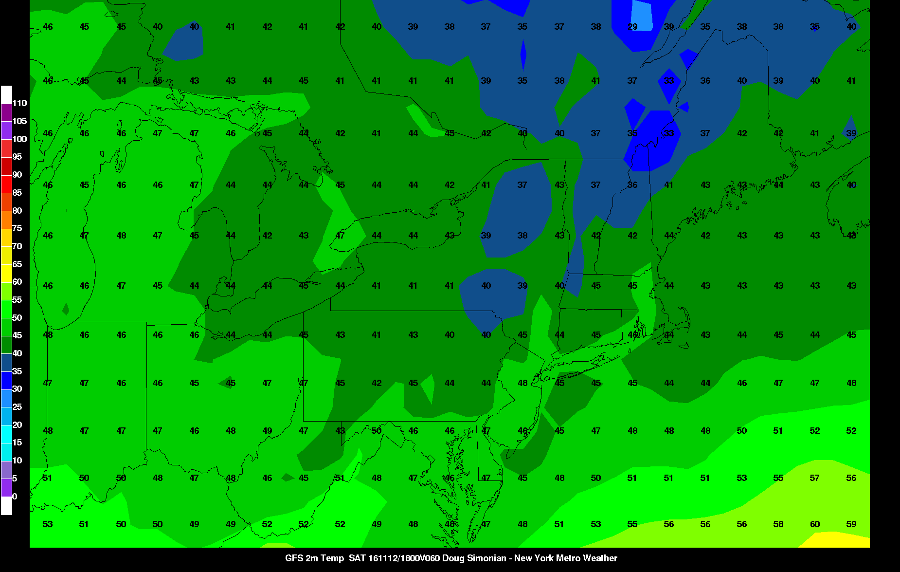
- A quick warming trend still expected by Sunday afternoon with temperatures likely back in the upper 50s or lower 60s.
- Much of the region continues to be under a severe drought, with no significant rainfall expected through at least the weekend.
For more details on the forecast, including video discussions, long range outlooks and an early look at the winter forecast, become a Premium member today!